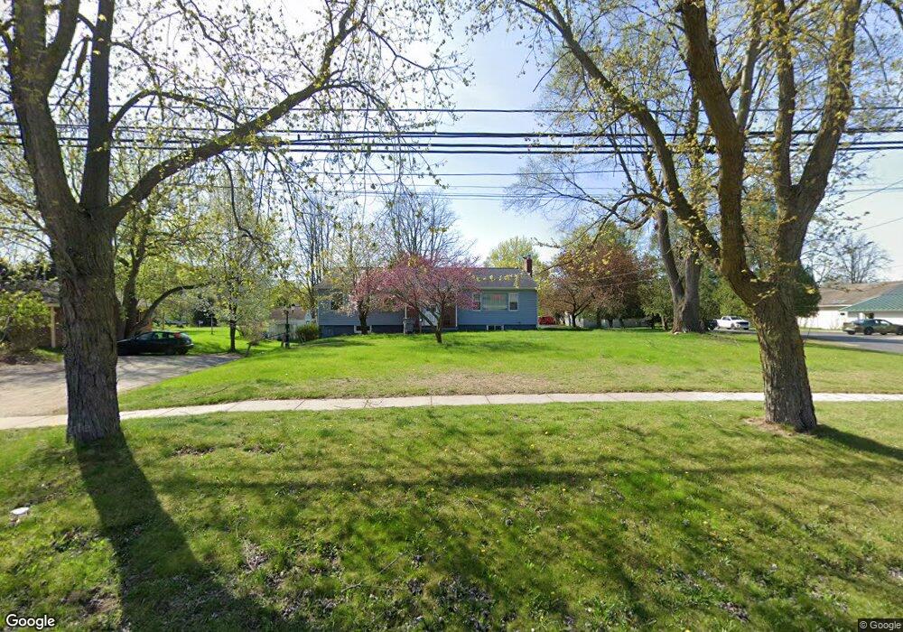
619 W Broad St Linden, MI 48451
Estimated Value: $307,000 - $344,000
4
Beds
3
Baths
1,456
Sq Ft
$221/Sq Ft
Est. Value
About This Home
This home is located at 619 W Broad St, Linden, MI 48451 and is currently estimated at $322,468, approximately $221 per square foot. 619 W Broad St is a home located in Genesee County with nearby schools including Hyatt Elementary School, Linden Middle School, and Linden High School.
Ownership History
Date
Name
Owned For
Owner Type
Purchase Details
Closed on
Sep 5, 2017
Sold by
Hibbard Constance Marie
Bought by
120 W First Llc
Current Estimated Value
Purchase Details
Closed on
Aug 30, 2007
Sold by
Hibbard Constance Marie and Hibbard Constance M
Bought by
Hibbard Constance M and Constance Hibbard Revocable Trust
Create a Home Valuation Report for This Property
The Home Valuation Report is an in-depth analysis detailing your home's value as well as a comparison with similar homes in the area
Home Values in the Area
Average Home Value in this Area
Purchase History
| Date | Buyer | Sale Price | Title Company |
|---|---|---|---|
| 120 W First Llc | $165,000 | None Available | |
| Hibbard Constance M | -- | None Available |
Source: Public Records
Tax History
| Year | Tax Paid | Tax Assessment Tax Assessment Total Assessment is a certain percentage of the fair market value that is determined by local assessors to be the total taxable value of land and additions on the property. | Land | Improvement |
|---|---|---|---|---|
| 2025 | $6,468 | $153,700 | $0 | $0 |
| 2024 | $3,666 | $145,300 | $0 | $0 |
| 2023 | $3,027 | $109,800 | $0 | $0 |
| 2022 | $4,852 | $86,600 | $0 | $0 |
| 2021 | $4,356 | $79,500 | $0 | $0 |
| 2020 | $2,757 | $78,300 | $0 | $0 |
| 2019 | $2,746 | $68,000 | $0 | $0 |
| 2018 | $2,765 | $68,000 | $0 | $0 |
| 2017 | $2,384 | $64,600 | $0 | $0 |
| 2016 | $2,391 | $67,700 | $0 | $0 |
| 2015 | $2,366 | $64,300 | $0 | $0 |
| 2012 | -- | $49,953 | $49,953 | $0 |
Source: Public Records
Map
Nearby Homes
- 513 W Broad St
- 16257 Rogan Dr
- 16245 Rogan Dr
- 330 Stan Eaton Dr
- 6342 Restwood Dr
- 15123 Meadow Ln
- 5290 Spring Meadows Way
- VL Lakeview Park Dr
- 5220 Amelia Earhart Dr
- 5202 Amelia Earhart Dr
- 15051 Poberezny Ct
- 5194 Amelia Earhart Dr
- 532 E Broad St
- 712 Bush St
- 15489 Linden Rd
- 1565 W Rolston Rd
- 331 Andrea Ave Unit 63
- 16501 Bedington Dr
- 16518 Bedington Dr
- 15451 Whitaker Rd
Your Personal Tour Guide
Ask me questions while you tour the home.