619 Windridge Rd Clarkesville, GA 30523
Estimated Value: $479,180 - $632,000
4
Beds
3
Baths
3,448
Sq Ft
$159/Sq Ft
Est. Value
About This Home
This home is located at 619 Windridge Rd, Clarkesville, GA 30523 and is currently estimated at $549,545, approximately $159 per square foot. 619 Windridge Rd is a home located in Habersham County with nearby schools including Clarkesville Elementary School, North Habersham Middle School, and Habersham Success Academy.
Ownership History
Date
Name
Owned For
Owner Type
Purchase Details
Closed on
Apr 1, 2007
Sold by
Not Provided
Bought by
Crowe Jeffery Scott and Crowe Wanda Gene
Current Estimated Value
Home Financials for this Owner
Home Financials are based on the most recent Mortgage that was taken out on this home.
Original Mortgage
$181,200
Outstanding Balance
$109,257
Interest Rate
6.1%
Mortgage Type
New Conventional
Estimated Equity
$440,288
Create a Home Valuation Report for This Property
The Home Valuation Report is an in-depth analysis detailing your home's value as well as a comparison with similar homes in the area
Home Values in the Area
Average Home Value in this Area
Purchase History
| Date | Buyer | Sale Price | Title Company |
|---|---|---|---|
| Crowe Jeffery Scott | $226,500 | -- |
Source: Public Records
Mortgage History
| Date | Status | Borrower | Loan Amount |
|---|---|---|---|
| Open | Crowe Jeffery Scott | $181,200 |
Source: Public Records
Tax History
| Year | Tax Paid | Tax Assessment Tax Assessment Total Assessment is a certain percentage of the fair market value that is determined by local assessors to be the total taxable value of land and additions on the property. | Land | Improvement |
|---|---|---|---|---|
| 2025 | $1,001 | $173,456 | $25,536 | $147,920 |
| 2024 | -- | $159,716 | $11,136 | $148,580 |
| 2023 | $805 | $134,004 | $11,136 | $122,868 |
| 2022 | $2,248 | $116,540 | $11,136 | $105,404 |
| 2021 | $2,157 | $107,260 | $10,440 | $96,820 |
| 2020 | $2,258 | $93,660 | $10,440 | $83,220 |
| 2019 | $2,260 | $93,660 | $10,440 | $83,220 |
| 2018 | $2,247 | $93,660 | $10,440 | $83,220 |
| 2017 | $0 | $86,180 | $10,440 | $75,740 |
| 2016 | $2,074 | $213,710 | $9,744 | $75,740 |
| 2015 | $2,052 | $213,710 | $9,744 | $75,740 |
| 2014 | $2,060 | $208,420 | $9,744 | $73,624 |
| 2013 | -- | $83,368 | $9,744 | $73,624 |
Source: Public Records
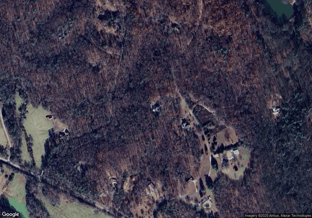
Map
Nearby Homes
- 254 Ridgewood Rd
- 3077 Alec Mountain Rd
- 2335 Stonepile Rd Unit LOT 2
- 2345 Stonepile Rd Unit LOT 1
- 2325 Stonepile Rd Unit LOT 3
- 2300 Stonepile Rd
- 2315 Stonepile Rd Unit LOT 4
- 115 Sunrise Cove
- 2558 Stonepile Rd
- 214 Signing Tree Trail
- 238 Signing Tree Trail
- 219 Signing Tree Ln
- LOT 27 Spring Field Dr
- 147 Crest Winds Dr
- 12 ACRES Still Rd
- 1492 Ivy Mountain Rd
- 5012 Alec Mountain Rd
- 2063 Highway 197 N
- 1947 Ivy Mountain Rd
- 220 Hardman Rd
- 677 Windridge Rd
- 501 Windridge Rd
- 580 Windridge Rd
- 243 Windridge Rd
- 207 Drift Wood Dr
- 0 Driftwood Dr Unit 8972731
- 0 Driftwood Dr Unit 8723033
- 385 Windridge Rd
- 740 Windridge Rd
- 2683 Alec Mountain Rd
- 2813 Alec Mountain Rd
- 2721 Alec Mountain Rd
- 488 Windridge Rd Unit 10
- 488 Windridge Rd
- 320 Windridge Rd
- 2615 Alec Mountain Rd
- 525 Drift Wood Dr
- 525 Driftwood Dr
- 588 Windridge Rd
- Lot 5 Alec Mountain Rd
Your Personal Tour Guide
Ask me questions while you tour the home.