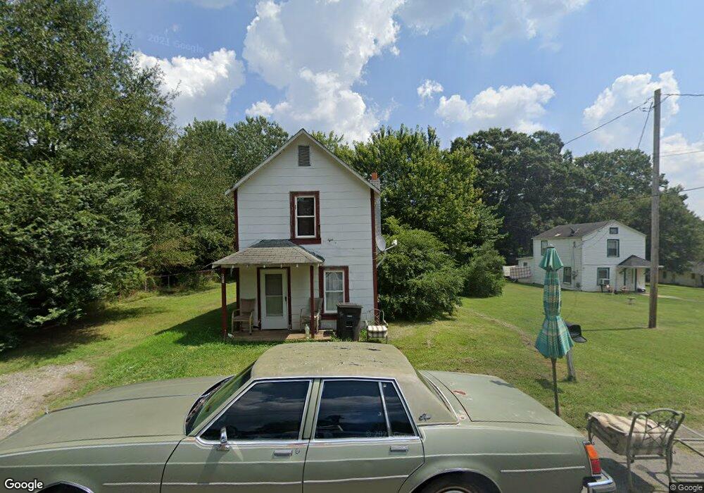
619 Woodlawn Dr Statesville, NC 28677
Estimated Value: $51,000 - $169,000
2
Beds
1
Bath
756
Sq Ft
$140/Sq Ft
Est. Value
About This Home
This home is located at 619 Woodlawn Dr, Statesville, NC 28677 and is currently estimated at $105,761, approximately $139 per square foot. 619 Woodlawn Dr is a home located in Iredell County with nearby schools including N.B. Mills Elementary School, West Iredell Middle School, and West Iredell High School.
Ownership History
Date
Name
Owned For
Owner Type
Purchase Details
Closed on
Dec 15, 2008
Sold by
Summers Roger Dale
Bought by
Tucker Michael Johnson
Current Estimated Value
Purchase Details
Closed on
Apr 1, 2005
Sold by
Tucker Michael Johnson
Bought by
Summers Roger Dale
Home Financials for this Owner
Home Financials are based on the most recent Mortgage that was taken out on this home.
Original Mortgage
$213,000
Interest Rate
5.57%
Mortgage Type
Seller Take Back
Purchase Details
Closed on
Dec 1, 1988
Purchase Details
Closed on
Jun 1, 1979
Create a Home Valuation Report for This Property
The Home Valuation Report is an in-depth analysis detailing your home's value as well as a comparison with similar homes in the area
Home Values in the Area
Average Home Value in this Area
Purchase History
| Date | Buyer | Sale Price | Title Company |
|---|---|---|---|
| Tucker Michael Johnson | -- | None Available | |
| Summers Roger Dale | $218,000 | -- | |
| -- | -- | -- | |
| -- | -- | -- |
Source: Public Records
Mortgage History
| Date | Status | Borrower | Loan Amount |
|---|---|---|---|
| Previous Owner | Summers Roger Dale | $213,000 |
Source: Public Records
Tax History Compared to Growth
Tax History
| Year | Tax Paid | Tax Assessment Tax Assessment Total Assessment is a certain percentage of the fair market value that is determined by local assessors to be the total taxable value of land and additions on the property. | Land | Improvement |
|---|---|---|---|---|
| 2024 | $380 | $31,410 | $6,000 | $25,410 |
| 2023 | $380 | $31,410 | $6,000 | $25,410 |
| 2022 | $314 | $17,870 | $2,600 | $15,270 |
| 2021 | $370 | $17,870 | $2,600 | $15,270 |
| 2020 | $370 | $17,870 | $2,600 | $15,270 |
| 2019 | $368 | $17,870 | $2,600 | $15,270 |
| 2018 | $290 | $11,650 | $2,000 | $9,650 |
| 2017 | $287 | $11,650 | $2,000 | $9,650 |
| 2016 | $287 | $11,650 | $2,000 | $9,650 |
| 2015 | $161 | $11,650 | $2,000 | $9,650 |
| 2014 | $178 | $14,060 | $2,000 | $12,060 |
Source: Public Records
Map
Nearby Homes
- 1713 Forest Dr
- 1716 Younger Ave
- 1709 Younger Ave
- 50 S Miller Ave Unit A
- 50 S Miller Ave Unit B
- 2321 Cline St
- 127 Bristol Rd
- 328 N Miller Ave
- 3 Williams Ave
- 417 Central Dr
- 407 Central Dr
- 1309 Williams Rd
- 133 Buffalo Shoals Rd
- 1120 Rita Ave
- 266 N Lackey St
- 2607 Moss Rd
- 1129 Rita Ave
- 812 Candy Dr
- 818 Candy Dr
- 106 Windbluff Ct
- 1719 Wedgedale Ave
- 621 Woodlawn Dr
- 1801 Wedgedale Ave
- 1709 Wedgedale Ave
- 1734 Bristol Rd
- 620 Woodlawn Dr
- 1730 Bristol Rd
- 545 Woodlawn Dr
- 543 Woodlawn Dr
- 1714 Wedgedale Ave
- 1811 Wedgedale Ave
- 1726 Bristol Rd
- 1710 Wedgedale Ave
- 1706 Wedgedale Ave
- 541 Woodlawn Dr
- 544 Woodlawn Dr
- 544 Woodlawn Dr Unit 6-8
- 717 Park Dr
- 1702 Wedgedale Ave
- 1720 Bristol Rd