61919 Dog Patch Ln John Day, OR 97845
Estimated Value: $336,000 - $531,116
Studio
--
Bath
2,444
Sq Ft
$193/Sq Ft
Est. Value
About This Home
This home is located at 61919 Dog Patch Ln, John Day, OR 97845 and is currently estimated at $471,529, approximately $192 per square foot. 61919 Dog Patch Ln is a home with nearby schools including Grant Union Junior/Senior High School.
Ownership History
Date
Name
Owned For
Owner Type
Purchase Details
Closed on
Oct 5, 2018
Sold by
Smith Todd and Smith Deana L
Bought by
Morris Auslyn L and Morris Brett A
Current Estimated Value
Home Financials for this Owner
Home Financials are based on the most recent Mortgage that was taken out on this home.
Original Mortgage
$100,000
Outstanding Balance
$86,483
Interest Rate
4.5%
Mortgage Type
New Conventional
Estimated Equity
$385,046
Create a Home Valuation Report for This Property
The Home Valuation Report is an in-depth analysis detailing your home's value as well as a comparison with similar homes in the area
Purchase History
| Date | Buyer | Sale Price | Title Company |
|---|---|---|---|
| Morris Auslyn L | $125,000 | First American Mortgage Solu |
Source: Public Records
Mortgage History
| Date | Status | Borrower | Loan Amount |
|---|---|---|---|
| Open | Morris Auslyn L | $100,000 |
Source: Public Records
Tax History
| Year | Tax Paid | Tax Assessment Tax Assessment Total Assessment is a certain percentage of the fair market value that is determined by local assessors to be the total taxable value of land and additions on the property. | Land | Improvement |
|---|---|---|---|---|
| 2025 | $3,719 | $293,734 | $74,473 | $219,261 |
| 2024 | $3,598 | $285,179 | $72,307 | $212,872 |
| 2023 | $3,528 | $276,873 | $65,098 | $211,775 |
| 2022 | $3,028 | $237,410 | $49,376 | $188,034 |
| 2021 | $1,001 | $78,699 | $47,940 | $30,759 |
| 2020 | $1,067 | $76,407 | $46,545 | $29,862 |
| 2019 | $1,041 | $74,182 | $50,055 | $24,127 |
| 2018 | $1,070 | $56,494 | $31,905 | $24,589 |
| 2017 | $1,044 | $74,077 | $50,205 | $23,872 |
| 2016 | $1,016 | $71,920 | $49,596 | $22,324 |
| 2015 | $958 | $67,793 | $41,952 | $25,841 |
| 2014 | $958 | $67,793 | $41,952 | $25,841 |
Source: Public Records
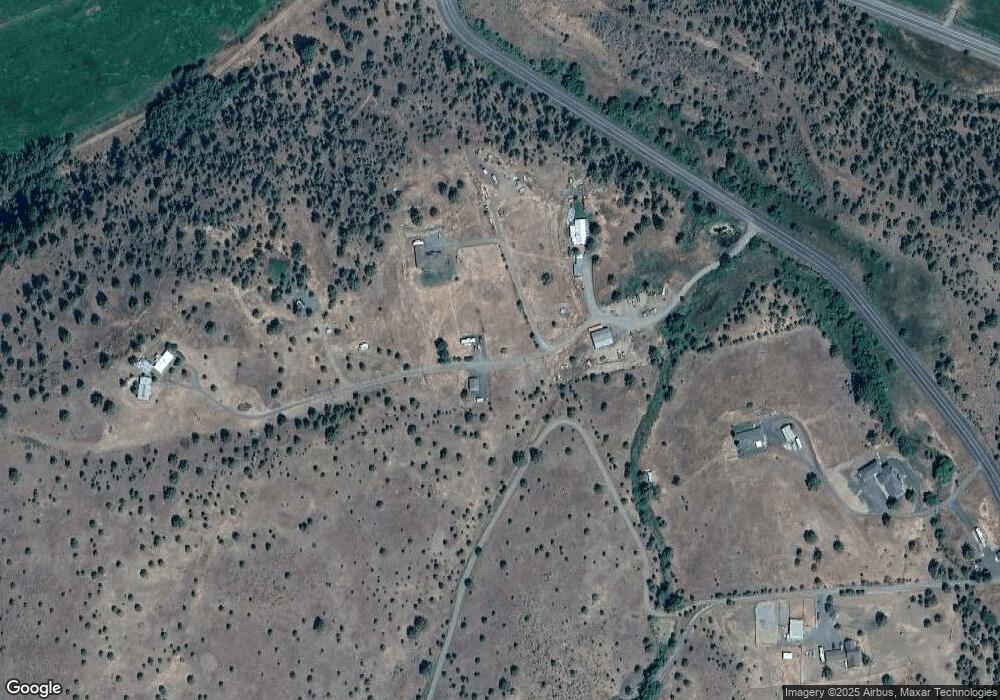
Map
Nearby Homes
- 0 N Fork 40 Unit 21
- 858 E Main St
- 748 E Main St
- 633 SE Hillcrest Rd
- 518 SE 2nd Ave
- 311 NE 7th Ave
- 100 SE Hillcrest Rd
- 60625 Three Point Rd
- 839 S Canyon Blvd
- 755 S Canyon Blvd
- 250 NE Dayton St
- 60408 Marysville Ln
- 0 Blue Gulch Rd
- 311 NE 7th St
- 234 S Canyon Blvd
- 234 S Canyon Blvd Unit 1190
- 173 N Canyon Blvd
- 410 NW Bridge St
- 242 NW 1st Ave
- 128 SW Canton St
- 61897 Dog Patch Ln
- 27528 Dog Creek Rd
- 62012 Dug Out Ln
- 62013 Dugout Ln
- 62042 Dug Out Ln
- 62013 Dug Out Ln
- 62091 Dug Out Ln
- 27432 Dog Creek Rd
- 0 Dog Creek Rd
- 26798 Rnr Rridge Rd
- 228 Elkview
- 59789 Hwy 26
- 0 Marysville Rd
- 0 County Road 52
- 0 Strawberry View Unit 11051608
- 61578 Marysville Ln
- 0 Marysville Ln Unit 208613352
- 0 Marysville Ln Unit 220201598
- 61468 Marysville Ln
- 61439 Marysville Ln
Your Personal Tour Guide
Ask me questions while you tour the home.