6193 Les Dorson Ln Alexandria, VA 22315
Estimated Value: $610,000 - $621,000
3
Beds
3
Baths
1,360
Sq Ft
$452/Sq Ft
Est. Value
About This Home
This home is located at 6193 Les Dorson Ln, Alexandria, VA 22315 and is currently estimated at $614,512, approximately $451 per square foot. 6193 Les Dorson Ln is a home located in Fairfax County with nearby schools including Lane Elementary School, Hayfield Secondary School, and Calvary Road Christian School & Preschool.
Ownership History
Date
Name
Owned For
Owner Type
Purchase Details
Closed on
Jan 23, 2001
Sold by
Miller
Bought by
Vango Lisa Renee
Current Estimated Value
Home Financials for this Owner
Home Financials are based on the most recent Mortgage that was taken out on this home.
Original Mortgage
$120,163
Outstanding Balance
$42,597
Interest Rate
7%
Estimated Equity
$571,915
Create a Home Valuation Report for This Property
The Home Valuation Report is an in-depth analysis detailing your home's value as well as a comparison with similar homes in the area
Home Values in the Area
Average Home Value in this Area
Purchase History
| Date | Buyer | Sale Price | Title Company |
|---|---|---|---|
| Vango Lisa Renee | $115,720 | -- | |
| Khera Ravi | $123,880 | -- |
Source: Public Records
Mortgage History
| Date | Status | Borrower | Loan Amount |
|---|---|---|---|
| Open | Khera Ravi | $120,163 |
Source: Public Records
Tax History Compared to Growth
Tax History
| Year | Tax Paid | Tax Assessment Tax Assessment Total Assessment is a certain percentage of the fair market value that is determined by local assessors to be the total taxable value of land and additions on the property. | Land | Improvement |
|---|---|---|---|---|
| 2025 | $6,317 | $572,410 | $224,000 | $348,410 |
| 2024 | $6,317 | $545,260 | $207,000 | $338,260 |
| 2023 | $6,018 | $533,260 | $195,000 | $338,260 |
| 2022 | $5,610 | $490,630 | $175,000 | $315,630 |
| 2021 | $5,368 | $457,400 | $145,000 | $312,400 |
| 2020 | $4,876 | $411,990 | $128,000 | $283,990 |
| 2019 | $4,876 | $411,990 | $128,000 | $283,990 |
| 2018 | $4,432 | $385,410 | $120,000 | $265,410 |
| 2017 | $4,194 | $361,280 | $120,000 | $241,280 |
| 2016 | $1,968 | $169,880 | $16,990 | $152,890 |
| 2015 | $1,893 | $169,640 | $16,960 | $152,680 |
| 2014 | $1,873 | $168,190 | $16,820 | $151,370 |
Source: Public Records
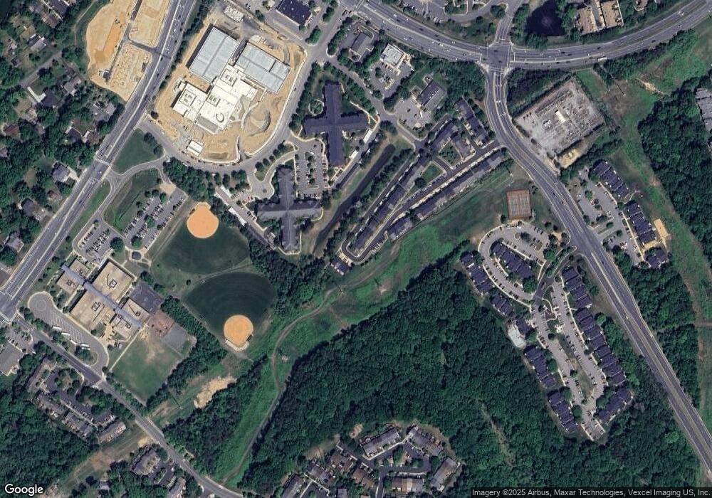
Map
Nearby Homes
- 6235 Folly Ln
- 6237 Folly Ln
- 6253 Folly Ln
- 7496 Gadsby Square
- 6998 Admetus Ct
- 7312 Gene St
- 6211 Glenshire Row
- 6022B Curtier Dr Unit B
- 7428 Heatherfield Ln
- 7010 Old Brentford Rd
- 6279 Alforth Ave
- 6152 Braeleigh Ln
- 6006F Curtier Dr Unit F
- 6111 Essex House Square Unit B
- 6923 Victoria Dr Unit K
- 7477 Collins Meade Way
- 6921 Victoria Dr Unit I
- 6905B Keyser Way
- 6223 Walkers Croft Way
- 6331 Steinway St
- 6191 Les Dorson Ln
- 6189 Les Dorson Ln
- 6187 Les Dorson Ln
- 6185 Les Dorson Ln
- 6198 Les Dorson Ln
- 6196 Les Dorson Ln
- 6200 Les Dorson Ln
- 6194 Les Dorson Ln
- 6183 Les Dorson Ln
- 6181 Les Dorson Ln
- 6179 Les Dorson Ln
- 6202 Les Dorson Ln
- 6175 Les Dorson Ln
- 6204 Les Dorson Ln
- 6173 Les Dorson Ln
- 6206 Les Dorson Ln
- 6171 Les Dorson Ln
- 6208 Les Dorson Ln
- 6169 Les Dorson Ln
- 6210 Les Dorson Ln