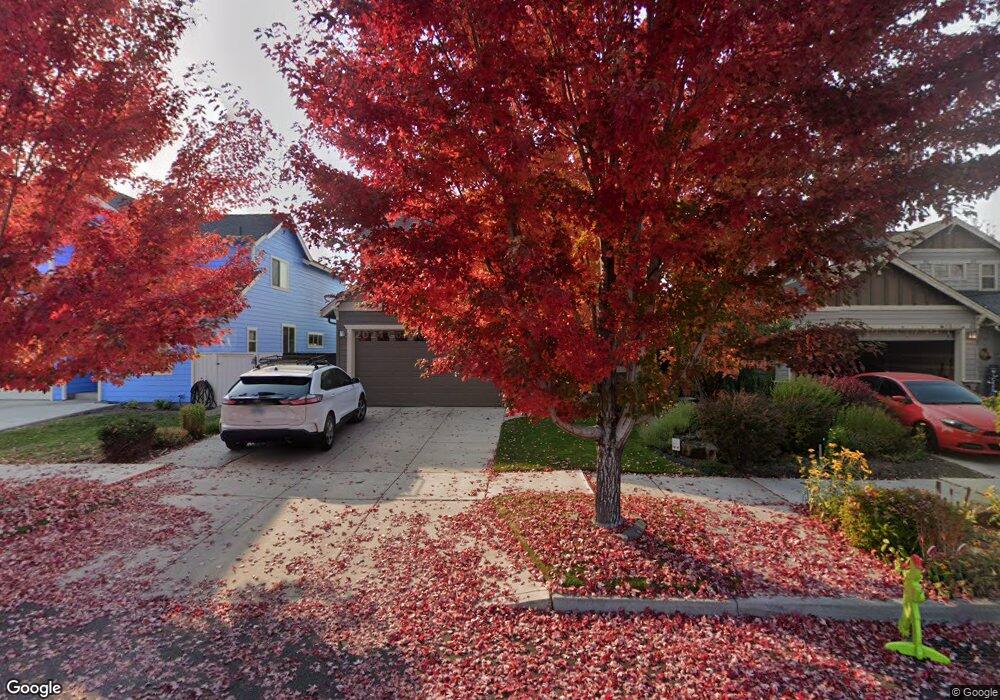
61937 SE Lorrin Place Bend, OR 97702
Larkspur NeighborhoodEstimated Value: $605,257 - $660,000
4
Beds
3
Baths
2,150
Sq Ft
$290/Sq Ft
Est. Value
About This Home
This home is located at 61937 SE Lorrin Place, Bend, OR 97702 and is currently estimated at $622,814, approximately $289 per square foot. 61937 SE Lorrin Place is a home located in Deschutes County with nearby schools including Bear Creek Elementary School, Pilot Butte Middle School, and Bend Senior High School.
Ownership History
Date
Name
Owned For
Owner Type
Purchase Details
Closed on
Mar 8, 2022
Sold by
Smith Robert L
Bought by
Bob And Janet Smith Joint Trust
Current Estimated Value
Purchase Details
Closed on
Dec 6, 2007
Sold by
Triad Homes Inc
Bought by
Smith Robert L and Smith Janet P
Home Financials for this Owner
Home Financials are based on the most recent Mortgage that was taken out on this home.
Original Mortgage
$337,900
Interest Rate
6.3%
Mortgage Type
Unknown
Create a Home Valuation Report for This Property
The Home Valuation Report is an in-depth analysis detailing your home's value as well as a comparison with similar homes in the area
Home Values in the Area
Average Home Value in this Area
Purchase History
We collect this data history from publicly available records. To have your information removed, we recommend requesting removal directly through your county’s website.
| Date | Buyer | Sale Price | Title Company |
|---|---|---|---|
| Bob And Janet Smith Joint Trust | $98,000 | None Listed On Document | |
| Smith Robert L | $337,900 | Deschutes County Title Co |
Source: Public Records
Mortgage History
We collect this data history from publicly available records. To have your information removed, we recommend requesting removal directly through your county’s website.
| Date | Status | Borrower | Loan Amount |
|---|---|---|---|
| Previous Owner | Smith Robert L | $337,900 |
Source: Public Records
Tax History
| Year | Tax Paid | Tax Assessment Tax Assessment Total Assessment is a certain percentage of the fair market value that is determined by local assessors to be the total taxable value of land and additions on the property. | Land | Improvement |
|---|---|---|---|---|
| 2025 | $4,375 | $258,940 | -- | -- |
| 2024 | $4,209 | $251,400 | -- | -- |
| 2023 | $3,902 | $244,080 | $0 | $0 |
| 2022 | $3,641 | $230,080 | $0 | $0 |
| 2021 | $3,646 | $223,380 | $0 | $0 |
| 2020 | $3,459 | $223,380 | $0 | $0 |
| 2019 | $3,363 | $216,880 | $0 | $0 |
| 2018 | $3,268 | $210,570 | $0 | $0 |
| 2017 | $3,172 | $204,440 | $0 | $0 |
| 2016 | $3,025 | $198,490 | $0 | $0 |
| 2015 | $2,941 | $192,710 | $0 | $0 |
| 2014 | $2,855 | $187,100 | $0 | $0 |
Source: Public Records
Map
Nearby Homes
- 61984 Pettigrew Rd
- 61969 SE 27th St
- 2241 SE Pilatus Ln
- 61839 Avonlea Cir
- 209 SE Soft Tail Dr
- 217 SE Soft Tail Dr
- 131 SE Airpark Dr
- 62062 Dean Swift Rd
- 62017 NE Nate's Place
- 21190 Darnel Ave
- 21315 Livingston Dr
- 21172 Clairaway Ave
- 21283 Dove Ln
- 2200 NE Highway 20 Unit 13
- 2200 NE Hwy 20 Unit 15
- 21499 Oconnor Way
- 21503 Oconnor Way
- 21489 Oconnor Way Unit 17
- 21501 Oconnor Way
- 21505 Oconnor Way
- 21124 Kayla Ct
- 21128 Kayla Ct
- 21120 SE Kayla Ct
- 21134 SE Kayla Ct
- 28 SE Kayla Ct
- 27 SE Kayla Ct
- 26 SE Kayla Ct
- 25 SE Kayla Ct
- 21 SE Kayla Ct
- 20 SE Kayla Ct
- 18 SE Kayla Ct
- 19 SE Kayla Ct
- 17 SE Kayla Ct
- 16 SE Kayla Ct
- 15 SE Kayla Ct
- 13 SE Kayla Ct
- 14 SE Kayla Ct
- 12 SE Kayla Ct
- 11 SE Kayla Ct
- 10 SE Kayla Ct
Your Personal Tour Guide
Ask me questions while you tour the home.