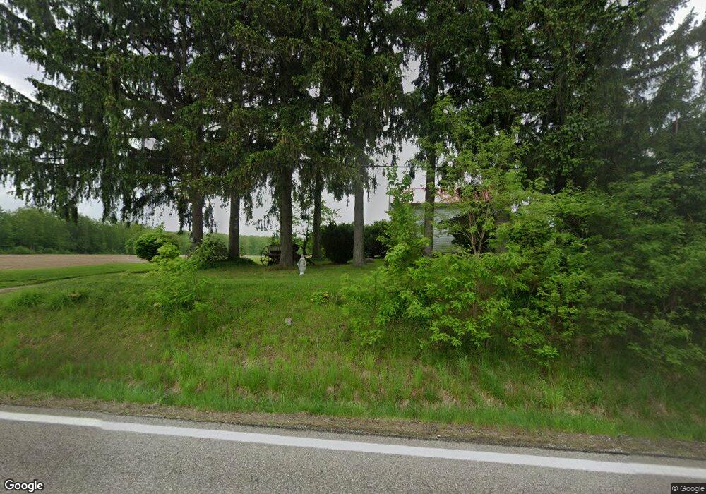
6194 State Route 193 Andover, OH 44003
Estimated Value: $477,000
3
Beds
1
Bath
1,542
Sq Ft
$309/Sq Ft
Est. Value
About This Home
This home is located at 6194 State Route 193, Andover, OH 44003 and is currently priced at $477,000, approximately $309 per square foot. 6194 State Route 193 is a home located in Ashtabula County with nearby schools including Pymatuning Valley Primary School, Pymatuning Valley Middle School, and Pymatuning Valley High School.
Ownership History
Date
Name
Owned For
Owner Type
Purchase Details
Closed on
Oct 16, 2020
Sold by
Gale Family Farm Llc
Bought by
Rodriguez Victor L and Rodriguez Marilyn K
Current Estimated Value
Purchase Details
Closed on
Jul 8, 2020
Sold by
Rodriguez Victor
Bought by
Gale Family Farm Llc
Purchase Details
Closed on
Jul 28, 2017
Sold by
Estate Of Peggy Rodriguez
Bought by
Rodriguez Wilfredo
Create a Home Valuation Report for This Property
The Home Valuation Report is an in-depth analysis detailing your home's value as well as a comparison with similar homes in the area
Home Values in the Area
Average Home Value in this Area
Purchase History
| Date | Buyer | Sale Price | Title Company |
|---|---|---|---|
| Rodriguez Victor L | $48,000 | Title Professionals Group Lt | |
| Gale Family Farm Llc | $550,000 | Stewart Title | |
| Rodriguez Wilfredo | -- | None Available |
Source: Public Records
Tax History Compared to Growth
Tax History
| Year | Tax Paid | Tax Assessment Tax Assessment Total Assessment is a certain percentage of the fair market value that is determined by local assessors to be the total taxable value of land and additions on the property. | Land | Improvement |
|---|---|---|---|---|
| 2024 | $2,926 | $206,010 | $206,010 | -- |
| 2023 | $2,199 | $206,010 | $206,010 | $0 |
| 2022 | $1,012 | $158,480 | $158,480 | $0 |
| 2021 | $1,025 | $158,480 | $158,480 | $0 |
| 2020 | $1,026 | $158,480 | $158,480 | $0 |
| 2019 | $1,328 | $52,990 | $34,650 | $18,340 |
| 2018 | $1,083 | $48,370 | $34,650 | $13,720 |
| 2017 | $1,070 | $48,370 | $34,650 | $13,720 |
| 2016 | $1,332 | $46,520 | $33,010 | $13,510 |
| 2015 | $1,339 | $46,520 | $33,010 | $13,510 |
| 2014 | $1,272 | $46,520 | $33,010 | $13,510 |
| 2013 | $1,073 | $37,810 | $21,180 | $16,630 |
Source: Public Records
Map
Nearby Homes
- 6435 State Route 193
- 2924 Linton Rd
- 7610 State Route 193
- 7724 Stanhope-Kelloggsville Rd
- 5372 Slater Rd
- 5427 Slater Rd
- 5422 Slater Rd
- 0 Gibbs Rd
- 5378 Owen Hill Rd
- 0 Chestnut St Unit 5136238
- 0 Gates St
- 284 S Main St
- 6738 State Route 7
- 143 Hickory St
- 185 Maple Ave
- 124 Hickory St
- 0 Maple Ave
- 0 Orchard St Unit LotWP001 23829432
- 0 Orchard St Unit 5130346
- 4974 N Main St
- 6065 State Route 193
- 5935 State Route 193
- 5915 State Route 193
- 5900 State Route 193
- 5881 State Route 193
- 3276 Dodgeville Rd
- 3256 Dodgeville Rd
- 3244 Dodgeville Rd
- 3202 Dodgeville Rd
- 3153 Dodgeville Rd
- 0 Mann Rd Unit 2477124
- 0 Mann Rd Unit 3077806
- 0 Mann Rd Unit 3404914
- 0 Mann Rd Unit 3404899
- 0 Mann Rd Unit 4310787
- 0 Mann Rd Unit 4057987
- 3111 Dodgeville Rd
- 6271 Hayes Rd
- 6630 State Route 193
- 2992 Dodgeville Rd