61947 Double Eagle Rd Coos Bay, OR 97420
Estimated Value: $619,000 - $722,152
3
Beds
3
Baths
2,496
Sq Ft
$269/Sq Ft
Est. Value
About This Home
This home is located at 61947 Double Eagle Rd, Coos Bay, OR 97420 and is currently estimated at $670,576, approximately $268 per square foot. 61947 Double Eagle Rd is a home located in Coos County with nearby schools including Eastside School, Millicoma School, and Marshfield Senior High School.
Ownership History
Date
Name
Owned For
Owner Type
Purchase Details
Closed on
Feb 28, 2008
Sold by
Green R Fred and Green Ruth M
Bought by
Wilson Jason and Wilson Brigetta
Current Estimated Value
Home Financials for this Owner
Home Financials are based on the most recent Mortgage that was taken out on this home.
Original Mortgage
$80,000
Interest Rate
5.64%
Mortgage Type
Seller Take Back
Purchase Details
Closed on
May 3, 2005
Sold by
Hw3 Llc
Bought by
Green R Fred and Green Ruth M
Home Financials for this Owner
Home Financials are based on the most recent Mortgage that was taken out on this home.
Original Mortgage
$55,000
Interest Rate
5.92%
Mortgage Type
Seller Take Back
Create a Home Valuation Report for This Property
The Home Valuation Report is an in-depth analysis detailing your home's value as well as a comparison with similar homes in the area
Home Values in the Area
Average Home Value in this Area
Purchase History
| Date | Buyer | Sale Price | Title Company |
|---|---|---|---|
| Wilson Jason | $150,000 | Ticor Title Insurance | |
| Green R Fred | $75,000 | Fidelity National Title Co |
Source: Public Records
Mortgage History
| Date | Status | Borrower | Loan Amount |
|---|---|---|---|
| Closed | Wilson Jason | $80,000 | |
| Previous Owner | Green R Fred | $55,000 |
Source: Public Records
Tax History Compared to Growth
Tax History
| Year | Tax Paid | Tax Assessment Tax Assessment Total Assessment is a certain percentage of the fair market value that is determined by local assessors to be the total taxable value of land and additions on the property. | Land | Improvement |
|---|---|---|---|---|
| 2024 | $5,043 | $432,320 | -- | -- |
| 2023 | $4,891 | $419,730 | $0 | $0 |
| 2022 | $4,842 | $407,510 | $0 | $0 |
| 2021 | $4,724 | $395,650 | $0 | $0 |
| 2020 | $4,601 | $395,650 | $0 | $0 |
| 2019 | $4,400 | $372,950 | $0 | $0 |
| 2018 | $4,270 | $362,090 | $0 | $0 |
| 2017 | $3,597 | $351,550 | $0 | $0 |
| 2016 | $3,412 | $341,320 | $0 | $0 |
| 2015 | $3,212 | $331,380 | $0 | $0 |
| 2014 | $3,294 | $321,730 | $0 | $0 |
Source: Public Records
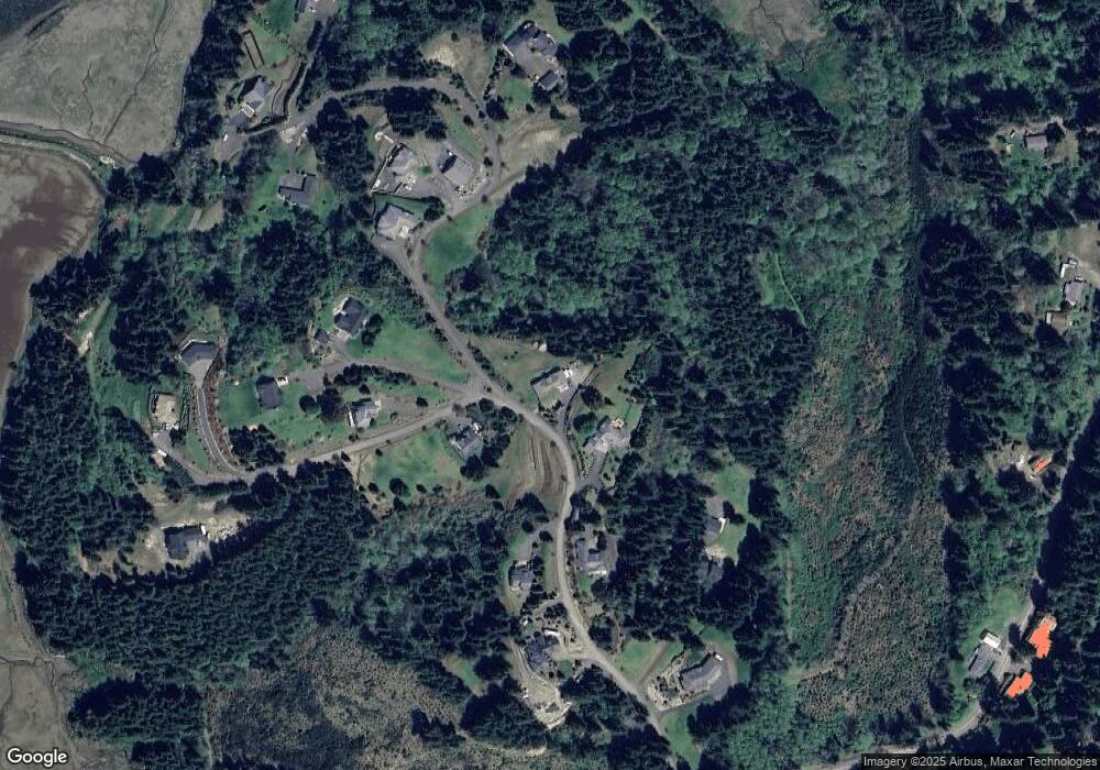
Map
Nearby Homes
- 0 Double Eagle Rd Unit 455433819
- 62039 Double Eagle Rd
- 0 Silver Rd
- 93751 Coos Sumner Ln
- 93789 Coos Sumner Ln
- 93706 Pickett Ln
- 0 Coos Sumner Ln
- 0 Pierson Rd Unit 24226487
- 0 Pierson Rd Unit 22498081
- 0 Pierson Rd Unit 22563256
- 0 Pierson Ln Unit 273316875
- 0 Pierson Ln Unit 526393848
- 0 Pierson Ln Unit 22227913
- 0 Bartleson Ln Unit 22666223
- 0 Bartleson Ln Unit 22134511
- 0 Bartleson Pierson
- 62152 Bartleson Rd
- 0 Bartelson Unit 22408776
- 0 Bartleson Rd Unit 22621342
- 0 Wrecking Rd
- 61935 Double Eagle Rd
- 0 Bogey Unit 12165333
- 0 Bogey Unit 13295887
- 0 Bogey Unit 15 16262758
- 93676 Links Ln
- 62006 Double Eagle Rd
- 61950 Double Eagle Rd
- 0 Double Eagle Rd Unit 24 24271419
- 0 Double Eagle Rd Unit 1907 23567441
- 0 Double Eagle Rd Unit 1909 21147982
- 0 Double Eagle Rd Unit 21503745
- 0 Double Eagle Rd Unit 1907 21102665
- 0 Double Eagle Rd Unit 20386249
- 0 Double Eagle Rd Unit 6 19240712
- 0 Double Eagle Rd Unit 52903514
- 0 Double Eagle Rd Unit 52903604
- 0 Double Eagle Rd Unit 2 9080636
- 0 Double Eagle Rd Unit 1 11441304
- 0 Double Eagle Rd Unit 2 11646596
- 0 Double Eagle Rd Unit 14668190