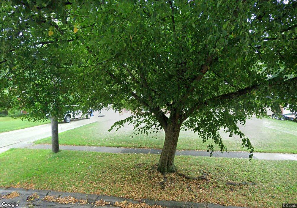
6195 Eavenson Rd Brookpark, OH 44142
Estimated Value: $252,000 - $262,655
3
Beds
2
Baths
1,864
Sq Ft
$137/Sq Ft
Est. Value
About This Home
This home is located at 6195 Eavenson Rd, Brookpark, OH 44142 and is currently estimated at $255,914, approximately $137 per square foot. 6195 Eavenson Rd is a home located in Cuyahoga County with nearby schools including Berea-Midpark Middle School, Berea-Midpark High School, and Huber Heights Preparatory Academy Parma Academy.
Ownership History
Date
Name
Owned For
Owner Type
Purchase Details
Closed on
Mar 3, 2001
Sold by
Costanzo Costantino
Bought by
Tahsler Vicki A
Current Estimated Value
Home Financials for this Owner
Home Financials are based on the most recent Mortgage that was taken out on this home.
Original Mortgage
$96,600
Interest Rate
6.95%
Purchase Details
Closed on
Apr 12, 1991
Sold by
Wozniak Paul W and Wozniak Martha J
Bought by
Costanzo Costantino
Purchase Details
Closed on
Jan 1, 1975
Bought by
Wozniak Paul W and Wozniak Martha J
Create a Home Valuation Report for This Property
The Home Valuation Report is an in-depth analysis detailing your home's value as well as a comparison with similar homes in the area
Home Values in the Area
Average Home Value in this Area
Purchase History
| Date | Buyer | Sale Price | Title Company |
|---|---|---|---|
| Tahsler Vicki A | $138,000 | -- | |
| Costanzo Costantino | $94,000 | -- | |
| Wozniak Paul W | -- | -- |
Source: Public Records
Mortgage History
| Date | Status | Borrower | Loan Amount |
|---|---|---|---|
| Previous Owner | Tahsler Vicki A | $96,600 |
Source: Public Records
Tax History Compared to Growth
Tax History
| Year | Tax Paid | Tax Assessment Tax Assessment Total Assessment is a certain percentage of the fair market value that is determined by local assessors to be the total taxable value of land and additions on the property. | Land | Improvement |
|---|---|---|---|---|
| 2024 | $3,390 | $67,200 | $17,815 | $49,385 |
| 2023 | $3,827 | $62,830 | $15,400 | $47,430 |
| 2022 | $3,800 | $62,830 | $15,400 | $47,430 |
| 2021 | $3,778 | $62,830 | $15,400 | $47,430 |
| 2020 | $3,405 | $49,840 | $12,220 | $37,630 |
| 2019 | $3,304 | $142,400 | $34,900 | $107,500 |
| 2018 | $3,290 | $49,840 | $12,220 | $37,630 |
| 2017 | $3,069 | $42,950 | $10,570 | $32,380 |
| 2016 | $3,044 | $42,950 | $10,570 | $32,380 |
| 2015 | $3,007 | $42,950 | $10,570 | $32,380 |
| 2014 | $3,007 | $45,220 | $11,130 | $34,090 |
Source: Public Records
Map
Nearby Homes
- 5966 Engle Rd
- 6054 Langer Dr
- 6366 Sandhurst Dr
- 6401 Scott Dr
- 6409 Scott Dr
- 6465 Claudia Dr
- 6421 Sylvia Dr
- 16310 Richard Dr
- 16051 Holland Rd
- 6728 Benedict Dr
- 6740 Benedict Dr
- 6755 Benedict Dr
- 15800 Holland Rd
- 6748 Benedict Dr
- 6720 Benedict Dr
- 6744 Benedict Dr
- 6724 Benedict Dr
- 6470 Sandfield Dr
- 6363 Lockhaven Dr
- 6378 Edgehurst Dr
- 6205 Eavenson Rd
- 6183 Eavenson Rd
- 6173 Eavenson Rd
- 6219 Eavenson Rd
- 17861 Engle Ct
- 6163 Eavenson Rd
- 6196 Eavenson Rd
- 6184 Eavenson Rd
- 6208 Eavenson Rd
- 17841 Engle Ct
- 17850 Engle Ct
- 6159 Eavenson Rd
- 6231 Eavenson Rd
- 6172 Eavenson Rd
- 6180 Engle Rd
- 6220 Eavenson Rd
- 17831 Engle Ct
- 17840 Engle Ct
- 6162 Eavenson Rd
- 6153 Eavenson Rd
