6195 Joshua Peak Ave Las Vegas, NV 89141
Southern Highlands NeighborhoodEstimated Value: $699,000 - $763,000
3
Beds
3
Baths
2,309
Sq Ft
$312/Sq Ft
Est. Value
About This Home
This home is located at 6195 Joshua Peak Ave, Las Vegas, NV 89141 and is currently estimated at $721,109, approximately $312 per square foot. 6195 Joshua Peak Ave is a home with nearby schools including Charles & Phyllis Frias Elementary School, Lois & Jerry Tarkanian Middle School, and Desert Oasis High School.
Ownership History
Date
Name
Owned For
Owner Type
Purchase Details
Closed on
Jul 8, 2022
Sold by
Andrews and Barbara
Bought by
Andrews Family Trust
Current Estimated Value
Purchase Details
Closed on
Apr 30, 2018
Sold by
Richamond American Homes Of Nevada Inc
Bought by
Andrews Dale and Andrews Barbara
Home Financials for this Owner
Home Financials are based on the most recent Mortgage that was taken out on this home.
Original Mortgage
$200,000
Interest Rate
4.44%
Mortgage Type
New Conventional
Create a Home Valuation Report for This Property
The Home Valuation Report is an in-depth analysis detailing your home's value as well as a comparison with similar homes in the area
Home Values in the Area
Average Home Value in this Area
Purchase History
| Date | Buyer | Sale Price | Title Company |
|---|---|---|---|
| Andrews Family Trust | -- | None Listed On Document | |
| Andrews Dale | $436,408 | Ticor Title Las Vegas |
Source: Public Records
Mortgage History
| Date | Status | Borrower | Loan Amount |
|---|---|---|---|
| Previous Owner | Andrews Dale | $200,000 |
Source: Public Records
Tax History Compared to Growth
Tax History
| Year | Tax Paid | Tax Assessment Tax Assessment Total Assessment is a certain percentage of the fair market value that is determined by local assessors to be the total taxable value of land and additions on the property. | Land | Improvement |
|---|---|---|---|---|
| 2025 | $5,349 | $220,392 | $52,500 | $167,892 |
| 2024 | $5,194 | $220,392 | $52,500 | $167,892 |
| 2023 | $5,194 | $203,508 | $47,250 | $156,258 |
| 2022 | $5,042 | $184,508 | $42,000 | $142,508 |
| 2021 | $4,896 | $171,323 | $36,750 | $134,573 |
| 2020 | $4,750 | $172,745 | $40,425 | $132,320 |
| 2019 | $4,098 | $152,224 | $40,163 | $112,061 |
| 2018 | $825 | $28,350 | $28,350 | $0 |
| 2017 | $0 | $21,840 | $21,840 | $0 |
Source: Public Records
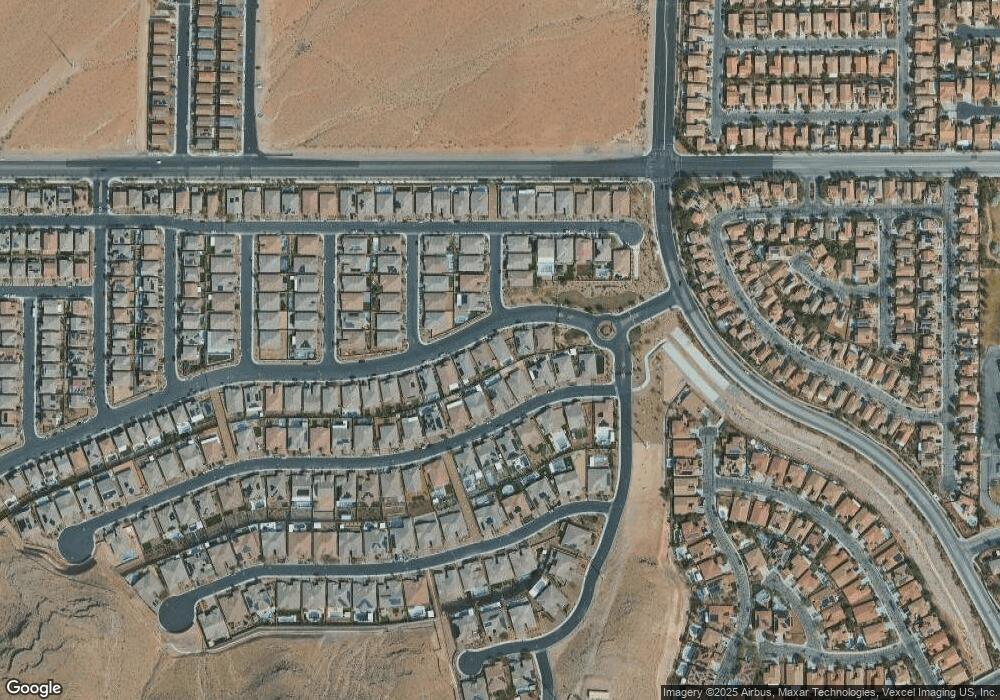
Map
Nearby Homes
- 6160 Lautman Ridge Ct
- 6248 Carol Butte Ct
- 6315 Carol Butte Ct
- 5914 Attavilla Dr
- 11032 Brandan Alps St
- 5914 Tinazzi Way
- 5954 Varese Dr
- 11218 Dolcetto Dr
- 6442 Kobe Knoll Ct
- 5832 Ivy Vine Ct
- 6134 W Levi Ave
- 6034 Genovese Ave
- 5966 Candia Ct
- 5823 Lazy Days Ct
- 10754 Balmoral St
- 6255 Dollar Bill Ct
- 6279 Dollar Bill Ct
- 6476 Little Harbor Ct
- 6496 Cape Canyon Ct
- 5909 Candia Ct
- 6203 Joshua Peak Ave
- 6187 Joshua Peak Ave
- 6184 Lautman Ridge Ct
- 6211 Joshua Peak Ave
- 6179 Joshua Peak Ave
- 6176 Lautman Ridge Ct
- 10979 Penny Slope St
- 6200 Lautman Ridge Ct
- 6219 Joshua Peak Ave
- 6168 Lautman Ridge Ct
- 10988 Tanner Crest St
- 10970 Penny Slope St
- 10971 Penny Slope St
- 10980 Tanner Crest St
- 6208 Lautman Ridge Ct
- 6227 Joshua Peak Ave
- 10962 Penny Slope St
- 10963 Penny Slope St
- 4885 Ava Ridge Ave
- 10972 Tanner Crest St