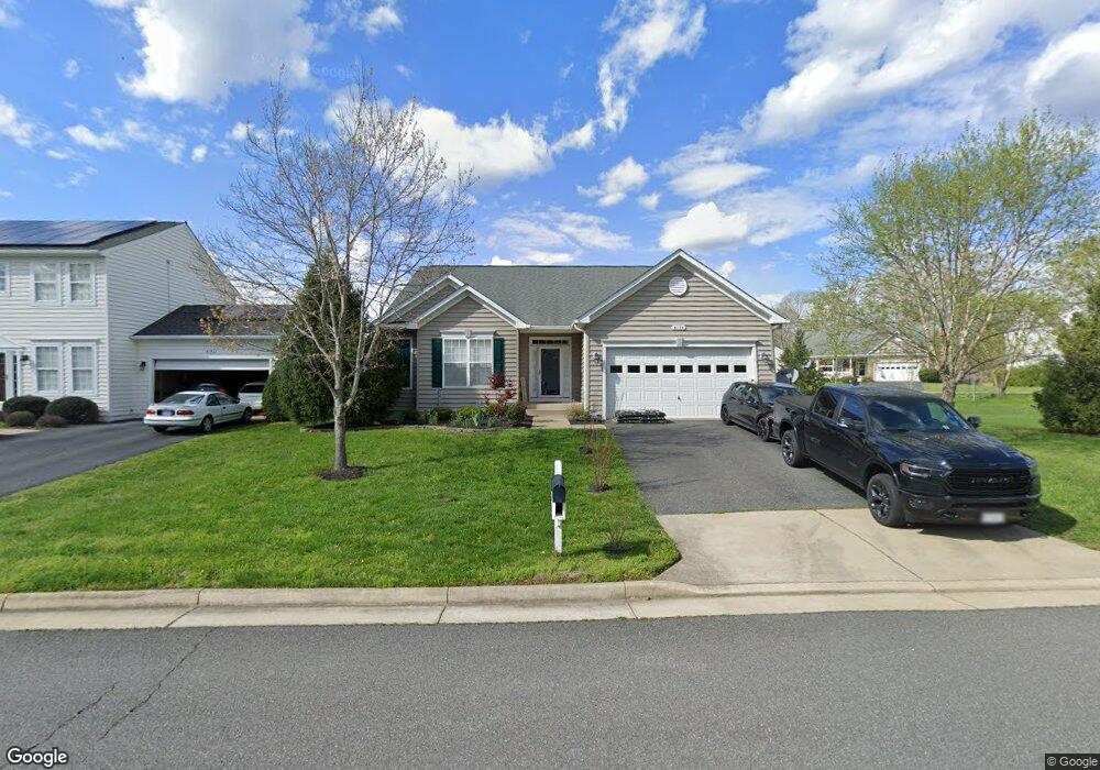
6195 Mccarthy Dr King George, VA 22485
Estimated Value: $437,000 - $447,437
3
Beds
2
Baths
1,916
Sq Ft
$230/Sq Ft
Est. Value
About This Home
This home is located at 6195 Mccarthy Dr, King George, VA 22485 and is currently estimated at $441,479, approximately $230 per square foot. 6195 Mccarthy Dr is a home located in King George County with nearby schools including Sealston Elementary School, King George Middle School, and King George High School.
Ownership History
Date
Name
Owned For
Owner Type
Purchase Details
Closed on
Nov 19, 2010
Sold by
Hazel Homes Llc
Bought by
Carter Preston
Current Estimated Value
Home Financials for this Owner
Home Financials are based on the most recent Mortgage that was taken out on this home.
Original Mortgage
$253,700
Outstanding Balance
$167,643
Interest Rate
4.3%
Mortgage Type
VA
Estimated Equity
$273,836
Create a Home Valuation Report for This Property
The Home Valuation Report is an in-depth analysis detailing your home's value as well as a comparison with similar homes in the area
Purchase History
| Date | Buyer | Sale Price | Title Company |
|---|---|---|---|
| Carter Preston | $248,391 | -- |
Source: Public Records
Mortgage History
| Date | Status | Borrower | Loan Amount |
|---|---|---|---|
| Open | Carter Preston | $253,700 |
Source: Public Records
Tax History
| Year | Tax Paid | Tax Assessment Tax Assessment Total Assessment is a certain percentage of the fair market value that is determined by local assessors to be the total taxable value of land and additions on the property. | Land | Improvement |
|---|---|---|---|---|
| 2025 | $2,714 | $399,100 | $85,000 | $314,100 |
| 2024 | $2,714 | $399,100 | $85,000 | $314,100 |
| 2023 | $2,714 | $399,100 | $85,000 | $314,100 |
| 2022 | $2,554 | $399,100 | $85,000 | $314,100 |
| 2021 | $2,008 | $275,100 | $56,000 | $219,100 |
| 2020 | $1,926 | $275,100 | $56,000 | $219,100 |
| 2019 | $1,926 | $275,100 | $56,000 | $219,100 |
| 2018 | $1,926 | $275,100 | $56,000 | $219,100 |
| 2017 | $1,791 | $255,800 | $56,000 | $199,800 |
| 2016 | $1,739 | $255,800 | $56,000 | $199,800 |
| 2015 | -- | $255,800 | $56,000 | $199,800 |
| 2014 | -- | $255,800 | $56,000 | $199,800 |
Source: Public Records
Map
Nearby Homes
- 6171 Mccarthy Dr
- 6149 Hawser Dr
- 6306 Bobcat Ln
- 6371 Pointer Ln
- 6420 Hawkeye Dr
- 6427 Hawkeye Dr
- 7069 Wise Ln
- 1548 Black Marsh Dr
- 240 Rua Joao Borges
- 11002 Lambs Creek Church Rd
- LOT 4 Jefferson Dr
- Lot 64 Eisenhower Dr
- 6615 Stanley Rd
- 7012 Stanley Rd
- 7504 Cleveland Dr
- 10437 Blair House Cir
- 10468 Johnson Dr
- 10397 Johnson Dr
- 8339 Kennedy Dr
- 0 Lot F Igo Rd Unit VAKG2007410
- 6191 Mccarthy Dr
- 6204 Hawser Dr
- 6194 Mccarthy Dr
- 6183 Mccarthy Dr
- 6190 Mccarthy Dr
- 6186 Mccarthy Dr
- 6205 Hawser Dr
- 6204 Mccarthy Dr
- 6200 Hawser Dr
- 6214 Hawser Dr
- 6179 Mccarthy Dr
- 6182 Mccarthy Dr
- 6209 Hawser Dr
- 6201 Hawser Dr
- 6196 Hawser Dr
- 6178 Mccarthy Dr
- 6213 Hawser Dr
- 6218 Hawser Dr
- 6175 Mccarthy Dr
- 6197 Hawser Dr
Your Personal Tour Guide
Ask me questions while you tour the home.