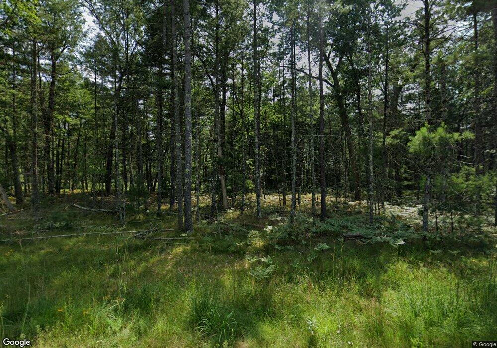
6197 W 60th St Baldwin, MI 49304
Estimated Value: $249,549 - $370,000
3
Beds
1
Bath
1,600
Sq Ft
$204/Sq Ft
Est. Value
About This Home
This home is located at 6197 W 60th St, Baldwin, MI 49304 and is currently estimated at $325,637, approximately $203 per square foot. 6197 W 60th St is a home located in Lake County with nearby schools including Scottville Elementary School, Mason County Central Upper Elementary School, and Mason County Central Middle School.
Ownership History
Date
Name
Owned For
Owner Type
Purchase Details
Closed on
Feb 24, 2012
Sold by
Groves Robert and Groves Tracy L
Bought by
Groves Rovert and Chase Tracy L
Current Estimated Value
Purchase Details
Closed on
May 16, 2011
Sold by
Bac Home Loans Servicing Lp
Bought by
Federal National Mortgage Association
Purchase Details
Closed on
Mar 3, 2011
Sold by
West Gavin J
Bought by
Bac Home Loans Servicing Lp
Purchase Details
Closed on
Nov 4, 1999
Bought by
Yoder Gary L and Yoder Valerie L
Purchase Details
Closed on
Jun 19, 1992
Purchase Details
Closed on
Jun 8, 1989
Purchase Details
Closed on
Mar 26, 1984
Sold by
Gotschall Norman
Bought by
Saurman Scott Amm
Create a Home Valuation Report for This Property
The Home Valuation Report is an in-depth analysis detailing your home's value as well as a comparison with similar homes in the area
Home Values in the Area
Average Home Value in this Area
Purchase History
| Date | Buyer | Sale Price | Title Company |
|---|---|---|---|
| Groves Rovert | -- | -- | |
| Federal National Mortgage Association | -- | -- | |
| Bac Home Loans Servicing Lp | $116,100 | -- | |
| Yoder Gary L | $209,000 | -- | |
| -- | $70,500 | -- | |
| -- | -- | -- | |
| Saurman Scott Amm | -- | -- |
Source: Public Records
Tax History Compared to Growth
Tax History
| Year | Tax Paid | Tax Assessment Tax Assessment Total Assessment is a certain percentage of the fair market value that is determined by local assessors to be the total taxable value of land and additions on the property. | Land | Improvement |
|---|---|---|---|---|
| 2025 | $4,156 | $133,000 | $0 | $0 |
| 2024 | $3,967 | $129,900 | $0 | $0 |
| 2022 | $3,779 | $100,800 | $0 | $0 |
| 2021 | $3,600 | $89,800 | $0 | $0 |
| 2020 | $3,582 | $83,600 | $0 | $0 |
| 2019 | $3,562 | $85,300 | $0 | $0 |
| 2014 | -- | $67,800 | $0 | $0 |
Source: Public Records
Map
Nearby Homes
- 9467 S Easy Ln Unit 18
- 9325 S Lazy Ln Unit 33
- 9909 S Paradise Cir
- 7816 W Windsong Ave
- 6378 S Mack Rd
- 9177 S Lost Pine Ave
- 16987 S Star Lake Dr
- 10022 S Rebecca Rd
- 8298 W Hollyhock Ave
- 8287 W Hollyhock Ave
- 8207 W Columbine Ave
- 16657 S Star Lake Dr
- 10273 Basford Lake Dr
- 8727 S Hayes Rd
- 5594 S Peacock Trail
- 8597 W Burdock Ave
- 10296 S Lakeside Ridge Rd
- 7749 S Evergreen Rd
- 8223 W Cypress Ave
- 8833 W Velt Ave
- 6205 W 60th St
- 6191 W 60th St
- 6231 W 60th St
- 6205 60th St
- 0 S Brooks Rd
- 2 S Brooks Rd
- 4 S Brooks Rd
- 1 S Brooks Rd
- 3 S Brooks Rd
- 6191 60th St
- 7671 S Brooks Rd
- 7671 S Brooks Rd
- 7637 S Brooks Rd
- 7775 S Brooks Rd
- 6175 60th St
- 0 60th St
- 7719 S Merlo Trail
- 8153 S Buttercup Ave
- 6679 W 60th St
- 5877 W 52nd St
