6198 Table Rock Rd Central Point, OR 97502
Estimated Value: $454,523 - $580,000
3
Beds
2
Baths
2,206
Sq Ft
$229/Sq Ft
Est. Value
About This Home
This home is located at 6198 Table Rock Rd, Central Point, OR 97502 and is currently estimated at $505,841, approximately $229 per square foot. 6198 Table Rock Rd is a home located in Jackson County with nearby schools including Sams Valley Elementary School, Scenic Middle School, and Crater High School.
Ownership History
Date
Name
Owned For
Owner Type
Purchase Details
Closed on
Aug 28, 2020
Sold by
Henney Norman E
Bought by
Henney Norman E and Henney Living Trust
Current Estimated Value
Purchase Details
Closed on
Nov 30, 1998
Sold by
Griffitts Ebron and Griffitts Edna
Bought by
Henney Norman E and Henney Debra J
Home Financials for this Owner
Home Financials are based on the most recent Mortgage that was taken out on this home.
Original Mortgage
$32,000
Interest Rate
6.69%
Mortgage Type
Seller Take Back
Create a Home Valuation Report for This Property
The Home Valuation Report is an in-depth analysis detailing your home's value as well as a comparison with similar homes in the area
Purchase History
| Date | Buyer | Sale Price | Title Company |
|---|---|---|---|
| Henney Norman E | -- | None Available | |
| Henney Norman E | $100,000 | Key Title Company |
Source: Public Records
Mortgage History
| Date | Status | Borrower | Loan Amount |
|---|---|---|---|
| Closed | Henney Norman E | $32,000 |
Source: Public Records
Tax History
| Year | Tax Paid | Tax Assessment Tax Assessment Total Assessment is a certain percentage of the fair market value that is determined by local assessors to be the total taxable value of land and additions on the property. | Land | Improvement |
|---|---|---|---|---|
| 2026 | $2,986 | $244,550 | -- | -- |
| 2025 | $2,917 | $237,430 | $119,510 | $117,920 |
| 2024 | $2,917 | $230,520 | $74,130 | $156,390 |
| 2023 | $2,820 | $223,810 | $71,970 | $151,840 |
| 2022 | $2,760 | $223,810 | $71,970 | $151,840 |
| 2021 | $2,682 | $217,300 | $69,870 | $147,430 |
| 2020 | $2,604 | $210,980 | $67,830 | $143,150 |
| 2019 | $2,544 | $198,880 | $63,930 | $134,950 |
| 2018 | $2,465 | $193,090 | $62,070 | $131,020 |
| 2017 | $2,406 | $193,090 | $62,070 | $131,020 |
| 2016 | $2,336 | $182,010 | $58,510 | $123,500 |
| 2015 | $2,228 | $182,010 | $58,510 | $123,500 |
| 2014 | $2,174 | $171,570 | $55,160 | $116,410 |
Source: Public Records
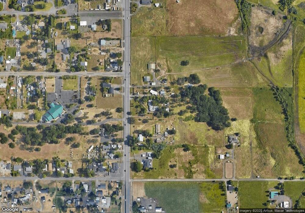
Map
Nearby Homes
- 380 W Gregory Rd Unit 1
- 594 W Gregory Rd
- 225 Wilson Rd
- 549 Wilson Rd
- 6850 Downing Rd Unit 11
- 6850 Downing Rd Unit SPC 31
- 6850 Downing Rd Unit 7
- 6850 Downing Rd Unit 25
- 6850 Downing Rd Unit 65
- 1729 E Gregory Rd
- 2460 Jeremy St
- 1617 Tennessee Ln
- 1653 Kentucky Ct
- 2335 New Haven Dr
- 2311 Lara Ln
- 875 N Mountain Ave
- 4824 Airway Dr Unit 371W06BB410
- 4676 Industry Dr
- 1153 Annalise St
- 4595 Table Rock Rd
- 6240 Table Rock Rd
- 6134 Table Rock Rd
- 6205 Table Rock Rd
- 31 Gibbon Rd
- 6117 Table Rock Rd
- 6253 Table Rock Rd
- 6121 Table Rock Rd
- 6090 Table Rock Rd
- 6119 Table Rock Rd
- 6103 Table Rock Rd
- 6283 Table Rock Rd
- 61 Gibbon Rd
- 42 Gibbon Rd
- 6079 Table Rock Rd
- 46 Orr Dr
- 80 Gibbon Rd
- 6303 Table Rock Rd
- 6070 Table Rock Rd
- 64 Orr Dr
- 6035 Table Rock Rd
Your Personal Tour Guide
Ask me questions while you tour the home.