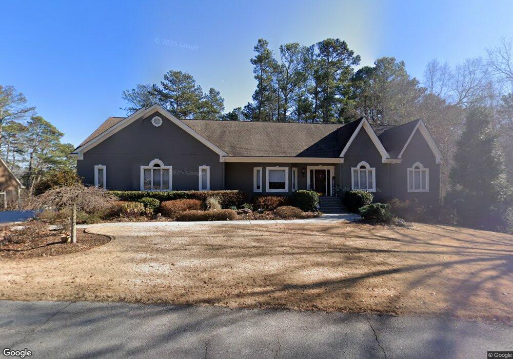
6199 Woodlake Dr Buford, GA 30518
Estimated Value: $991,269 - $1,647,000
3
Beds
3
Baths
2,748
Sq Ft
$451/Sq Ft
Est. Value
About This Home
This home is located at 6199 Woodlake Dr, Buford, GA 30518 and is currently estimated at $1,238,317, approximately $450 per square foot. 6199 Woodlake Dr is a home located in Gwinnett County with nearby schools including White Oak Elementary School, Lanier Middle School, and Lanier High School.
Ownership History
Date
Name
Owned For
Owner Type
Purchase Details
Closed on
Dec 27, 2012
Sold by
Hannon Miles H
Bought by
Burns Greg and Burns Gretchen
Current Estimated Value
Home Financials for this Owner
Home Financials are based on the most recent Mortgage that was taken out on this home.
Original Mortgage
$400,000
Outstanding Balance
$276,015
Interest Rate
3.36%
Mortgage Type
New Conventional
Estimated Equity
$962,302
Purchase Details
Closed on
Nov 1, 1996
Sold by
Hodges Susan K
Bought by
Hannon Miles H Jeanette
Create a Home Valuation Report for This Property
The Home Valuation Report is an in-depth analysis detailing your home's value as well as a comparison with similar homes in the area
Home Values in the Area
Average Home Value in this Area
Purchase History
| Date | Buyer | Sale Price | Title Company |
|---|---|---|---|
| Burns Greg | $400,000 | -- | |
| Hannon Miles H Jeanette | $300,000 | -- |
Source: Public Records
Mortgage History
| Date | Status | Borrower | Loan Amount |
|---|---|---|---|
| Open | Burns Greg | $400,000 |
Source: Public Records
Tax History Compared to Growth
Tax History
| Year | Tax Paid | Tax Assessment Tax Assessment Total Assessment is a certain percentage of the fair market value that is determined by local assessors to be the total taxable value of land and additions on the property. | Land | Improvement |
|---|---|---|---|---|
| 2025 | $13,027 | $513,000 | $95,000 | $418,000 |
| 2024 | $12,037 | $448,280 | $85,520 | $362,760 |
| 2023 | $12,037 | $448,280 | $85,520 | $362,760 |
| 2022 | $12,032 | $448,280 | $85,520 | $362,760 |
| 2021 | $8,284 | $258,920 | $76,000 | $182,920 |
| 2020 | $8,304 | $258,920 | $76,000 | $182,920 |
| 2019 | $8,073 | $258,920 | $76,000 | $182,920 |
| 2018 | $6,661 | $192,760 | $76,000 | $116,760 |
| 2016 | $6,614 | $189,760 | $76,000 | $113,760 |
| 2015 | $6,691 | $189,760 | $76,000 | $113,760 |
| 2014 | -- | $174,960 | $61,280 | $113,680 |
Source: Public Records
Map
Nearby Homes
- 6219 Woodlake Dr
- 6255 Lakeview Dr
- 2075 Pine Tree Dr Unit B2
- 2075 Pine Tree Dr Unit A3
- 6381 Lakeview Dr
- 2015 Buford Dam Rd
- 5984 Dolvin Ln
- 1930 Marina Way
- 2030 Buford Dam Rd
- 6477 Old Shadburn Ferry Rd
- 6205 Ambercrest Ct
- 6708 Bass Cir
- 5820 Elm Tree Dr Unit 1
- 5871 Dolvin Ln
- 5995 Lake Windsor Pkwy Unit 1
- 6265 Lake Windsor Pkwy
- 2416 Sterling Manor Dr
- 1729 Rowland Pass
- 5774 Harbor Dr
- 1983 Anchor Way Unit 1
- 0000 Woodlake Dr
- 00 Woodlake Dr
- 6189 Woodlake Dr
- 6211 Woodlake Dr
- 6212 Woodlake Dr
- 0 Woodlake Dr Unit 7273163
- 0 Woodlake Dr Unit 7372124
- 6218 Woodlake Dr
- 6227 Woodlake Dr
- 2090 Poplar Ln
- 2074 Poplar Ln
- 6228 Woodlake Dr
- 6150 Woodlake Dr
- 6235 Woodlake Dr
- 6158 Willow Rd
- 6140 Woodlake Dr
- 0 Poplar Ln Unit LOT16 20108959
- N/A Poplar Ln Unit LOT16
- N/A Poplar Ln