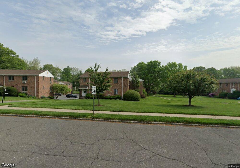
61D Troy Dr Unit 8 Springfield, NJ 07081
Estimated Value: $369,000 - $408,000
--
Bed
--
Bath
960
Sq Ft
$403/Sq Ft
Est. Value
About This Home
This home is located at 61D Troy Dr Unit 8, Springfield, NJ 07081 and is currently estimated at $387,120, approximately $403 per square foot. 61D Troy Dr Unit 8 is a home located in Union County with nearby schools including Jonathan Dayton High School and St James The Apostle School.
Ownership History
Date
Name
Owned For
Owner Type
Purchase Details
Closed on
Sep 6, 2018
Sold by
Grieco Janice
Bought by
Mendoza Juan C
Current Estimated Value
Home Financials for this Owner
Home Financials are based on the most recent Mortgage that was taken out on this home.
Original Mortgage
$200,000
Outstanding Balance
$174,053
Interest Rate
4.5%
Mortgage Type
New Conventional
Estimated Equity
$213,067
Purchase Details
Closed on
Jul 30, 2010
Sold by
Lois Mark and Lois Nicole
Bought by
Enayati Linda
Home Financials for this Owner
Home Financials are based on the most recent Mortgage that was taken out on this home.
Original Mortgage
$200,000
Interest Rate
3.87%
Mortgage Type
New Conventional
Purchase Details
Closed on
Sep 21, 2005
Sold by
Guissarri Anthony
Bought by
Lois Mark and Kostka Nicole
Home Financials for this Owner
Home Financials are based on the most recent Mortgage that was taken out on this home.
Original Mortgage
$236,000
Interest Rate
5.72%
Create a Home Valuation Report for This Property
The Home Valuation Report is an in-depth analysis detailing your home's value as well as a comparison with similar homes in the area
Home Values in the Area
Average Home Value in this Area
Purchase History
| Date | Buyer | Sale Price | Title Company |
|---|---|---|---|
| Mendoza Juan C | $255,000 | Fidelity Natl Title Ins Co | |
| Enayati Linda | $250,000 | None Available | |
| Lois Mark | $295,000 | -- |
Source: Public Records
Mortgage History
| Date | Status | Borrower | Loan Amount |
|---|---|---|---|
| Open | Mendoza Juan C | $200,000 | |
| Previous Owner | Enayati Linda | $200,000 | |
| Previous Owner | Lois Mark | $236,000 |
Source: Public Records
Tax History Compared to Growth
Tax History
| Year | Tax Paid | Tax Assessment Tax Assessment Total Assessment is a certain percentage of the fair market value that is determined by local assessors to be the total taxable value of land and additions on the property. | Land | Improvement |
|---|---|---|---|---|
| 2025 | $6,322 | $266,200 | $125,000 | $141,200 |
| 2024 | $6,218 | $266,200 | $125,000 | $141,200 |
| 2023 | $6,218 | $266,200 | $125,000 | $141,200 |
| 2022 | $5,774 | $266,200 | $125,000 | $141,200 |
| 2021 | $5,941 | $79,800 | $35,000 | $44,800 |
| 2020 | $5,849 | $79,800 | $35,000 | $44,800 |
| 2019 | $5,770 | $79,800 | $35,000 | $44,800 |
| 2018 | $5,666 | $79,800 | $35,000 | $44,800 |
| 2017 | $5,510 | $79,800 | $35,000 | $44,800 |
| 2016 | $5,403 | $79,800 | $35,000 | $44,800 |
| 2015 | $5,340 | $79,800 | $35,000 | $44,800 |
| 2014 | -- | $79,800 | $35,000 | $44,800 |
Source: Public Records
Map
Nearby Homes
- 85B Troy Dr Unit 11
- 5B Troy Dr Unit 1
- 36 Woodcrest Cir
- 5D Stone Hill Rd Unit 27
- 88D Troy Dr Unit 16
- 4 Meadowbrook Rd
- 7 Canterbury Ln
- 41A Middle Ave
- 247 Baltusrol Way
- 445 Morris Ave Unit 7
- 71 Broad St
- 16 Edison Dr
- 72 Meadowbrook Rd
- 159 Tooker Ave
- 7 Clark St
- 30 Glenwood Dr
- 39 Huntley Rd
- 68 Colfax Rd
- 285 Taylor Rd S
- 117 Warwick Cir
- 61 Troy Dr Unit D
- 61 Troy Dr Unit A
- 61 Troy Dr
- 61 Troy Dr Unit B
- 73-D Troy Dr Bldg 9 Unit 73-D
- 59 Troy Dr Unit 8
- 61 A Troy
- 63A Troy Dr Unit 8
- 63 Troy Dr
- 63 Troy Dr Unit 63A
- 69D Troy Dr Unit 9
- 69 Troy Dr Unit A
- 65C Troy Dr Unit 9
- 65D Troy Dr Unit 9
- 65B Troy Dr Unit 9
- 65A Troy Dr Unit 9
- 65D Troy Dr Unit 65-A
- 65 Troy Dr Unit A
- 65 Troy Dr Unit 65C
- 69-B Troy Dr Bldg 9 Unit 69B