62 Beach Rd Prudence Island, RI 02872
Prudence Island NeighborhoodEstimated Value: $315,000 - $520,000
2
Beds
1
Bath
1,075
Sq Ft
$378/Sq Ft
Est. Value
About This Home
This home is located at 62 Beach Rd, Prudence Island, RI 02872 and is currently estimated at $406,000, approximately $377 per square foot. 62 Beach Rd is a home located in Newport County with nearby schools including Portsmouth High School.
Ownership History
Date
Name
Owned For
Owner Type
Purchase Details
Closed on
Nov 24, 2003
Sold by
Cadmus Richard and Cadmus Judith
Bought by
Mordini David and Mordini Donna
Current Estimated Value
Home Financials for this Owner
Home Financials are based on the most recent Mortgage that was taken out on this home.
Original Mortgage
$112,000
Interest Rate
5.98%
Mortgage Type
Purchase Money Mortgage
Create a Home Valuation Report for This Property
The Home Valuation Report is an in-depth analysis detailing your home's value as well as a comparison with similar homes in the area
Home Values in the Area
Average Home Value in this Area
Purchase History
| Date | Buyer | Sale Price | Title Company |
|---|---|---|---|
| Mordini David | $140,000 | -- |
Source: Public Records
Mortgage History
| Date | Status | Borrower | Loan Amount |
|---|---|---|---|
| Open | Mordini David | $103,000 | |
| Closed | Mordini David | $112,000 |
Source: Public Records
Tax History Compared to Growth
Tax History
| Year | Tax Paid | Tax Assessment Tax Assessment Total Assessment is a certain percentage of the fair market value that is determined by local assessors to be the total taxable value of land and additions on the property. | Land | Improvement |
|---|---|---|---|---|
| 2025 | $2,260 | $170,200 | $44,700 | $125,500 |
| 2024 | $2,243 | $170,200 | $44,700 | $125,500 |
| 2023 | $2,175 | $170,200 | $44,700 | $125,500 |
| 2022 | $2,037 | $130,900 | $41,700 | $89,200 |
| 2021 | $2,004 | $130,900 | $41,700 | $89,200 |
| 2020 | $1,973 | $130,900 | $41,700 | $89,200 |
| 2019 | $2,007 | $122,400 | $34,400 | $88,000 |
| 2018 | $1,955 | $122,400 | $34,400 | $88,000 |
| 2017 | $1,887 | $122,400 | $34,400 | $88,000 |
| 2016 | $1,816 | $113,500 | $38,300 | $75,200 |
| 2015 | $1,793 | $113,500 | $38,300 | $75,200 |
| 2014 | $1,793 | $113,500 | $38,300 | $75,200 |
Source: Public Records
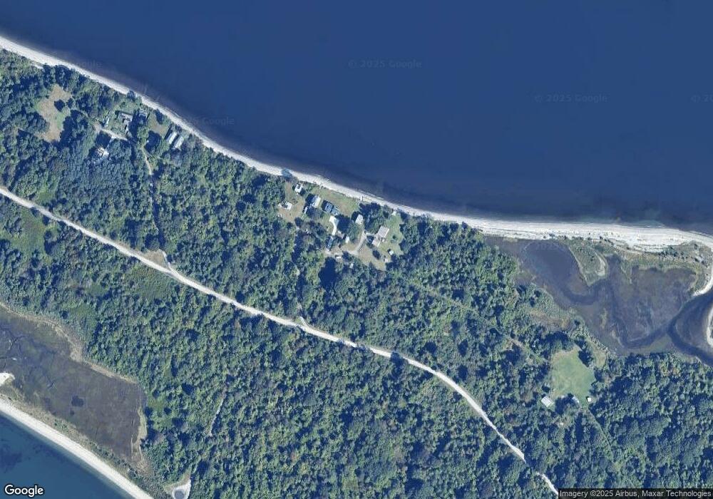
Map
Nearby Homes
- 0 Governor Paine Rd
- 33 Alden Ave
- 0176 Daniel Ave
- 272 Carnegie Harbor Dr
- 178 Carnegie Harbor Dr
- 95 Devin Dr
- 26 Westwood Dr
- 1 Tower Dr Unit 302
- 1 Tower Dr Unit 1106
- 1 Tower Dr Unit 406
- 1 Tower Dr Unit 1806
- 1 Tower Dr Unit 1203
- 1 Tower Dr Unit 101
- 59 Carnegie Harbor Dr
- 4 Lookout Ln
- 8 Lookout Ln
- 12 Lookout Ln
- 125 Corys Ln
- 0 Willow Ln Unit Leeward A
- 0 Willow Ln Unit Leeward B
- 13 Holbrook Ave
- 76 Mount Pleasant Ave
- 35 Beach Rd
- 50 Providence Ave
- 48 Providence Ave
- 18 Pear Tree Ln
- 21 Harriet Ave
- 32 Ross Ave
- 75 Beach Rd
- 0 Albro Rd Unit 1157956
- 657 Broadway
- 0 Mt Pleasant Ave Unit 754648
- 0 Mt Pleasant Ave Unit 999989
- 0 Mt Pleasant Ave Unit 1128236
- 233 Bay Ave
- 243 Bay Ave
- 151 Concord Ave
- 021 Park Ave
- 71 Concord Ave
- 355 Bay Ave