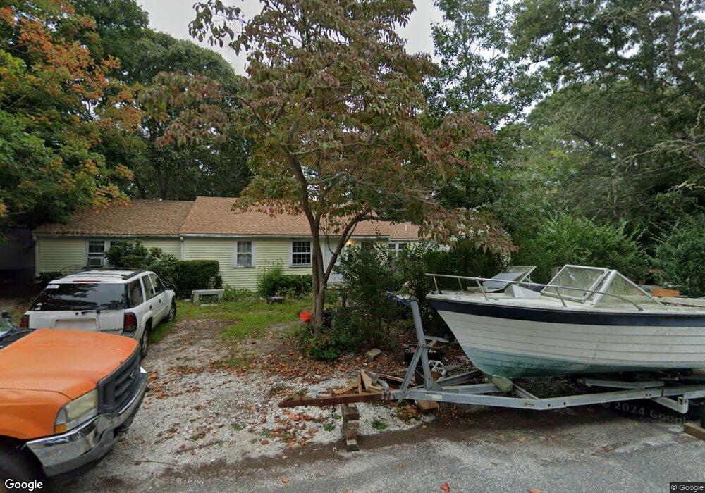
62 Beach Rd West Yarmouth, MA 02673
South Yarmouth NeighborhoodEstimated Value: $469,000 - $579,586
3
Beds
2
Baths
1,476
Sq Ft
$362/Sq Ft
Est. Value
About This Home
This home is located at 62 Beach Rd, West Yarmouth, MA 02673 and is currently estimated at $534,897, approximately $362 per square foot. 62 Beach Rd is a home located in Barnstable County with nearby schools including Dennis-Yarmouth Regional High School, Sturgis Charter Public School, and St. Pius X. School.
Ownership History
Date
Name
Owned For
Owner Type
Purchase Details
Closed on
Apr 4, 2018
Sold by
X Christiansen 2017 Lt
Bought by
John F Christiansen T
Current Estimated Value
Purchase Details
Closed on
Dec 20, 2017
Sold by
Christiansen Xenia A
Bought by
Xenia Christiansen Lt
Purchase Details
Closed on
May 31, 2000
Sold by
Falconieri Martha V
Bought by
Christiansen Xenia A and Christiansen Johan S
Home Financials for this Owner
Home Financials are based on the most recent Mortgage that was taken out on this home.
Original Mortgage
$96,000
Interest Rate
8.14%
Mortgage Type
Purchase Money Mortgage
Create a Home Valuation Report for This Property
The Home Valuation Report is an in-depth analysis detailing your home's value as well as a comparison with similar homes in the area
Home Values in the Area
Average Home Value in this Area
Purchase History
| Date | Buyer | Sale Price | Title Company |
|---|---|---|---|
| John F Christiansen T | -- | -- | |
| Xenia Christiansen Lt | -- | -- | |
| Christiansen Xenia A | $120,000 | -- |
Source: Public Records
Mortgage History
| Date | Status | Borrower | Loan Amount |
|---|---|---|---|
| Previous Owner | Christiansen Xenia A | $25,000 | |
| Previous Owner | Christiansen Xenia A | $96,000 | |
| Previous Owner | Christiansen Xenia A | $80,000 |
Source: Public Records
Tax History Compared to Growth
Tax History
| Year | Tax Paid | Tax Assessment Tax Assessment Total Assessment is a certain percentage of the fair market value that is determined by local assessors to be the total taxable value of land and additions on the property. | Land | Improvement |
|---|---|---|---|---|
| 2025 | $3,464 | $489,200 | $141,100 | $348,100 |
| 2024 | $3,456 | $468,300 | $148,700 | $319,600 |
| 2023 | $3,530 | $435,300 | $132,500 | $302,800 |
| 2022 | $3,305 | $360,000 | $119,300 | $240,700 |
| 2021 | $3,088 | $323,000 | $119,300 | $203,700 |
| 2020 | $3,101 | $310,100 | $119,300 | $190,800 |
| 2019 | $2,850 | $282,200 | $119,300 | $162,900 |
| 2018 | $2,676 | $260,100 | $97,200 | $162,900 |
| 2017 | $2,467 | $246,200 | $97,200 | $149,000 |
| 2016 | $2,368 | $237,300 | $88,300 | $149,000 |
| 2015 | $2,343 | $233,400 | $88,300 | $145,100 |
Source: Public Records
Map
Nearby Homes
- 33 Lake Rd
- 274 Winslow Gray Rd
- 23 Circuit Rd N
- 68 Bob-O-link Ln
- 11 Bob-O-link Ln
- 844 Route 28 Unit 2A
- 844 Route 28 Unit 9B
- 844 Route 28 Unit 2A
- 24 Fast Brook Rd
- 27 Angus Ave
- 17 Angus Ave
- 8 Rogers Ave
- 26 Howes Rd
- 2 Candlewood Ln
- 3 Saturn Ln
- 2 Ocean Spray Ln
- 54 Boxberry Ln
- 55 Pawkannawkut Dr
- 17 South St
- 3 Andy Ln