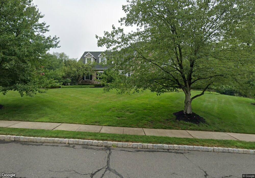
62 Blackburn Rd Basking Ridge, NJ 07920
Estimated Value: $1,611,710 - $1,832,000
Studio
--
Bath
3,705
Sq Ft
$469/Sq Ft
Est. Value
About This Home
This home is located at 62 Blackburn Rd, Basking Ridge, NJ 07920 and is currently estimated at $1,736,928, approximately $468 per square foot. 62 Blackburn Rd is a home located in Somerset County with nearby schools including Cedar Hill Elementary School, William Annin Middle School, and Ridge High School.
Ownership History
Date
Name
Owned For
Owner Type
Purchase Details
Closed on
Apr 8, 2013
Sold by
Kahm Todd A and Kahm Danielle L
Bought by
Kahmdanielle & Todd A Trustees
Current Estimated Value
Purchase Details
Closed on
Oct 1, 2004
Sold by
Sherwyn Steven M
Bought by
Kahm Todd A and Kahm Danielle L
Home Financials for this Owner
Home Financials are based on the most recent Mortgage that was taken out on this home.
Original Mortgage
$500,000
Interest Rate
5.74%
Create a Home Valuation Report for This Property
The Home Valuation Report is an in-depth analysis detailing your home's value as well as a comparison with similar homes in the area
Home Values in the Area
Average Home Value in this Area
Purchase History
| Date | Buyer | Sale Price | Title Company |
|---|---|---|---|
| Kahmdanielle & Todd A Trustees | -- | -- | |
| Kahm Todd A | $1,233,000 | -- |
Source: Public Records
Mortgage History
| Date | Status | Borrower | Loan Amount |
|---|---|---|---|
| Previous Owner | Kahm Todd A | $500,000 |
Source: Public Records
Tax History
| Year | Tax Paid | Tax Assessment Tax Assessment Total Assessment is a certain percentage of the fair market value that is determined by local assessors to be the total taxable value of land and additions on the property. | Land | Improvement |
|---|---|---|---|---|
| 2025 | $23,431 | $1,449,000 | $457,000 | $992,000 |
| 2024 | $23,431 | $1,317,100 | $383,600 | $933,500 |
| 2023 | $22,083 | $1,170,900 | $383,600 | $787,300 |
| 2022 | $22,318 | $1,109,800 | $378,800 | $731,000 |
| 2021 | $20,215 | $967,400 | $374,100 | $593,300 |
| 2020 | $20,215 | $965,400 | $374,100 | $591,300 |
| 2019 | $20,572 | $1,011,400 | $376,700 | $634,700 |
| 2018 | $21,570 | $1,075,800 | $376,700 | $699,100 |
| 2017 | $20,737 | $1,042,600 | $390,900 | $651,700 |
| 2016 | $20,782 | $1,065,200 | $411,500 | $653,700 |
| 2015 | $20,193 | $1,053,900 | $391,500 | $662,400 |
| 2014 | $20,235 | $1,040,800 | $376,500 | $664,300 |
Source: Public Records
Map
Nearby Homes
- 7 Valley View Dr
- 59 Manor Dr
- 24 Wharton Way
- 14 Bradford Ln
- 20 Alexandria Way
- 22 Alexandria Way
- 40 Chestnut Ct
- 46 Smithfield Ct
- 195 Alexandria Way
- 58 Smithfield Ct Unit 10
- 59 Sycamore Ct Ondo
- 206 Potomac Dr
- 275 Crabtree Ct
- 27 Potomac Dr
- 85 Sycamore Ct Ondo
- 12 Smithfield Ct
- 36 Debra Ln
- 7 Potomac Dr Unit 7
- 168 Potomac Dr Condo Unit 168
- 78 Potomac Dr Ondo
- 133 Bernard Dr
- 61 Blackburn Rd
- 128 Bernard Dr
- 70 Blackburn Rd
- 139 Bernard Dr
- 134 Bernard Dr
- 53 Blackburn Rd
- 67 Blackburn Rd
- 111 Bernard Dr
- 76 Blackburn Rd
- 140 Bernard Dr
- 145 Bernard Dr
- 10 Charter Ct
- 81 Blackburn Rd
- 105 Bernard Dr
- 110 Bernard Dr
- 146 Bernard Dr
- 80 Blackburn Rd
- 151 Bernard Dr
- 7 Charter Ct
Your Personal Tour Guide
Ask me questions while you tour the home.