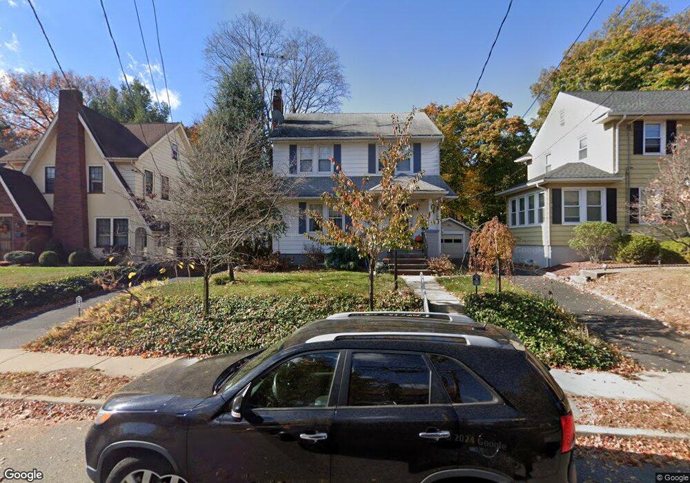
62 Brookside Ave Hawthorne, NJ 07506
Estimated Value: $536,207 - $645,000
About This Home
This home is located at 62 Brookside Ave, Hawthorne, NJ 07506 and is currently estimated at $607,802, approximately $418 per square foot. 62 Brookside Ave is a home located in Passaic County with nearby schools including Hawthorne High School, St Anthony School, and Hawthorne Christian Academy.
Ownership History
We collect this data history from publicly available records. To have your information removed, we recommend requesting removal directly through your county’s website.
Purchase Details
Purchase Details
Home Financials for this Owner
Home Financials are based on the most recent Mortgage that was taken out on this home.Purchase Details
Home Values in the Area
Average Home Value in this Area
Purchase History
We collect this data history from publicly available records. To have your information removed, we recommend requesting removal directly through your county’s website.
| Date | Buyer | Sale Price | Title Company |
|---|---|---|---|
| -- | None Available | ||
| -- | -- | ||
| -- | -- |
Mortgage History
We collect this data history from publicly available records. To have your information removed, we recommend requesting removal directly through your county’s website.
| Date | Status | Borrower | Loan Amount |
|---|---|---|---|
| Closed | -- |
Tax History
We collect this data history from publicly available records. To have your information removed, we recommend requesting removal directly through your county’s website.
| Year | Tax Paid | Tax Assessment Tax Assessment Total Assessment is a certain percentage of the fair market value that is determined by local assessors to be the total taxable value of land and additions on the property. | Land | Improvement |
|---|---|---|---|---|
| 2025 | $10,349 | $340,200 | $171,300 | $168,900 |
| 2024 | $10,206 | $340,200 | $171,300 | $168,900 |
| 2022 | $10,036 | $340,200 | $171,300 | $168,900 |
| 2021 | $9,839 | $340,200 | $171,300 | $168,900 |
| 2020 | $9,699 | $340,200 | $171,300 | $168,900 |
| 2019 | $9,252 | $154,800 | $87,700 | $67,100 |
| 2018 | $9,051 | $154,800 | $87,700 | $67,100 |
| 2017 | $8,903 | $154,800 | $87,700 | $67,100 |
| 2016 | $8,779 | $154,800 | $87,700 | $67,100 |
| 2015 | $8,675 | $154,800 | $87,700 | $67,100 |
| 2014 | $8,319 | $154,800 | $87,700 | $67,100 |
Map
- 10 Brookside Ave
- 75 Mazur Place
- 37 Buena Vista Ave
- 179 Buena Vista Ave
- 86 Llewellyn Ave
- 23 2nd Ave
- 45 Dietrich Ln
- 20 Forest Ave
- 94 May St
- 72 Forest Ave
- 31 Knoble Place
- 8 Royal Ave
- 26 Birchwood Ln
- 80 Elberon Ave
- 7 Maitland Ave
- 18 Birchwood Ln
- 15 Oak Place
- 185 Washington Ave
- 155 Washington Ave
- 69 Magnolia Way
- 66 Brookside Ave
- 58 Brookside Ave
- 54 Brookside Ave
- 70 Brookside Ave
- 50 Brookside Ave
- 74 Brookside Ave
- 44 Brookside Ave
- 55 Brookside Ave
- 53 Brookside Ave
- 57 Brookside Ave
- 61 Brookside Ave
- 78 Brookside Ave
- 65 Brookside Ave
- 49 Brookside Ave
- 69 Brookside Ave
- 89 AKA 91 Brookside Ave
- 82 Brookside Ave
- 45 Brookside Ave
- 43 Brookside Ave
- 38 Brookside Ave
Ask me questions while you tour the home.