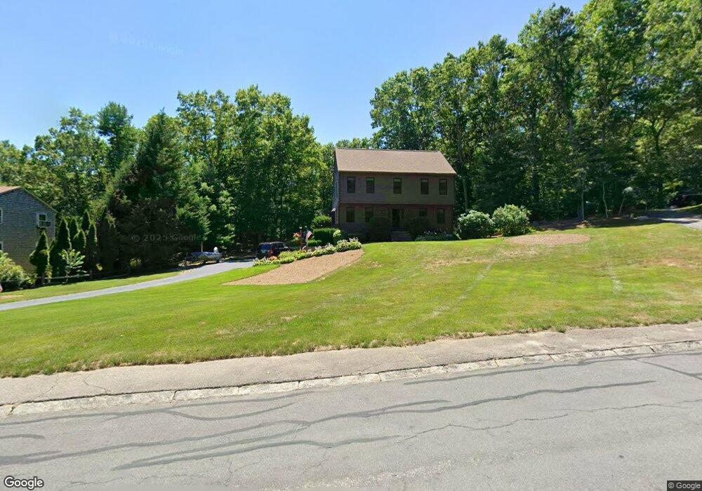
62 Carolina Trail Marshfield, MA 02050
Estimated Value: $707,000 - $875,000
4
Beds
2
Baths
1,760
Sq Ft
$462/Sq Ft
Est. Value
About This Home
This home is located at 62 Carolina Trail, Marshfield, MA 02050 and is currently estimated at $813,655, approximately $462 per square foot. 62 Carolina Trail is a home located in Plymouth County with nearby schools including South River, Furnace Brook Middle School, and Marshfield High School.
Ownership History
Date
Name
Owned For
Owner Type
Purchase Details
Closed on
Dec 18, 2022
Sold by
Dunderdale William G
Bought by
William Dunderdale T G
Current Estimated Value
Purchase Details
Closed on
Jul 31, 2012
Sold by
Dunderdale William G and Dunderdale Barbara A
Bought by
Dunderdale William G
Purchase Details
Closed on
Oct 26, 2005
Sold by
Rychalsky Alexander W and Rychalsky Josephine T
Bought by
Dunderdale G William and Dunderdale William G
Create a Home Valuation Report for This Property
The Home Valuation Report is an in-depth analysis detailing your home's value as well as a comparison with similar homes in the area
Home Values in the Area
Average Home Value in this Area
Purchase History
| Date | Buyer | Sale Price | Title Company |
|---|---|---|---|
| William Dunderdale T G | -- | None Available | |
| Dunderdale William G | -- | -- | |
| Dunderdale G William | $10,000 | -- |
Source: Public Records
Mortgage History
| Date | Status | Borrower | Loan Amount |
|---|---|---|---|
| Previous Owner | Dunderdale G William | $200,000 | |
| Previous Owner | Dunderdale G William | $67,000 |
Source: Public Records
Tax History Compared to Growth
Tax History
| Year | Tax Paid | Tax Assessment Tax Assessment Total Assessment is a certain percentage of the fair market value that is determined by local assessors to be the total taxable value of land and additions on the property. | Land | Improvement |
|---|---|---|---|---|
| 2025 | $7,231 | $730,400 | $320,300 | $410,100 |
| 2024 | $7,049 | $678,400 | $305,000 | $373,400 |
| 2023 | $6,888 | $608,500 | $283,200 | $325,300 |
| 2022 | $6,880 | $531,300 | $251,500 | $279,800 |
| 2021 | $6,840 | $518,600 | $251,500 | $267,100 |
| 2020 | $6,524 | $489,400 | $229,700 | $259,700 |
| 2019 | $6,353 | $474,800 | $229,700 | $245,100 |
| 2018 | $6,283 | $469,900 | $229,700 | $240,200 |
| 2017 | $6,190 | $451,200 | $229,700 | $221,500 |
| 2016 | $6,057 | $436,400 | $229,700 | $206,700 |
| 2015 | $5,735 | $431,500 | $229,700 | $201,800 |
| 2014 | $5,643 | $424,600 | $229,700 | $194,900 |
Source: Public Records
Map
Nearby Homes
- 47 Carolina Trail
- 480 Ferry St
- 341 Furnace St
- 235 Main St
- 39 High Beacon Way
- 899 Old Main Street Extension
- 167 Planting Field Rd
- 95 Telegraph Hill Rd
- 2 Proprietors Dr Unit 23
- 566 Holly Rd
- 311 S River St
- 1155 Main St
- 8 Duxbury St
- 14 Red Pony Path
- 92 Salt Meadow Waye
- 3 Summer St
- 4 Summer St
- 120 Holly Rd
- 451 School St Unit 5-2
- 451 School St Unit 3-4
- 60 Carolina Trail
- 64 Carolina Trail
- 58 Carolina Trail
- 63 Carolina Trail
- 66 Carolina Trail
- 785 Eames Way
- 56 Carolina Trail
- 65 Carolina Trail
- 61 Carolina Trail
- 805 Eames Way
- 795 Eames Way
- 775 Eames Way
- 765 Eames Way
- 815 Eames Way
- 82 Furnace St
- 67 Carolina Trail
- 92 Furnace St
- 54 Carolina Trail
- 72 Furnace St
- 102 Furnace St