62 Colin Ct Branchburg, NJ 08853
Branchburg Township NeighborhoodEstimated Value: $937,286 - $1,053,000
--
Bed
--
Bath
3,399
Sq Ft
$291/Sq Ft
Est. Value
About This Home
This home is located at 62 Colin Ct, Branchburg, NJ 08853 and is currently estimated at $990,072, approximately $291 per square foot. 62 Colin Ct is a home located in Somerset County with nearby schools including Whiton Elementary School, Stony Brook School, and Branchburg Central Middle School.
Ownership History
Date
Name
Owned For
Owner Type
Purchase Details
Closed on
Mar 31, 2004
Sold by
Jenkins Richard A
Bought by
Hrabinski Kevin J and Hrabinski Lisa E
Current Estimated Value
Home Financials for this Owner
Home Financials are based on the most recent Mortgage that was taken out on this home.
Original Mortgage
$470,000
Interest Rate
5.75%
Purchase Details
Closed on
Nov 18, 1998
Sold by
Gregg Robert
Bought by
Jenkins Richard and Jenkins Lucille
Home Financials for this Owner
Home Financials are based on the most recent Mortgage that was taken out on this home.
Original Mortgage
$150,000
Interest Rate
6.8%
Purchase Details
Closed on
Aug 31, 1992
Sold by
Orr Bruce J and Orr Milagros M
Bought by
Gregg Robert A and Gregg Theresa M
Create a Home Valuation Report for This Property
The Home Valuation Report is an in-depth analysis detailing your home's value as well as a comparison with similar homes in the area
Home Values in the Area
Average Home Value in this Area
Purchase History
| Date | Buyer | Sale Price | Title Company |
|---|---|---|---|
| Hrabinski Kevin J | $610,000 | -- | |
| Jenkins Richard | $390,000 | -- | |
| Gregg Robert A | $315,000 | -- |
Source: Public Records
Mortgage History
| Date | Status | Borrower | Loan Amount |
|---|---|---|---|
| Previous Owner | Hrabinski Kevin J | $470,000 | |
| Previous Owner | Jenkins Richard | $150,000 |
Source: Public Records
Tax History Compared to Growth
Tax History
| Year | Tax Paid | Tax Assessment Tax Assessment Total Assessment is a certain percentage of the fair market value that is determined by local assessors to be the total taxable value of land and additions on the property. | Land | Improvement |
|---|---|---|---|---|
| 2025 | $13,425 | $823,800 | $225,200 | $598,600 |
| 2024 | $13,425 | $744,200 | $225,200 | $519,000 |
| 2023 | $12,781 | $683,100 | $225,200 | $457,900 |
| 2022 | $12,682 | $644,100 | $225,200 | $418,900 |
| 2021 | $12,792 | $605,100 | $215,200 | $389,900 |
| 2020 | $12,487 | $582,700 | $215,200 | $367,500 |
| 2019 | $12,318 | $571,600 | $215,200 | $356,400 |
| 2018 | $12,195 | $564,300 | $215,200 | $349,100 |
| 2017 | $12,201 | $560,700 | $215,200 | $345,500 |
| 2016 | $12,290 | $561,200 | $215,200 | $346,000 |
| 2015 | $12,143 | $555,500 | $209,200 | $346,300 |
| 2014 | $12,055 | $558,100 | $207,200 | $350,900 |
Source: Public Records
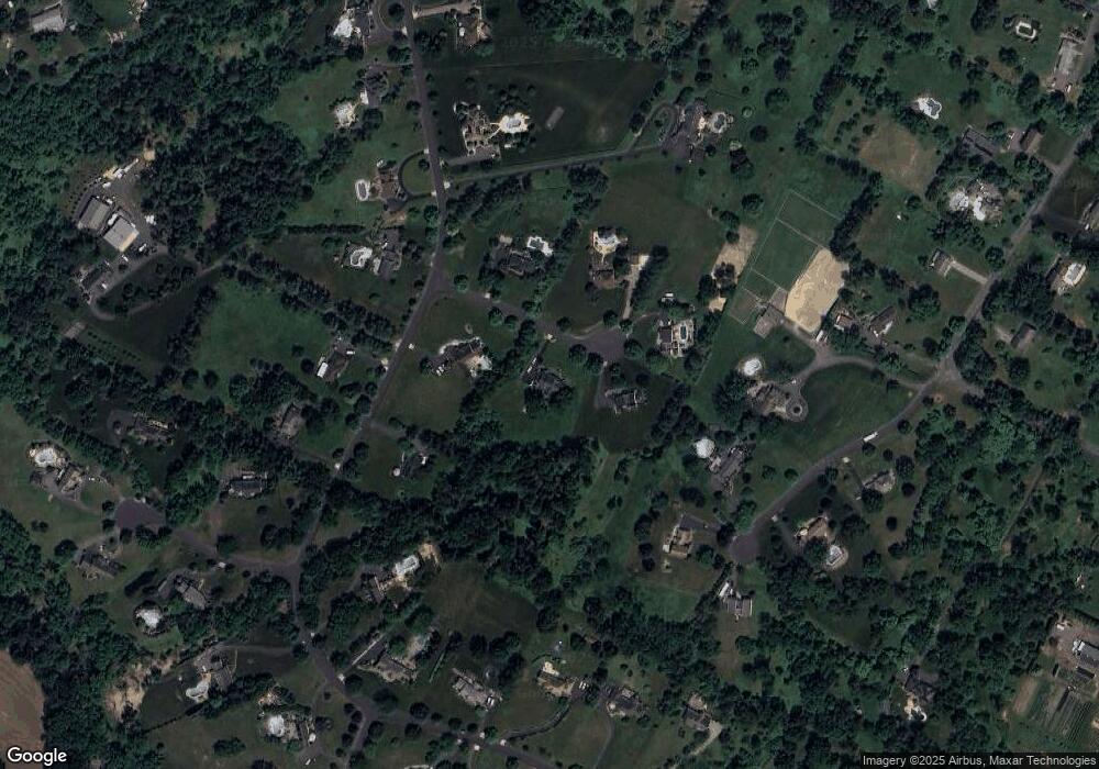
Map
Nearby Homes
- 91 Briar Way
- 34 Lehigh Rd
- 247 Summer Rd
- 200 Milkweed Ct Unit 200
- 816 Rt 202
- 21 Owl Ct Unit 21
- 407 Olive St
- 12 Forest Hill Dr
- 205 Hockenbury Rd
- 752 Amwell Rd
- 872 Amwell Rd
- 6 Van Fleet Rd
- 68 Clover Hill Rd
- 5 Rea Ct
- 1053 Hillcrest Dr
- 1 Meadow Run Way
- 581 Montgomery Rd
- 718 Mill Ln
- 30 Claridge Ln
- 10 Samuel Dr