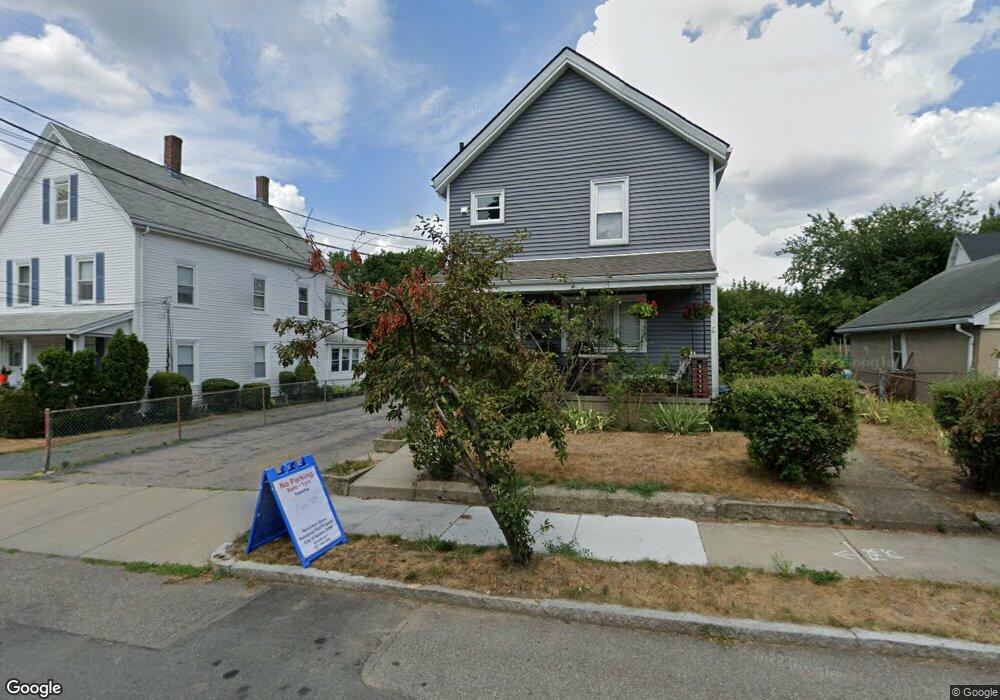
62 Cook St Newton, MA 02458
Nonantum NeighborhoodEstimated Value: $1,015,000 - $1,558,000
3
Beds
2
Baths
2,068
Sq Ft
$588/Sq Ft
Est. Value
About This Home
This home is located at 62 Cook St, Newton, MA 02458 and is currently estimated at $1,215,373, approximately $587 per square foot. 62 Cook St is a home located in Middlesex County with nearby schools including Lincoln-Eliot Elementary School, Bigelow Middle School, and Newton North High School.
Ownership History
Date
Name
Owned For
Owner Type
Purchase Details
Closed on
Feb 16, 2011
Sold by
Patriacca Marion A and Patriacca Raymond L
Bought by
62 Cook Street Rt and Patriacca Raymond L
Current Estimated Value
Create a Home Valuation Report for This Property
The Home Valuation Report is an in-depth analysis detailing your home's value as well as a comparison with similar homes in the area
Home Values in the Area
Average Home Value in this Area
Purchase History
| Date | Buyer | Sale Price | Title Company |
|---|---|---|---|
| 62 Cook Street Rt | -- | -- |
Source: Public Records
Tax History Compared to Growth
Tax History
| Year | Tax Paid | Tax Assessment Tax Assessment Total Assessment is a certain percentage of the fair market value that is determined by local assessors to be the total taxable value of land and additions on the property. | Land | Improvement |
|---|---|---|---|---|
| 2025 | $8,623 | $879,900 | $713,800 | $166,100 |
| 2024 | $8,338 | $854,300 | $693,000 | $161,300 |
| 2023 | $8,012 | $787,000 | $558,600 | $228,400 |
| 2022 | $7,666 | $728,700 | $517,200 | $211,500 |
| 2021 | $7,193 | $668,500 | $474,500 | $194,000 |
| 2020 | $6,979 | $668,500 | $474,500 | $194,000 |
| 2019 | $6,529 | $624,800 | $443,500 | $181,300 |
| 2018 | $6,540 | $604,400 | $416,600 | $187,800 |
| 2017 | $6,166 | $554,500 | $382,200 | $172,300 |
| 2016 | $5,789 | $508,700 | $350,600 | $158,100 |
| 2015 | $5,519 | $475,400 | $327,700 | $147,700 |
Source: Public Records
Map
Nearby Homes
- 86 West St
- 12-14 Middle St
- 53 West St
- 34 West St Unit A
- 290 Watertown St Unit 3
- 290 Watertown St Unit 4
- 188-190 Adams St
- 11 Murphy Ct
- 90 Waban Park Unit 2
- 158 Adams St
- 77 Pond Ave Unit 1103
- 3 Ashmont Ave
- 324 Adams St Unit 2
- 49 Hawthorn St
- 22-24 Emerald St
- 44 Faxon St Unit 2
- 141 Morse St
- 15-17 Jewett Place Unit 2
- 338 Nevada St Unit 338
- 68 Los Angeles St Unit PH5
- 62 Cook St Unit 2
- 25 Green St
- 58 Cook St
- 23 Green Park
- 19 Green St Unit 21
- 54 Cook St Unit 56
- 56 Cook St Unit 1
- 54 Cook St Unit 1
- 56 Cook St
- 57 Cook St
- 57 Cook St
- 57 Cook St Unit 1
- 57 Cook St Unit 59
- 57 Cook St Unit 2
- 57 Cook St Unit 57
- 59 Cook St
- 100 John F. Kennedy Cir Unit 102
- 13 - 15 Green St Unit 2
- 53 Cook St
- 50 Cook St Unit 1