62 Crazy Bear Trail Absarokee, MT 59001
Estimated Value: $210,835 - $412,000
Studio
3
Baths
--
Sq Ft
1,742,400
Sq Ft Lot
About This Home
This home is located at 62 Crazy Bear Trail, Absarokee, MT 59001 and is currently estimated at $311,418. 62 Crazy Bear Trail is a home located in Stillwater County with nearby schools including Absarokee School, Absarokee Junior High School, and Absarokee High School.
Ownership History
Date
Name
Owned For
Owner Type
Purchase Details
Closed on
Mar 18, 2016
Bought by
Feddes Brian H and Feddes Meredith L
Current Estimated Value
Purchase Details
Closed on
Jan 9, 2012
Sold by
Heritage Bank
Bought by
Rohan Joesph W and Sostrom Dale A
Purchase Details
Closed on
Jul 15, 2011
Sold by
Sostrom Dale A and Sostrom Dena M
Bought by
Gray Robert S and Gray Lona D
Home Financials for this Owner
Home Financials are based on the most recent Mortgage that was taken out on this home.
Original Mortgage
$215,800
Interest Rate
4.5%
Purchase Details
Closed on
Apr 20, 2007
Sold by
Sostrom Dale and Sostrom Dena
Bought by
Sostrom Dale A and Sostrom Dena M
Create a Home Valuation Report for This Property
The Home Valuation Report is an in-depth analysis detailing your home's value as well as a comparison with similar homes in the area
Purchase History
| Date | Buyer | Sale Price | Title Company |
|---|---|---|---|
| Feddes Brian H | -- | -- | |
| Rohan Joesph W | -- | -- | |
| Gray Robert S | -- | -- | |
| Sostrom Dale A | -- | -- |
Source: Public Records
Mortgage History
| Date | Status | Borrower | Loan Amount |
|---|---|---|---|
| Previous Owner | Gray Robert S | $215,800 |
Source: Public Records
Tax History
| Year | Tax Paid | Tax Assessment Tax Assessment Total Assessment is a certain percentage of the fair market value that is determined by local assessors to be the total taxable value of land and additions on the property. | Land | Improvement |
|---|---|---|---|---|
| 2025 | $241 | $41,182 | $0 | $0 |
| 2024 | $299 | $33,910 | $0 | $0 |
| 2023 | $299 | $33,910 | $0 | $0 |
| 2022 | $322 | $33,011 | $0 | $0 |
| 2021 | $327 | $33,011 | $0 | $0 |
| 2020 | $330 | $34,941 | $0 | $0 |
| 2019 | $337 | $34,941 | $0 | $0 |
| 2018 | $334 | $31,759 | $0 | $0 |
| 2017 | $327 | $6,999 | $0 | $0 |
| 2016 | $302 | $6,718 | $0 | $0 |
| 2015 | $5 | $66 | $0 | $0 |
| 2014 | $1,612 | $123,618 | $0 | $0 |
Source: Public Records
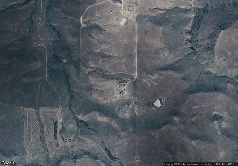
Map
Nearby Homes
- 20 Crow Child Trail
- 12 Crow Child Trail
- 41 Crow Child Trail
- A Johnson Dr Unit A
- 21 & 23 S Woodard Ave Unit 2 -HOMES For Price o
- 10 Alison Dr
- 30 Henry St
- 12 Avis St
- 2994 Highway 78
- 2825 & 2830 Highway 78 S
- 15.9 Ac Buck Creek Rd
- 91 Upper Hawk Valley Rd
- 37 Barham Rd
- 1258 Stillwater River Rd Unit 4
- TBD Brumfield RD Brumfield Rd
- 79 Meyers Rd
- 79 Myers Rd
- 140 Nighthawk Rd
- 20-21 Turkey Creek Dr
- 126 Night Hawk Rd
Your Personal Tour Guide
Ask me questions while you tour the home.