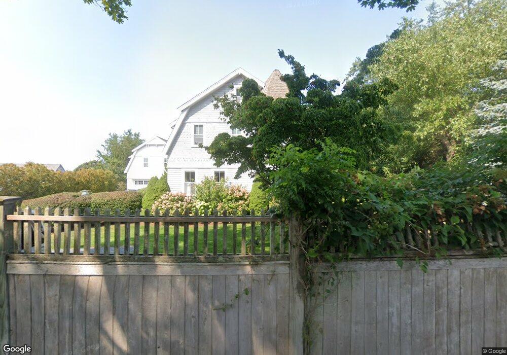
62 Crosby Cir Osterville, MA 02655
Osterville NeighborhoodEstimated Value: $1,909,721 - $2,242,000
4
Beds
3
Baths
2,356
Sq Ft
$883/Sq Ft
Est. Value
About This Home
This home is located at 62 Crosby Cir, Osterville, MA 02655 and is currently estimated at $2,079,680, approximately $882 per square foot. 62 Crosby Cir is a home located in Barnstable County with nearby schools including West Villages Elementary School, Barnstable United Elementary School, and Barnstable Intermediate School.
Ownership History
Date
Name
Owned For
Owner Type
Purchase Details
Closed on
Apr 27, 2024
Sold by
Crosby Scott E
Bought by
Scott Edward Crosby T and Scott Crosby
Current Estimated Value
Purchase Details
Closed on
Jun 5, 1991
Sold by
Crosby Theodore M and Manley Crosby H
Bought by
Crosby Scott E
Create a Home Valuation Report for This Property
The Home Valuation Report is an in-depth analysis detailing your home's value as well as a comparison with similar homes in the area
Home Values in the Area
Average Home Value in this Area
Purchase History
| Date | Buyer | Sale Price | Title Company |
|---|---|---|---|
| Scott Edward Crosby T | -- | None Available | |
| Scott Edward Crosby T | -- | None Available | |
| Crosby Scott E | $187,000 | -- | |
| Crosby Scott E | $187,000 | -- |
Source: Public Records
Mortgage History
| Date | Status | Borrower | Loan Amount |
|---|---|---|---|
| Previous Owner | Crosby Scott E | $117,900 | |
| Previous Owner | Crosby Scott E | $221,100 |
Source: Public Records
Tax History Compared to Growth
Tax History
| Year | Tax Paid | Tax Assessment Tax Assessment Total Assessment is a certain percentage of the fair market value that is determined by local assessors to be the total taxable value of land and additions on the property. | Land | Improvement |
|---|---|---|---|---|
| 2025 | $14,634 | $1,808,900 | $886,900 | $922,000 |
| 2024 | $13,722 | $1,757,000 | $886,900 | $870,100 |
| 2023 | $12,467 | $1,494,800 | $732,900 | $761,900 |
| 2022 | $10,951 | $1,136,000 | $477,800 | $658,200 |
| 2021 | $10,759 | $1,025,600 | $434,300 | $591,300 |
| 2020 | $11,441 | $1,043,900 | $434,300 | $609,600 |
| 2019 | $11,459 | $1,015,900 | $456,100 | $559,800 |
| 2018 | $10,233 | $912,000 | $434,300 | $477,700 |
| 2017 | $9,708 | $902,200 | $434,300 | $467,900 |
| 2016 | $9,812 | $900,200 | $432,300 | $467,900 |
| 2015 | $10,114 | $932,200 | $430,200 | $502,000 |
Source: Public Records
Map
Nearby Homes
- 64 Bay St
- 920 Main St Unit 1 Building 2
- 920 Main St Unit 2-1
- 39 Tower Hill Rd Unit 1C
- 355 Bridge St
- 255 Bayberry Way
- 98 Bunker Hill Rd
- 168 Garrison Ln
- 414 Eel River Rd
- 51 Wianno Cir
- 40 Waterfield Rd
- 25 Oyster Way
- 77 Robbins St
- 71 Sand Point
- 199 E Bay Rd Unit 13
- 16 2nd Ave Unit 5A
- 501 Eel River Rd
- 245 N Bay Rd