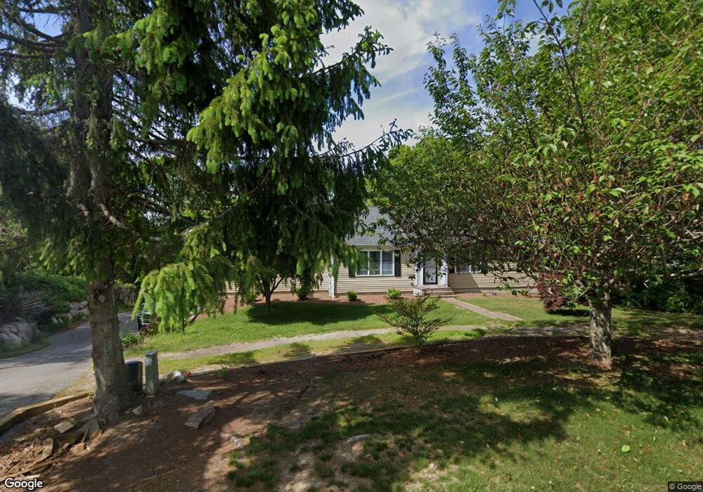
62 Desert Sands Ln Yarmouth Port, MA 02675
Yarmouth Port NeighborhoodEstimated Value: $869,000 - $1,001,000
3
Beds
3
Baths
1,801
Sq Ft
$518/Sq Ft
Est. Value
About This Home
This home is located at 62 Desert Sands Ln, Yarmouth Port, MA 02675 and is currently estimated at $932,750, approximately $517 per square foot. 62 Desert Sands Ln is a home located in Barnstable County with nearby schools including Dennis-Yarmouth Regional High School.
Ownership History
Date
Name
Owned For
Owner Type
Purchase Details
Closed on
Jul 12, 2001
Sold by
Valenti Peter J and Valenti Nancy E
Bought by
Kelley John D and Kelley Beth
Current Estimated Value
Purchase Details
Closed on
Aug 20, 1996
Sold by
Desert Sands Rt and Gordon H Jon
Bought by
Valenti Peter J and Valenti Nancy E
Create a Home Valuation Report for This Property
The Home Valuation Report is an in-depth analysis detailing your home's value as well as a comparison with similar homes in the area
Home Values in the Area
Average Home Value in this Area
Purchase History
| Date | Buyer | Sale Price | Title Company |
|---|---|---|---|
| Kelley John D | $300,000 | -- | |
| Valenti Peter J | $176,500 | -- |
Source: Public Records
Mortgage History
| Date | Status | Borrower | Loan Amount |
|---|---|---|---|
| Open | Valenti Peter J | $270,000 | |
| Closed | Valenti Peter J | $55,000 |
Source: Public Records
Tax History Compared to Growth
Tax History
| Year | Tax Paid | Tax Assessment Tax Assessment Total Assessment is a certain percentage of the fair market value that is determined by local assessors to be the total taxable value of land and additions on the property. | Land | Improvement |
|---|---|---|---|---|
| 2025 | $5,945 | $839,700 | $229,300 | $610,400 |
| 2024 | $5,612 | $760,500 | $199,400 | $561,100 |
| 2023 | $5,274 | $650,300 | $168,300 | $482,000 |
| 2022 | $4,912 | $535,100 | $150,600 | $384,500 |
| 2021 | $4,561 | $477,100 | $150,600 | $326,500 |
| 2020 | $4,400 | $440,000 | $148,300 | $291,700 |
| 2019 | $80 | $398,200 | $148,300 | $249,900 |
| 2018 | $4,007 | $389,400 | $139,500 | $249,900 |
| 2017 | $3,902 | $389,400 | $139,500 | $249,900 |
| 2016 | $3,886 | $389,400 | $139,500 | $249,900 |
| 2015 | $3,735 | $372,000 | $139,500 | $232,500 |
Source: Public Records
Map
Nearby Homes
- 81 Desert Sands Ln
- 100 Spyglass Hill Rd
- 67 Spy Glass Hill Rd
- 83 Sisters Cir
- 83 Sisters Cir
- 86 Doral Dr
- 9 Wingfoot Dr
- 99 Old Hyannis Rd
- 111 Old Hyannis Rd
- 105 Old Hyannis Rd
- 4390 Main St
- 4323 Main St
- 44 Iris Ln
- 116 Route 6a
- 112 Main St
- 116 Main St
- 162 Route 6a
- 186 Route 6a
- 56 Wharf Ln
- 40 Thacher Shore Rd
- 50 Desert Sands Ln
- 74 Desert Sands Ln
- 100 Desert Sands Ln
- 61 Desert Sands Ln
- 38 Desert Sands Ln
- 78 Desert Sands Ln
- 41 Desert Sands Ln
- 53 Desert Sands Ln
- 73 Desert Sands Ln
- 49 Desert Sands Ln
- 24 Desert Sands Ln
- 30 Desert Sands Ln
- 70 Spy Glass Hill Rd
- 60 Spy Glass Hill Rd
- 11 Desert Sands Ln
- 11 Desert Sands Ln
- 105 Sisters Cir
- 221 Willow St
- 101 Sisters Cir
- 101 Sisters Cir