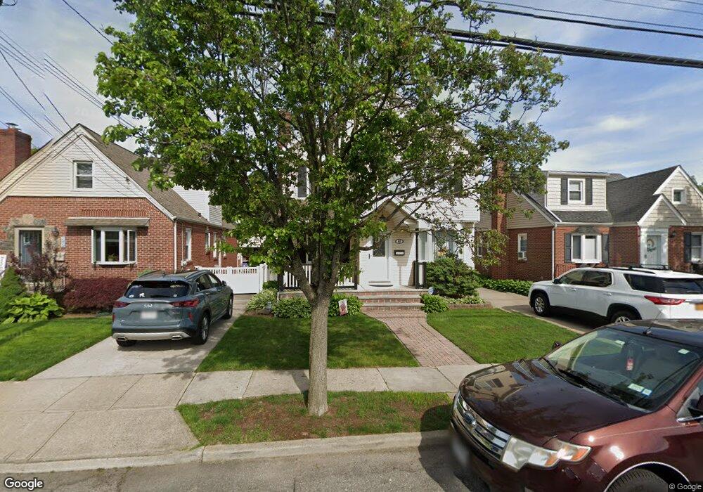
62 Euston Rd S West Hempstead, NY 11552
Estimated Value: $701,755 - $887,000
Studio
2
Baths
1,784
Sq Ft
$445/Sq Ft
Est. Value
About This Home
This home is located at 62 Euston Rd S, West Hempstead, NY 11552 and is currently estimated at $794,378, approximately $445 per square foot. 62 Euston Rd S is a home located in Nassau County with nearby schools including The Waldorf School of Garden City.
Create a Home Valuation Report for This Property
The Home Valuation Report is an in-depth analysis detailing your home's value as well as a comparison with similar homes in the area
Home Values in the Area
Average Home Value in this Area
Tax History
| Year | Tax Paid | Tax Assessment Tax Assessment Total Assessment is a certain percentage of the fair market value that is determined by local assessors to be the total taxable value of land and additions on the property. | Land | Improvement |
|---|---|---|---|---|
| 2025 | $11,134 | $534 | $243 | $291 |
| 2024 | $4,757 | $539 | $245 | $294 |
Source: Public Records
Map
Nearby Homes
- 676 Sobo Ave
- 124 Kilburn Rd S
- 715 Iris St
- 128 Rule St
- 149 Rule St
- 41 Goldenrod Ave
- 191 Euston Rd S
- 594 Fenworth Blvd
- 62 Poppy Ave
- 192 Brixton Rd S
- 234 Nassau Blvd
- 814 Benris Ave
- 198 Guildford Ct
- 89 Osborne Rd
- 138 Lincoln Rd
- 232 Ribbon St
- 231 Dogwood Ave
- 190 Commonwealth St
- 126 Oakland Ave
- 249 Grange St
Your Personal Tour Guide
Ask me questions while you tour the home.