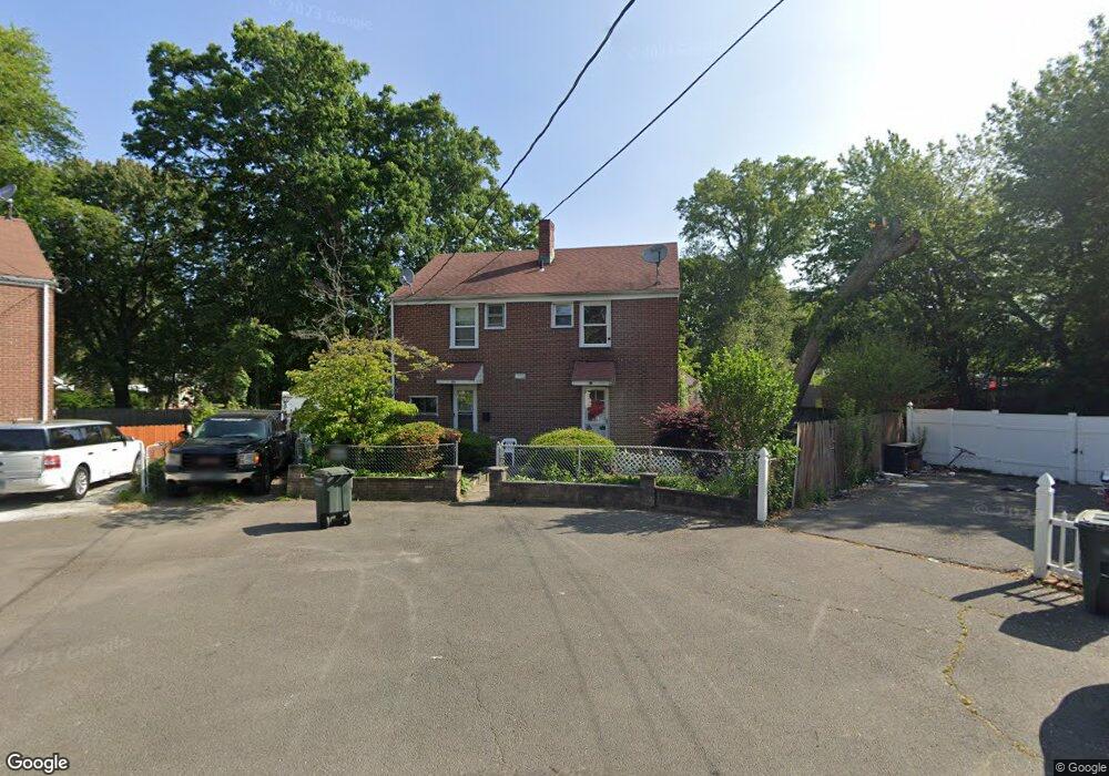
62 Evers Ct Unit 64 Bridgeport, CT 06610
North Bridgeport NeighborhoodEstimated Value: $375,481 - $511,000
5
Beds
3
Baths
2,064
Sq Ft
$219/Sq Ft
Est. Value
About This Home
This home is located at 62 Evers Ct Unit 64, Bridgeport, CT 06610 and is currently estimated at $451,620, approximately $218 per square foot. 62 Evers Ct Unit 64 is a home located in Fairfield County with nearby schools including Hooker School and Harding High School.
Ownership History
Date
Name
Owned For
Owner Type
Purchase Details
Closed on
Mar 31, 1994
Sold by
Peoples Bk
Bought by
Vargas Fernando and Vargas Miladys
Current Estimated Value
Home Financials for this Owner
Home Financials are based on the most recent Mortgage that was taken out on this home.
Original Mortgage
$59,200
Interest Rate
7.07%
Mortgage Type
Unknown
Create a Home Valuation Report for This Property
The Home Valuation Report is an in-depth analysis detailing your home's value as well as a comparison with similar homes in the area
Home Values in the Area
Average Home Value in this Area
Purchase History
| Date | Buyer | Sale Price | Title Company |
|---|---|---|---|
| Vargas Fernando | $60,000 | -- | |
| Vargas Fernando | $60,000 | -- |
Source: Public Records
Mortgage History
| Date | Status | Borrower | Loan Amount |
|---|---|---|---|
| Closed | Vargas Fernando | $65,500 | |
| Closed | Vargas Fernando | $59,200 |
Source: Public Records
Tax History
| Year | Tax Paid | Tax Assessment Tax Assessment Total Assessment is a certain percentage of the fair market value that is determined by local assessors to be the total taxable value of land and additions on the property. | Land | Improvement |
|---|---|---|---|---|
| 2025 | $6,607 | $152,050 | $46,050 | $106,000 |
| 2024 | $6,607 | $152,050 | $46,050 | $106,000 |
| 2023 | $6,607 | $152,050 | $46,050 | $106,000 |
| 2022 | $6,607 | $152,050 | $46,050 | $106,000 |
| 2021 | $6,607 | $152,050 | $46,050 | $106,000 |
| 2020 | $6,700 | $124,100 | $35,600 | $88,500 |
| 2019 | $6,700 | $124,100 | $35,600 | $88,500 |
| 2018 | $6,747 | $124,100 | $35,600 | $88,500 |
| 2017 | $6,747 | $124,100 | $35,600 | $88,500 |
| 2016 | $6,747 | $124,100 | $35,600 | $88,500 |
| 2015 | $7,063 | $167,360 | $43,070 | $124,290 |
| 2014 | $7,063 | $167,360 | $43,070 | $124,290 |
Source: Public Records
Map
Nearby Homes
- 211 Louisiana Ave Unit D
- 132 Virginia Ave Unit 132
- 120 Huntington Turnpike Unit 202
- 186 Louisiana Ave Unit D
- 11 Nob Hill Cir
- 261 Pennsylvania Ave
- 154 Virginia Ave Unit B
- 119 Jennings Ave
- 33 Louisiana Ave Unit 35
- 207 Hillcrest Rd
- 285 Hillcrest Rd
- 2100-2102 E Main St
- 156 Dayton Rd
- 250 Dayton Rd
- 2092-2096 E Main St
- 46 York St
- 282 Horace St
- 2034 E Main St
- 2031 E Main St
- 74 Hollywood Ave
- 60 Ronald Cir
- 51 Evers St
- 88 Priscilla Cir
- 86 Priscilla Cir
- 74 Priscilla Cir
- 74 Priscilla Cir Unit Circle
- 102 Priscilla Cir
- 95 Priscilla St
- 32 Evers Place
- 32 Evers Ct Unit 34
- 135 Priscilla St
- 97 Priscilla St
- 52 Ronald Cir
- 33-35 Evers Ct
- 50 Evers Ct Unit 54
- 127 Priscilla St
- 22 Evers Ct Unit 24
- 22-24 Evers Ct
- 83 Priscilla St
Your Personal Tour Guide
Ask me questions while you tour the home.