62 Ferrin Rd Chichester, NH 03258
Estimated Value: $558,000 - $1,111,632
2
Beds
3
Baths
3,901
Sq Ft
$197/Sq Ft
Est. Value
About This Home
This home is located at 62 Ferrin Rd, Chichester, NH 03258 and is currently estimated at $769,908, approximately $197 per square foot. 62 Ferrin Rd is a home with nearby schools including Chichester Central School.
Create a Home Valuation Report for This Property
The Home Valuation Report is an in-depth analysis detailing your home's value as well as a comparison with similar homes in the area
Home Values in the Area
Average Home Value in this Area
Tax History
| Year | Tax Paid | Tax Assessment Tax Assessment Total Assessment is a certain percentage of the fair market value that is determined by local assessors to be the total taxable value of land and additions on the property. | Land | Improvement |
|---|---|---|---|---|
| 2024 | $14,543 | $839,181 | $277,181 | $562,000 |
| 2023 | $13,779 | $839,181 | $277,181 | $562,000 |
| 2022 | $12,857 | $527,370 | $137,770 | $389,600 |
| 2021 | $12,286 | $531,841 | $138,441 | $393,400 |
| 2020 | $5,913 | $532,170 | $138,770 | $393,400 |
| 2019 | $5,661 | $532,170 | $138,770 | $393,400 |
| 2018 | $5,811 | $532,180 | $138,780 | $393,400 |
| 2017 | $14,793 | $533,665 | $186,065 | $347,600 |
| 2016 | $5,439 | $533,665 | $186,065 | $347,600 |
| 2015 | $14,073 | $533,660 | $186,060 | $347,600 |
| 2014 | $14,302 | $533,660 | $198,960 | $334,700 |
| 2013 | $13,517 | $533,851 | $199,151 | $334,700 |
Source: Public Records
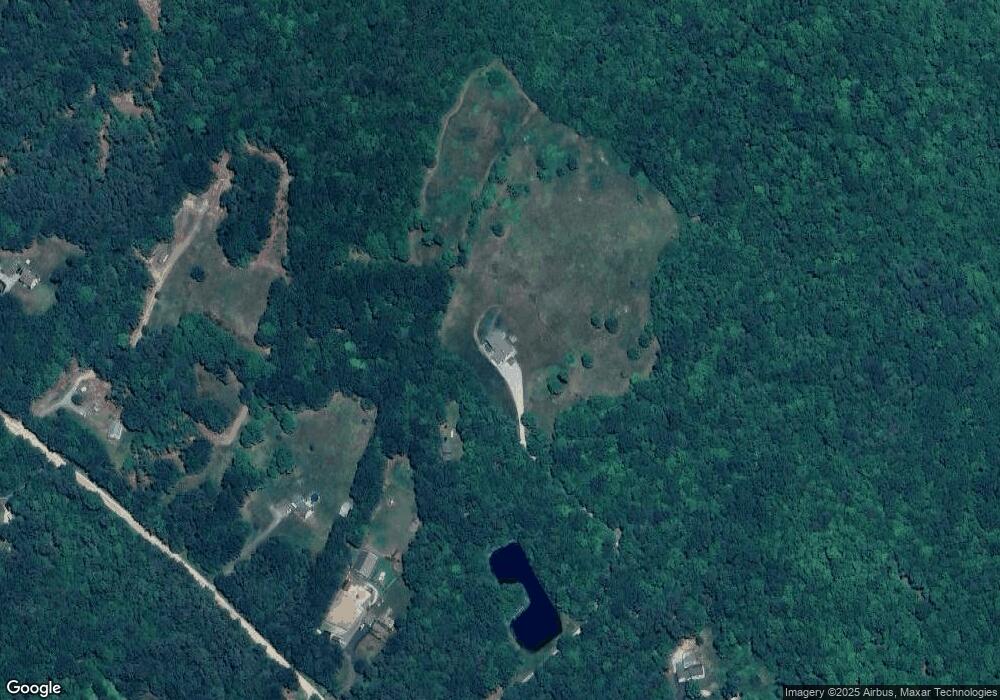
Map
Nearby Homes
- 67 Swiggey Brook Rd
- 520 Goboro Rd
- 662 New Hampshire 129
- 31 Ilona Ln
- 43 Cross Rd
- 0 Ricker Rd Unit 1
- 153 Leavitt Rd
- 60 Chichester Rd
- 603 Clough Hill Rd
- 101 New Hampshire 129
- 23 Concord Hill Rd
- 21 Concord Hill Rd
- 00 Wales Bridge Rd Unit 5
- 22 Concord Hill Rd
- 0 Dowboro Rd Unit 11
- 44 S Village Rd
- 361 Dover Rd
- 43 Watson St
- 55 Lane Rd
- 9 Park St
Your Personal Tour Guide
Ask me questions while you tour the home.