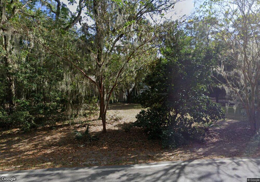
62 Foreman Hill Rd Bluffton, SC 29910
Estimated Value: $670,000 - $783,000
4
Beds
4
Baths
2,180
Sq Ft
$331/Sq Ft
Est. Value
About This Home
This home is located at 62 Foreman Hill Rd, Bluffton, SC 29910 and is currently estimated at $721,617, approximately $331 per square foot. 62 Foreman Hill Rd is a home located in Beaufort County with nearby schools including Michael C. Riley Elementary School, Bluffton Middle School, and Bluffton High School.
Ownership History
Date
Name
Owned For
Owner Type
Purchase Details
Closed on
Apr 26, 2018
Sold by
Scott Jeffrey
Bought by
Yates Cynthia L and Lynn Cynthia L
Current Estimated Value
Purchase Details
Closed on
Sep 24, 2004
Sold by
Kelly John T and Kelly Patricia A
Bought by
Scott Raymond Jeffrey and Yates Cynthia L
Home Financials for this Owner
Home Financials are based on the most recent Mortgage that was taken out on this home.
Original Mortgage
$185,000
Interest Rate
5.78%
Mortgage Type
Purchase Money Mortgage
Create a Home Valuation Report for This Property
The Home Valuation Report is an in-depth analysis detailing your home's value as well as a comparison with similar homes in the area
Home Values in the Area
Average Home Value in this Area
Purchase History
| Date | Buyer | Sale Price | Title Company |
|---|---|---|---|
| Yates Cynthia L | -- | None Available | |
| Scott Raymond Jeffrey | $285,000 | -- |
Source: Public Records
Mortgage History
| Date | Status | Borrower | Loan Amount |
|---|---|---|---|
| Previous Owner | Scott Raymond Jeffrey | $185,000 |
Source: Public Records
Tax History Compared to Growth
Tax History
| Year | Tax Paid | Tax Assessment Tax Assessment Total Assessment is a certain percentage of the fair market value that is determined by local assessors to be the total taxable value of land and additions on the property. | Land | Improvement |
|---|---|---|---|---|
| 2024 | $1,485 | $19,724 | $8,000 | $11,724 |
| 2023 | $1,485 | $19,724 | $8,000 | $11,724 |
| 2022 | $1,558 | $13,828 | $4,000 | $9,828 |
| 2021 | $1,542 | $13,828 | $4,000 | $9,828 |
| 2020 | $1,535 | $13,828 | $4,000 | $9,828 |
| 2019 | $1,495 | $13,828 | $4,000 | $9,828 |
| 2018 | $1,452 | $11,370 | $0 | $0 |
| 2017 | $1,282 | $9,890 | $0 | $0 |
| 2016 | $1,261 | $9,890 | $0 | $0 |
| 2014 | $1,111 | $9,890 | $0 | $0 |
Source: Public Records
Map
Nearby Homes
- 113 Pine Forest Dr
- 7 Allendale St
- 12 Pine Island Rd
- 10 Pine Island Rd
- 17 Luray St
- 22 Devonwood Dr
- 9 Tillman St
- 20 Trout St
- 14 Tillman St
- 12 Tillman St
- 3 Devonwood Ct
- 13 Paddington Ln Unit A & B
- 6634 Thomas Lawton Dr
- 17 Ulmer Dr
- 171 Burnt Church Rd
- 65 River Tree Cir
- 11 Whiting St
- 119 Alljoy Rd
- 9 Bracken Fern
- 34 Tabby Shell Rd
- 56 Foreman Hill Rd
- 70 Foreman Hill Rd
- 69 Foreman Hill Rd
- 50 Foreman Hill Rd
- 78 Foreman Hill Rd
- 45 Foreman Hill Rd
- 40 Foreman Hill Rd
- 83 Foreman Hill Rd
- 84 Foreman Hill Rd
- 36 Foreman Hill Rd
- 31 Foreman Hill Rd
- 94 Foreman Hill Rd
- 93 Foreman Hill Rd
- 28 Foreman Hill Rd
- 100 Foreman Hill Rd
- 20 Foreman Hill Rd
- 103 Foreman Hill Rd
- 108 Foreman Hill Rd
- 113 Foreman Hill Rd
- 12 Foreman Hill Rd