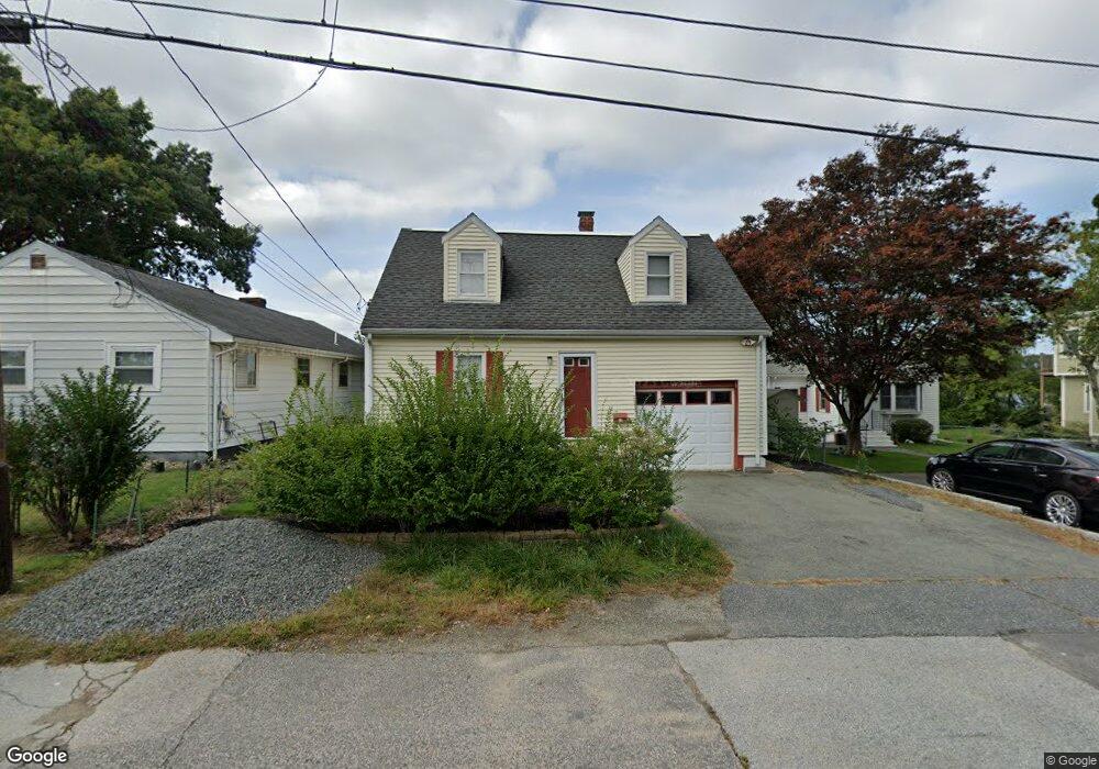
62 Hiawatha Ave Waltham, MA 02451
Lakeview NeighborhoodEstimated Value: $753,646 - $880,000
2
Beds
2
Baths
1,732
Sq Ft
$480/Sq Ft
Est. Value
About This Home
This home is located at 62 Hiawatha Ave, Waltham, MA 02451 and is currently estimated at $831,412, approximately $480 per square foot. 62 Hiawatha Ave is a home located in Middlesex County with nearby schools including Douglas Macarthur Elementary School, John F Kennedy Middle School, and Waltham Sr High School.
Ownership History
Date
Name
Owned For
Owner Type
Purchase Details
Closed on
Jan 26, 2018
Sold by
Moser Thuy D and Do Thuyduong
Bought by
Moser Philip S
Current Estimated Value
Purchase Details
Closed on
Jul 11, 2008
Sold by
Baker Curtis W and Stahl Judith E
Bought by
Do Thuy Duong
Home Financials for this Owner
Home Financials are based on the most recent Mortgage that was taken out on this home.
Original Mortgage
$334,000
Interest Rate
6.13%
Mortgage Type
Purchase Money Mortgage
Purchase Details
Closed on
Jun 11, 1996
Sold by
Anderson D
Bought by
Baker Curtis W
Home Financials for this Owner
Home Financials are based on the most recent Mortgage that was taken out on this home.
Original Mortgage
$146,700
Interest Rate
7.89%
Mortgage Type
Purchase Money Mortgage
Create a Home Valuation Report for This Property
The Home Valuation Report is an in-depth analysis detailing your home's value as well as a comparison with similar homes in the area
Home Values in the Area
Average Home Value in this Area
Purchase History
| Date | Buyer | Sale Price | Title Company |
|---|---|---|---|
| Moser Philip S | -- | -- | |
| Do Thuy Duong | $417,500 | -- | |
| Baker Curtis W | $154,500 | -- |
Source: Public Records
Mortgage History
| Date | Status | Borrower | Loan Amount |
|---|---|---|---|
| Previous Owner | Baker Curtis W | $325,450 | |
| Previous Owner | Baker Curtis W | $332,838 | |
| Previous Owner | Do Thuy Duong | $334,000 | |
| Previous Owner | Baker Curtis W | $146,700 |
Source: Public Records
Tax History Compared to Growth
Tax History
| Year | Tax Paid | Tax Assessment Tax Assessment Total Assessment is a certain percentage of the fair market value that is determined by local assessors to be the total taxable value of land and additions on the property. | Land | Improvement |
|---|---|---|---|---|
| 2025 | $6,546 | $666,600 | $384,800 | $281,800 |
| 2024 | $6,215 | $644,700 | $366,400 | $278,300 |
| 2023 | $6,197 | $600,500 | $334,600 | $265,900 |
| 2022 | $5,657 | $507,800 | $263,200 | $244,600 |
| 2021 | $5,592 | $494,000 | $263,200 | $230,800 |
| 2020 | $5,624 | $470,600 | $249,400 | $221,200 |
| 2019 | $5,446 | $430,200 | $235,000 | $195,200 |
| 2018 | $5,032 | $397,600 | $217,500 | $180,100 |
| 2017 | $4,741 | $377,500 | $197,400 | $180,100 |
| 2016 | $4,460 | $364,400 | $184,300 | $180,100 |
| 2015 | $4,279 | $325,900 | $173,200 | $152,700 |
Source: Public Records
Map
Nearby Homes
- 30 Wampum Ave
- 133 Lake St
- 129 Lake St
- 234 Lake St
- 249 Lake St
- 14 Piedmont Ave
- 30 Jacqueline Rd Unit C
- 98 Seminole Ave
- 65 Montclair Ave
- 28 Hillcrest St
- 15 Kings Way Unit 25
- 463 Lincoln St
- 44 Sachem St
- 28 College Farm Rd Unit 2
- 92 Milner St
- 1105 Lexington St Unit 102
- 11 Autumn Ln
- 15 Cedarcroft Ln
- 107 Clocktower Dr Unit 3302
- 87 Clocktower Dr Unit 2207
- 64 Hiawatha Ave
- 58 Hiawatha Ave
- 70 Hiawatha Ave
- 61 Hiawatha Ave
- 48 Hiawatha Ave
- 57 Hiawatha Ave
- 55 Hiawatha Ave
- 53 Hiawatha Ave
- 69 Hiawatha Ave
- 44 Hiawatha Ave
- 73 Hiawatha Ave
- 11 Indian Rd
- 19 Sioux Ave
- 10 Indian Rd
- 26 Sioux Ave
- 26 Sioux Ave
- 26 Sioux Ave Unit 26
- 26 Sioux Ave Unit *
- 26 Sioux Ave
- 34 Hiawatha Ave