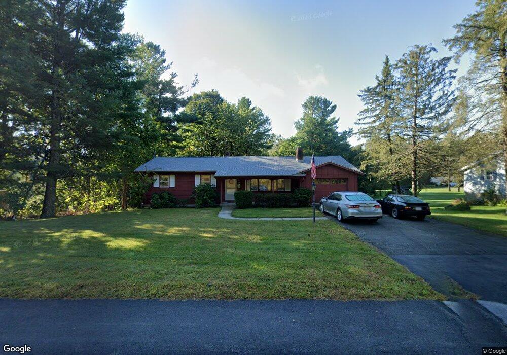
62 Holden Rd Paxton, MA 01612
Estimated Value: $432,000 - $463,000
3
Beds
1
Bath
1,288
Sq Ft
$344/Sq Ft
Est. Value
About This Home
This home is located at 62 Holden Rd, Paxton, MA 01612 and is currently estimated at $443,019, approximately $343 per square foot. 62 Holden Rd is a home located in Worcester County with nearby schools including Wachusett Regional High School and Holden Christian Academy.
Ownership History
Date
Name
Owned For
Owner Type
Purchase Details
Closed on
Sep 22, 1999
Sold by
Johnson Ronald E and Johnson Melinda A
Bought by
Wickstrom Curt B and Wickstrom Jean E
Current Estimated Value
Home Financials for this Owner
Home Financials are based on the most recent Mortgage that was taken out on this home.
Original Mortgage
$60,000
Interest Rate
8.1%
Mortgage Type
Purchase Money Mortgage
Create a Home Valuation Report for This Property
The Home Valuation Report is an in-depth analysis detailing your home's value as well as a comparison with similar homes in the area
Home Values in the Area
Average Home Value in this Area
Purchase History
| Date | Buyer | Sale Price | Title Company |
|---|---|---|---|
| Wickstrom Curt B | $132,000 | -- |
Source: Public Records
Mortgage History
| Date | Status | Borrower | Loan Amount |
|---|---|---|---|
| Open | Wickstrom Curt B | $59,750 | |
| Closed | Wickstrom Curt B | $60,000 | |
| Previous Owner | Wickstrom Curt B | $19,372 |
Source: Public Records
Tax History Compared to Growth
Tax History
| Year | Tax Paid | Tax Assessment Tax Assessment Total Assessment is a certain percentage of the fair market value that is determined by local assessors to be the total taxable value of land and additions on the property. | Land | Improvement |
|---|---|---|---|---|
| 2025 | $5,530 | $375,200 | $115,200 | $260,000 |
| 2024 | $5,755 | $358,100 | $115,200 | $242,900 |
| 2023 | $5,787 | $329,200 | $105,000 | $224,200 |
| 2022 | $5,569 | $293,400 | $105,000 | $188,400 |
| 2021 | $8,008 | $262,700 | $96,000 | $166,700 |
| 2020 | $1,981 | $254,300 | $87,600 | $166,700 |
| 2019 | $4,621 | $234,100 | $79,800 | $154,300 |
| 2018 | $4,241 | $207,600 | $73,000 | $134,600 |
| 2017 | $1,827 | $195,300 | $69,500 | $125,800 |
| 2016 | $3,681 | $178,800 | $69,500 | $109,300 |
| 2015 | $3,636 | $174,900 | $69,500 | $105,400 |
| 2014 | $3,538 | $172,500 | $69,700 | $102,800 |
Source: Public Records
Map
Nearby Homes