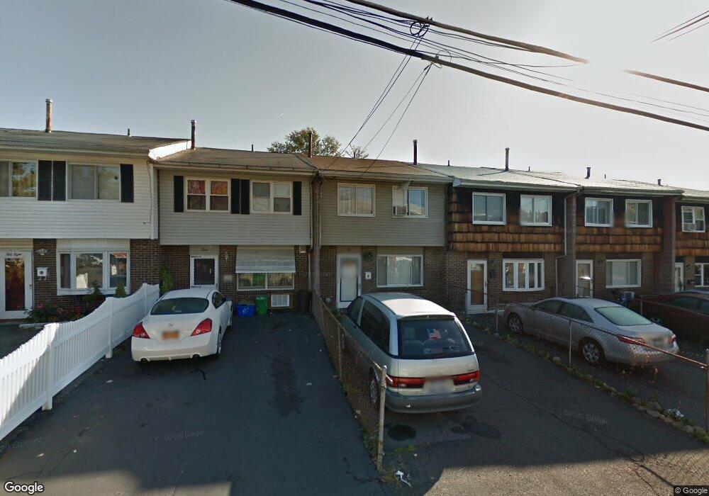
62 Kennedy Dr West Haverstraw, NY 10993
Estimated Value: $343,000 - $386,000
3
Beds
2
Baths
1,404
Sq Ft
$264/Sq Ft
Est. Value
About This Home
This home is located at 62 Kennedy Dr, West Haverstraw, NY 10993 and is currently estimated at $370,187, approximately $263 per square foot. 62 Kennedy Dr is a home located in Rockland County with nearby schools including West Haverstraw Elementary School, Haverstraw Elementary School, and Fieldstone Secondary School.
Ownership History
Date
Name
Owned For
Owner Type
Purchase Details
Closed on
Jul 10, 2020
Sold by
Nunez Jean Carlos Perez and Almonte Valeria
Bought by
Nunez Jean Carlos Perez
Current Estimated Value
Purchase Details
Closed on
Dec 29, 2016
Sold by
A G V Inc
Bought by
Perez Nunez Jean Carloz and Almonte Valeria
Purchase Details
Closed on
Apr 22, 1998
Sold by
Cuomo Andrew M
Bought by
Vigliotti Audrey
Purchase Details
Closed on
Nov 14, 1997
Sold by
Dale Mtg Bankers Corp
Bought by
Hud
Purchase Details
Closed on
Apr 21, 1997
Sold by
Goodfriend Esq Isaac
Bought by
Dale Mtg Bankers Corp
Create a Home Valuation Report for This Property
The Home Valuation Report is an in-depth analysis detailing your home's value as well as a comparison with similar homes in the area
Home Values in the Area
Average Home Value in this Area
Purchase History
| Date | Buyer | Sale Price | Title Company |
|---|---|---|---|
| Nunez Jean Carlos Perez | -- | None Available | |
| Perez Nunez Jean Carloz | $144,000 | Jade Abstract | |
| A G V Inc | -- | Jade Abstract | |
| Vigliotti Audrey | $56,000 | -- | |
| Hud | -- | First American Title Insuran | |
| Dale Mtg Bankers Corp | $118,607 | -- |
Source: Public Records
Tax History Compared to Growth
Tax History
| Year | Tax Paid | Tax Assessment Tax Assessment Total Assessment is a certain percentage of the fair market value that is determined by local assessors to be the total taxable value of land and additions on the property. | Land | Improvement |
|---|---|---|---|---|
| 2024 | $13,628 | $165,000 | $56,250 | $108,750 |
| 2023 | $13,628 | $165,000 | $56,250 | $108,750 |
| 2022 | $1,979 | $192,500 | $56,250 | $136,250 |
| 2021 | $13,459 | $192,500 | $56,250 | $136,250 |
| 2020 | $10,619 | $192,500 | $56,250 | $136,250 |
| 2019 | $2,014 | $192,500 | $56,250 | $136,250 |
| 2018 | $10,357 | $192,500 | $56,250 | $136,250 |
| 2017 | $9,778 | $192,500 | $56,250 | $136,250 |
| 2016 | $9,757 | $192,500 | $56,250 | $136,250 |
| 2015 | -- | $192,500 | $56,250 | $136,250 |
| 2014 | -- | $192,500 | $56,250 | $136,250 |
Source: Public Records
Map
Nearby Homes
- 31 Farley Dr
- 34 Brownsell Ave
- 34 Roosevelt Dr
- 16 Demarest Ave
- 12 Hillside Ave
- 40 N Route 9w
- 33 Overlook Rd
- 37 Prospect St
- 22 Ferracane Place
- 138 W Railroad Ave
- 25 Wayne Ave
- 3 N Wayne Ave
- 92 Benson St
- 27 N Wayne Ave
- 33 Muntz Ln
- 31 N Wayne Ave
- 2 Joseph St
- 160 Halgren Crescent
- 14 Lafayette St
- 10 Campbell Ct