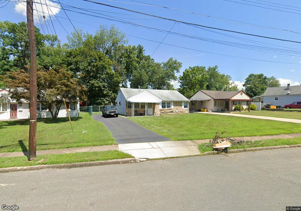
62 Lanning St Ewing, NJ 08618
Parkway Village NeighborhoodEstimated Value: $243,637 - $347,000
Studio
--
Bath
988
Sq Ft
$318/Sq Ft
Est. Value
About This Home
This home is located at 62 Lanning St, Ewing, NJ 08618 and is currently estimated at $314,409, approximately $318 per square foot. 62 Lanning St is a home located in Mercer County with nearby schools including Ewing High School, The Village Charter School, and Trenton Stem-To-Civics Charter School.
Ownership History
Date
Name
Owned For
Owner Type
Purchase Details
Closed on
Jun 15, 2017
Bought by
Wynn Dawn A
Current Estimated Value
Home Financials for this Owner
Home Financials are based on the most recent Mortgage that was taken out on this home.
Original Mortgage
$158,967
Outstanding Balance
$131,827
Interest Rate
3.91%
Estimated Equity
$182,582
Create a Home Valuation Report for This Property
The Home Valuation Report is an in-depth analysis detailing your home's value as well as a comparison with similar homes in the area
Home Values in the Area
Average Home Value in this Area
Purchase History
| Date | Buyer | Sale Price | Title Company |
|---|---|---|---|
| Wynn Dawn A | $161,900 | -- |
Source: Public Records
Mortgage History
| Date | Status | Borrower | Loan Amount |
|---|---|---|---|
| Open | Wynn Dawn A | $158,967 | |
| Closed | Wynn Dawn A | -- |
Source: Public Records
Tax History
| Year | Tax Paid | Tax Assessment Tax Assessment Total Assessment is a certain percentage of the fair market value that is determined by local assessors to be the total taxable value of land and additions on the property. | Land | Improvement |
|---|---|---|---|---|
| 2025 | $5,522 | $140,400 | $46,600 | $93,800 |
| 2024 | $5,191 | $140,400 | $46,600 | $93,800 |
Source: Public Records
Map
Nearby Homes
- 41 Harding St
- 71 Carlton Ave
- 1060 Terrace Blvd
- 20 Steinway Ave
- 126 Rutledge Ave
- 37 van Duyn Dr
- 33 Stratford Ave
- 51 van Duyn Dr
- 21 Dixmont Ave
- 6 Van Gogh Ct
- 161 Louisiana Ave
- 89 Upper Ferry Rd
- 140 Crescent Ave
- 120 Sussex St
- 37 Central Ave
- 24 Glen Stewart Dr
- 107 Kyle Way
- 18 Kyle Way
- 121 Kyle Way
- 59 Kyle Way
Your Personal Tour Guide
Ask me questions while you tour the home.