62 Lynn Myles Path Cleveland, GA 30528
Estimated Value: $386,000 - $506,000
3
Beds
2
Baths
2,372
Sq Ft
$184/Sq Ft
Est. Value
About This Home
This home is located at 62 Lynn Myles Path, Cleveland, GA 30528 and is currently estimated at $435,275, approximately $183 per square foot. 62 Lynn Myles Path is a home located in White County with nearby schools including Mount Yonah Elementary School, White County 9th Grade Academy, and White County Middle School.
Ownership History
Date
Name
Owned For
Owner Type
Purchase Details
Closed on
Aug 29, 2016
Sold by
Moose Stacey
Bought by
Freeman Timothy Ryan and Freeman Chelsea Kay
Current Estimated Value
Home Financials for this Owner
Home Financials are based on the most recent Mortgage that was taken out on this home.
Original Mortgage
$285,750
Outstanding Balance
$227,995
Interest Rate
3.48%
Mortgage Type
New Conventional
Estimated Equity
$207,280
Purchase Details
Closed on
Nov 4, 2014
Sold by
Bradley Mary S
Bought by
Alexander Billy
Purchase Details
Closed on
Jan 1, 2007
Sold by
Not Provided
Bought by
Bradley Mary S
Create a Home Valuation Report for This Property
The Home Valuation Report is an in-depth analysis detailing your home's value as well as a comparison with similar homes in the area
Home Values in the Area
Average Home Value in this Area
Purchase History
| Date | Buyer | Sale Price | Title Company |
|---|---|---|---|
| Freeman Timothy Ryan | $317,500 | -- | |
| Alexander Billy | $254,000 | -- | |
| Bradley Mary S | $299,900 | -- |
Source: Public Records
Mortgage History
| Date | Status | Borrower | Loan Amount |
|---|---|---|---|
| Open | Freeman Timothy Ryan | $285,750 |
Source: Public Records
Tax History Compared to Growth
Tax History
| Year | Tax Paid | Tax Assessment Tax Assessment Total Assessment is a certain percentage of the fair market value that is determined by local assessors to be the total taxable value of land and additions on the property. | Land | Improvement |
|---|---|---|---|---|
| 2025 | $2,854 | $138,888 | $19,040 | $119,848 |
| 2024 | $2,854 | $136,984 | $17,136 | $119,848 |
| 2023 | $2,728 | $120,276 | $15,232 | $105,044 |
| 2022 | $2,472 | $104,188 | $13,328 | $90,860 |
| 2021 | $2,221 | $82,824 | $10,644 | $72,180 |
| 2020 | $2,130 | $75,672 | $9,884 | $65,788 |
| 2019 | $2,136 | $75,672 | $9,884 | $65,788 |
| 2018 | $2,136 | $75,672 | $9,884 | $65,788 |
| 2017 | $1,972 | $70,500 | $9,884 | $60,616 |
| 2016 | $1,973 | $70,500 | $9,884 | $60,616 |
| 2015 | $1,709 | $160,020 | $8,960 | $55,048 |
| 2014 | $1,709 | $159,700 | $0 | $0 |
Source: Public Records
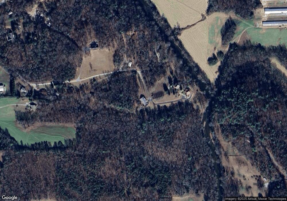
Map
Nearby Homes
- 22 Ridge Haven Dr
- 244 Stonehedge Dr
- 67 Rainbow Cir
- 125 Rainbow Cir
- 125 AND 87 Rainbow Cir
- 474 White Pine Cir
- 239 Cool Springs Lot #8 Rd
- 239 Cool Springs Rd Unit LOT 8
- 2123 Goat Neck Rd
- 2446 Dean Mountain Rd
- 922 Amys Ford Trail
- 69 Blue Creek Cove
- 125 Sang Springs Trail
- LOT 1 - Arthur Allen Rd
- LOT 1 Arthur Allen Rd
- 1200 Roy Powers Rd
- 1000 Preacher Campbell Rd
- 0 River Forest Run Unit 10615697
- 280 Stonebank Rd
- 0 Waterside Trail Unit 10497096
- 0 Lynn Myles Path
- 65 Lynn Myles Path
- 67 Lynn Myles Path
- 485 Stone Hedge Dr
- 64 Ridge Haven Dr
- 305 Stone Hedge Dr
- 280 Stone Hedge Dr
- 116 Ridge Haven Dr
- 104 Ridge Haven Dr
- 0 Stonehedge Dr Unit 8969397
- 244 Stone Hedge Dr Unit 2
- 244 Stone Hedge Dr
- 1075 Alfred Taylor Rd Unit 1,2,3
- 1075 Alfred Taylor Rd
- 4918 Highway 255 S
- 206 Stone Hedge Dr Unit 1
- 206 Stone Hedge Dr
- 5210 Highway 255 S
- 5210 Highway 255 S