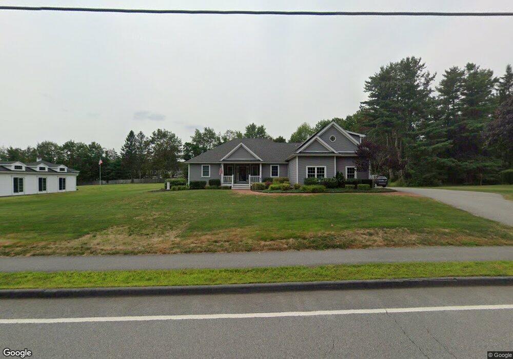
62 Maple Ave Rutland, MA 01543
Estimated Value: $557,000 - $817,000
3
Beds
2
Baths
3,225
Sq Ft
$219/Sq Ft
Est. Value
About This Home
This home is located at 62 Maple Ave, Rutland, MA 01543 and is currently estimated at $707,791, approximately $219 per square foot. 62 Maple Ave is a home located in Worcester County with nearby schools including Wachusett Regional High School.
Ownership History
Date
Name
Owned For
Owner Type
Purchase Details
Closed on
Aug 19, 2013
Sold by
Millette Philip R
Bought by
Millette Philip R and Cutler Constance M
Current Estimated Value
Purchase Details
Closed on
Jun 17, 2013
Sold by
Gaskell Beatrice I
Bought by
Millette Philip R
Purchase Details
Closed on
Mar 30, 2005
Sold by
Mixter Dolores J
Bought by
Gaskell Beatrice I and Mixter Dolores J
Purchase Details
Closed on
Mar 10, 2004
Sold by
Fatoullah Elice
Bought by
Mixter Dolores J
Create a Home Valuation Report for This Property
The Home Valuation Report is an in-depth analysis detailing your home's value as well as a comparison with similar homes in the area
Home Values in the Area
Average Home Value in this Area
Purchase History
| Date | Buyer | Sale Price | Title Company |
|---|---|---|---|
| Millette Philip R | -- | -- | |
| Millette Philip R | -- | -- | |
| Gaskell Beatrice I | -- | -- | |
| Mixter Dolores J | -- | -- |
Source: Public Records
Tax History
| Year | Tax Paid | Tax Assessment Tax Assessment Total Assessment is a certain percentage of the fair market value that is determined by local assessors to be the total taxable value of land and additions on the property. | Land | Improvement |
|---|---|---|---|---|
| 2025 | $9,632 | $676,400 | $92,000 | $584,400 |
| 2024 | $10,989 | $741,000 | $87,900 | $653,100 |
| 2023 | $10,191 | $742,800 | $82,900 | $659,900 |
| 2022 | $9,812 | $621,400 | $69,800 | $551,600 |
| 2021 | $9,193 | $550,500 | $69,800 | $480,700 |
| 2020 | $9,599 | $545,100 | $66,100 | $479,000 |
| 2019 | $9,297 | $519,700 | $63,000 | $456,700 |
| 2018 | $8,857 | $488,500 | $63,000 | $425,500 |
| 2017 | $8,625 | $470,800 | $63,000 | $407,800 |
| 2016 | $8,477 | $488,000 | $60,600 | $427,400 |
| 2015 | $7,731 | $438,000 | $60,600 | $377,400 |
| 2014 | $4,421 | $258,400 | $60,600 | $197,800 |
Source: Public Records
Map
Nearby Homes
- 6 Lewis St
- 12 Lewis St
- 28 Forest Hill Dr
- 11 Lewis St
- 21 Lewis St
- 27 Lewis St
- 22 Village Way
- 85 Maple Ave Unit A
- 210 Fidelity Dr Unit 84
- 212 Fidelity Dr Unit 83
- 10 Fidelity Dr Unit 5
- 12 Fidelity Dr Unit 6
- 39 Laurelwood Rd
- 18 Fidelity Dr Unit 9
- 20 Fidelity Dr Unit 10
- 15 Fidelity Dr Unit 70
- 20 Fernwood Dr
- 176 Maple Ave Unit 7-21
- 176 Maple Ave Unit 3-2
- 176 Maple Ave Unit 4-6
- 66 Maple Ave
- 60 Maple Ave
- 14 Forest Hill Dr
- 16 Forest Hill Dr
- 68 Maple Ave
- 63 Maple Ave
- 59 Maple Ave
- 10 Forest Hill Dr
- 58 Maple Ave
- 65 Maple Ave
- 20 Forest Hill Dr
- 57 Maple Ave
- 57 Maple Ave Unit D
- 57 Maple Ave Unit C
- 57 Maple Ave Unit B
- 13 Forest Hill Dr
- 67 Maple Ave
- 15 Forest Hill Dr
- 22 Forest Hill Dr
- 2 Forest Hill Dr
Your Personal Tour Guide
Ask me questions while you tour the home.