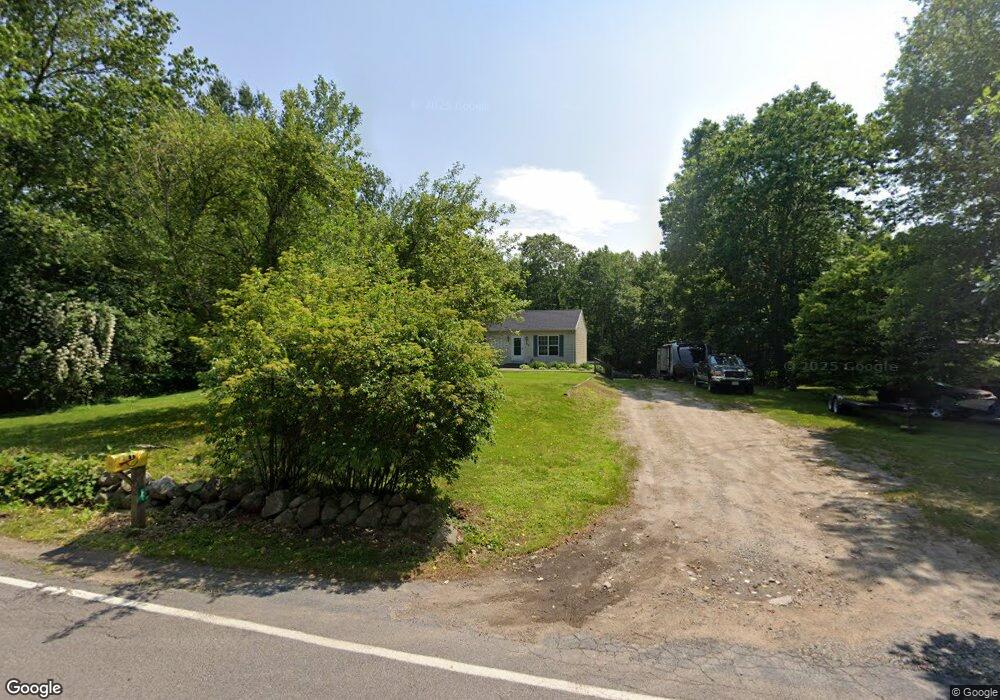
62 Massapoag Ave North Easton, MA 02356
Estimated Value: $581,000 - $636,000
3
Beds
1
Bath
1,144
Sq Ft
$533/Sq Ft
Est. Value
About This Home
This home is located at 62 Massapoag Ave, North Easton, MA 02356 and is currently estimated at $610,282, approximately $533 per square foot. 62 Massapoag Ave is a home located in Bristol County with nearby schools including Easton Middle School and St Mary's Catholic School.
Ownership History
Date
Name
Owned For
Owner Type
Purchase Details
Closed on
Jun 13, 2006
Sold by
Rego David L
Bought by
Massapoag Rt and Rego
Current Estimated Value
Create a Home Valuation Report for This Property
The Home Valuation Report is an in-depth analysis detailing your home's value as well as a comparison with similar homes in the area
Home Values in the Area
Average Home Value in this Area
Purchase History
| Date | Buyer | Sale Price | Title Company |
|---|---|---|---|
| Massapoag Rt | -- | -- | |
| Massapoag Rt | -- | -- |
Source: Public Records
Mortgage History
| Date | Status | Borrower | Loan Amount |
|---|---|---|---|
| Previous Owner | Massapoag Rt | $82,000 | |
| Previous Owner | Massapoag Rt | $80,000 |
Source: Public Records
Tax History Compared to Growth
Tax History
| Year | Tax Paid | Tax Assessment Tax Assessment Total Assessment is a certain percentage of the fair market value that is determined by local assessors to be the total taxable value of land and additions on the property. | Land | Improvement |
|---|---|---|---|---|
| 2025 | $6,760 | $541,700 | $369,400 | $172,300 |
| 2024 | $6,953 | $520,800 | $348,500 | $172,300 |
| 2023 | $7,066 | $484,300 | $348,500 | $135,800 |
| 2022 | $6,395 | $415,500 | $284,700 | $130,800 |
| 2021 | $6,042 | $390,300 | $259,500 | $130,800 |
| 2020 | $5,851 | $380,400 | $249,600 | $130,800 |
| 2019 | $5,905 | $370,000 | $249,000 | $121,000 |
| 2018 | $5,787 | $357,000 | $249,000 | $108,000 |
| 2017 | $5,748 | $354,400 | $249,000 | $105,400 |
| 2016 | $5,684 | $351,100 | $249,600 | $101,500 |
| 2015 | $5,069 | $302,100 | $203,200 | $98,900 |
| 2014 | $5,098 | $306,200 | $206,000 | $100,200 |
Source: Public Records
Map
Nearby Homes
- 89 Massapoag Ave
- 29 Owl Ridge Rd
- 98 Massapoag Ave
- 34 Kevins Way
- 23 Estelle Marsan Dr
- 218 Massapoag Ave
- 55 Eastman St
- 6 Kingsley Rd
- 4 Plantation Rd
- 260 Massapoag Ave
- 30 King Arthur Rd
- 37 Kingsley Rd
- 555 Foundry St Unit B
- 16 Erick Rd Unit 34
- 15 Randall Farm Dr
- 23 Cutter Dr
- Starling Plan at Sawmill Village
- Mallard Plan at Sawmill Village
- Goldfinch Plan at Sawmill Village
- Falcon Plan at Sawmill Village
- 66 Massapoag Ave
- 58 Massapoag Ave
- 3 Corey Dr
- 3 Corey Dr Unit 1
- 54 Massapoag Ave
- 1 Corey Dr
- 57 Massapoag Ave
- 69 Massapoag Ave
- 51 Massapoag Ave
- Lot 4 Corey Ave
- 5 Corey Dr
- 73 Massapoag Ave
- 44 Massapoag Ave
- 6 Corey Dr
- 40 Massapoag Ave
- 9 Corey Dr
- 36 Massapoag Ave
- 77 Massapoag Ave
- 32 Massapoag Ave
- 81 Massapoag Ave