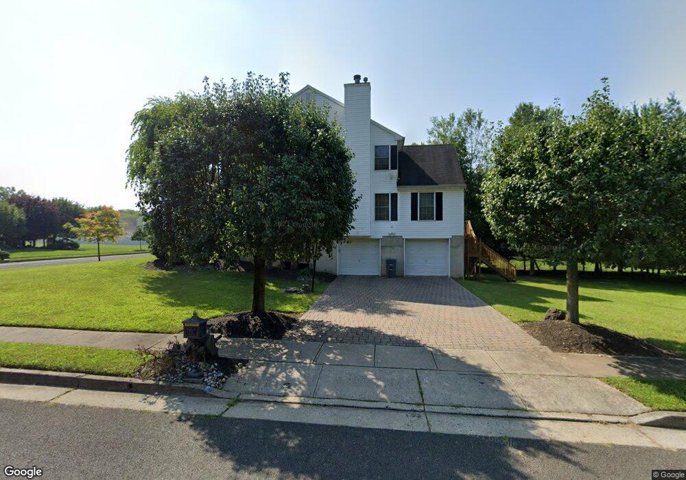
62 Mayercik Ct Edison, NJ 08820
Estimated Value: $960,730 - $1,422,000
Studio
--
Bath
2,854
Sq Ft
$421/Sq Ft
Est. Value
About This Home
This home is located at 62 Mayercik Ct, Edison, NJ 08820 and is currently estimated at $1,200,933, approximately $420 per square foot. 62 Mayercik Ct is a home located in Middlesex County with nearby schools including Woodbrook Elementary School, Woodrow Wilson Middle School, and J.P. Stevens High School.
Ownership History
Date
Name
Owned For
Owner Type
Purchase Details
Closed on
Mar 13, 2014
Sold by
Ross Arnold and Ross Ginny
Bought by
Ross Ginny
Current Estimated Value
Purchase Details
Closed on
Apr 20, 1998
Sold by
Ferraro Bldg Assoc Inc
Bought by
Deshpande Shantanu and Deshpande Rashmy
Home Financials for this Owner
Home Financials are based on the most recent Mortgage that was taken out on this home.
Original Mortgage
$255,000
Interest Rate
7.11%
Create a Home Valuation Report for This Property
The Home Valuation Report is an in-depth analysis detailing your home's value as well as a comparison with similar homes in the area
Home Values in the Area
Average Home Value in this Area
Purchase History
| Date | Buyer | Sale Price | Title Company |
|---|---|---|---|
| Ross Ginny | -- | None Available | |
| Deshpande Shantanu | $318,600 | -- |
Source: Public Records
Mortgage History
| Date | Status | Borrower | Loan Amount |
|---|---|---|---|
| Previous Owner | Deshpande Shantanu | $255,000 |
Source: Public Records
Tax History
| Year | Tax Paid | Tax Assessment Tax Assessment Total Assessment is a certain percentage of the fair market value that is determined by local assessors to be the total taxable value of land and additions on the property. | Land | Improvement |
|---|---|---|---|---|
| 2025 | $17,776 | $298,600 | $98,300 | $200,300 |
| 2024 | $17,680 | $298,600 | $98,300 | $200,300 |
| 2023 | $17,680 | $298,600 | $98,300 | $200,300 |
| 2022 | $17,686 | $298,600 | $98,300 | $200,300 |
| 2021 | $16,969 | $298,600 | $98,300 | $200,300 |
| 2020 | $17,465 | $298,600 | $98,300 | $200,300 |
| 2019 | $16,148 | $298,600 | $98,300 | $200,300 |
| 2018 | $16,399 | $298,600 | $98,300 | $200,300 |
| 2017 | $16,053 | $298,600 | $98,300 | $200,300 |
| 2016 | $15,097 | $298,600 | $98,300 | $200,300 |
| 2015 | $14,524 | $298,600 | $98,300 | $200,300 |
| 2014 | $14,112 | $298,600 | $98,300 | $200,300 |
Source: Public Records
Map
Nearby Homes
- 114 Coppertree Ct
- 36 Ravenswood Ct
- 35 Carriage Place
- 83 Sagamore Ave S
- 28 Nicole Terrace
- 21 Newburgh Dr
- 150 Prestwick Way Unit 150
- 191 Prestwick Way
- 85 Inverness Dr
- 3851 Park Ave
- 8 Stephenville Pkwy
- 4 David Ct
- 3788 Park Ave
- 3774 Park Ave Unit 1
- 15 Hearthstone Dr
- 21 Williams Rd
- 64 Richard Rd
- 800 Kenneth Ave Unit 1
- 800 Kenneth Ave
- 99 Kelly Dr
- 58 Mayercik Ct
- 6 Mayercik Ct
- 11 Mayercik Ct
- 2 Mayercik Ct
- 10 Mayercik Ct
- 14 Mayercik Ct
- 19 Mayercik Ct
- 18 Mayercik Ct
- 49 Mayercik Ct
- 54 Mayercik Ct
- 31 Mayercik Ct
- 50 Mayercik Ct
- 22 Mayercik Ct
- 26 Mayercik Ct
- 46-46 N 46 Mayercik Ct
- 30 Mayercik Ct
- 46 Mayercik Ct
- 42 Mayercik Ct
- 38 Mayercik Ct
- 34 Mayercik Ct
Your Personal Tour Guide
Ask me questions while you tour the home.