62 Morrill Rd Livermore, ME 04253
Estimated Value: $367,000 - $636,000
--
Bed
--
Bath
918
Sq Ft
$482/Sq Ft
Est. Value
About This Home
This home is located at 62 Morrill Rd, Livermore, ME 04253 and is currently estimated at $442,502, approximately $482 per square foot. 62 Morrill Rd is a home with nearby schools including Spruce Mountain Primary School, Spruce Mountain Elementary School, and Spruce Mountain Middle School.
Ownership History
Date
Name
Owned For
Owner Type
Purchase Details
Closed on
Apr 25, 2021
Sold by
Leanhart Ted L
Bought by
Harmatys Robert and Harmatys Rebecca
Current Estimated Value
Purchase Details
Closed on
Oct 1, 2019
Sold by
Lee Dennis J
Bought by
Harmatys Robert J
Purchase Details
Closed on
Jul 8, 2008
Sold by
Harmatys Robert
Bought by
Harmatys Robert and Harmatys Rebecca
Home Financials for this Owner
Home Financials are based on the most recent Mortgage that was taken out on this home.
Original Mortgage
$165,000
Interest Rate
6.01%
Mortgage Type
Unknown
Create a Home Valuation Report for This Property
The Home Valuation Report is an in-depth analysis detailing your home's value as well as a comparison with similar homes in the area
Home Values in the Area
Average Home Value in this Area
Purchase History
| Date | Buyer | Sale Price | Title Company |
|---|---|---|---|
| Harmatys Robert | -- | None Available | |
| Harmatys Robert J | -- | -- | |
| Harmatys Robert | -- | -- |
Source: Public Records
Mortgage History
| Date | Status | Borrower | Loan Amount |
|---|---|---|---|
| Previous Owner | Harmatys Robert | $165,000 |
Source: Public Records
Tax History Compared to Growth
Tax History
| Year | Tax Paid | Tax Assessment Tax Assessment Total Assessment is a certain percentage of the fair market value that is determined by local assessors to be the total taxable value of land and additions on the property. | Land | Improvement |
|---|---|---|---|---|
| 2025 | $5,911 | $312,741 | $137,060 | $175,681 |
| 2024 | $5,348 | $312,741 | $137,060 | $175,681 |
| 2023 | $5,082 | $312,741 | $137,060 | $175,681 |
| 2022 | $5,004 | $312,741 | $137,060 | $175,681 |
| 2021 | $5,004 | $312,741 | $137,060 | $175,681 |
| 2020 | $4,179 | $274,023 | $136,250 | $137,773 |
| 2019 | $3,925 | $241,511 | $132,250 | $109,261 |
| 2018 | $3,864 | $241,511 | $132,250 | $109,261 |
| 2017 | $3,961 | $241,511 | $132,250 | $109,261 |
| 2016 | $3,754 | $234,643 | $125,382 | $109,261 |
| 2015 | $3,754 | $234,643 | $125,382 | $109,261 |
| 2014 | $3,311 | $233,142 | $123,881 | $109,261 |
Source: Public Records
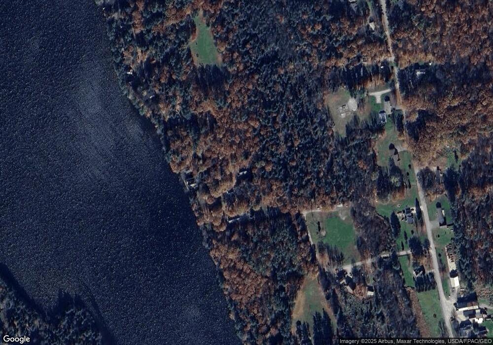
Map
Nearby Homes
- 55 Morrill Rd
- 59 Morrill Rd
- 27 Ouellette Rd
- 18 Boy Scout Rd
- 189 Gibbs Mill Rd
- 25 Ouellette Rd
- 209 Gibbs Mill Rd
- 201 Gibbs Mill Rd
- 175 Gibbs Mill Rd
- 190 Gibbs Mill Rd
- 198 Gibbs Mill Rd
- lot 2 Gibbs Mill Rd
- 221 Gibbs Mill Rd
- 178 Gibbs Mill Rd
- 210 Gibbs Mill Rd
- 52 Haynorville Rd
- 155 Gibbs Mill Rd
- 24 Haynorville Rd
- 62 Haynorville Rd
- 0 Emmons