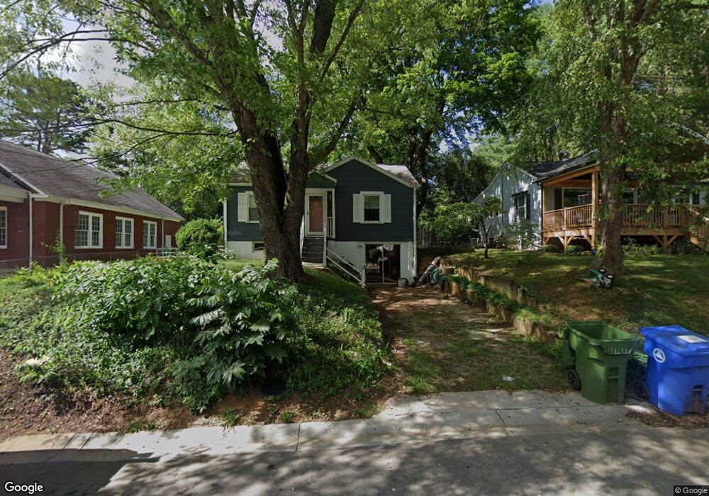
62 Morris St Asheville, NC 28806
West Asheville NeighborhoodEstimated Value: $356,000 - $380,000
2
Beds
1
Bath
775
Sq Ft
$473/Sq Ft
Est. Value
About This Home
This home is located at 62 Morris St, Asheville, NC 28806 and is currently estimated at $366,606, approximately $473 per square foot. 62 Morris St is a home located in Buncombe County with nearby schools including Hall Fletcher Elementary, Isaac Dickson Elementary, and Ira B Jones Elementary.
Ownership History
Date
Name
Owned For
Owner Type
Purchase Details
Closed on
Apr 24, 2003
Sold by
Ledford Karen Kendall and Ledford Gregory
Bought by
Cloninger M Charles
Current Estimated Value
Home Financials for this Owner
Home Financials are based on the most recent Mortgage that was taken out on this home.
Original Mortgage
$97,000
Outstanding Balance
$41,211
Interest Rate
5.6%
Mortgage Type
Unknown
Estimated Equity
$325,395
Purchase Details
Closed on
Sep 29, 1997
Sold by
Reyer Cyndy M
Bought by
Kendall
Create a Home Valuation Report for This Property
The Home Valuation Report is an in-depth analysis detailing your home's value as well as a comparison with similar homes in the area
Home Values in the Area
Average Home Value in this Area
Purchase History
| Date | Buyer | Sale Price | Title Company |
|---|---|---|---|
| Cloninger M Charles | $98,000 | -- | |
| Kendall | $66,500 | -- |
Source: Public Records
Mortgage History
| Date | Status | Borrower | Loan Amount |
|---|---|---|---|
| Open | Cloninger M Charles | $97,000 |
Source: Public Records
Tax History Compared to Growth
Tax History
| Year | Tax Paid | Tax Assessment Tax Assessment Total Assessment is a certain percentage of the fair market value that is determined by local assessors to be the total taxable value of land and additions on the property. | Land | Improvement |
|---|---|---|---|---|
| 2025 | $2,324 | $225,000 | $122,900 | $102,100 |
| 2024 | $2,324 | $225,000 | $122,900 | $102,100 |
| 2023 | $2,324 | $225,000 | $122,900 | $102,100 |
| 2022 | $2,244 | $225,000 | $0 | $0 |
| 2021 | $2,244 | $225,000 | $0 | $0 |
| 2020 | $2,005 | $186,000 | $0 | $0 |
| 2019 | $2,005 | $186,000 | $0 | $0 |
| 2018 | $2,005 | $186,000 | $0 | $0 |
| 2017 | $2,023 | $118,400 | $0 | $0 |
| 2016 | $1,455 | $118,400 | $0 | $0 |
| 2015 | $1,455 | $118,400 | $0 | $0 |
| 2014 | $1,437 | $118,400 | $0 | $0 |
Source: Public Records
Map
Nearby Homes
- 9999 Rex Dr
- 12 Rex Dr
- 12 & 9999 Rex Dr
- 59 Morningside Dr
- 15 Perdue Place
- 42 Talmadge St
- 43 Vermont Ct Unit D14
- 59 Greeley St
- 89 Galax Ave
- 162 Morningside Dr
- 56 Brevard Rd
- 91 Virginia Ave
- 269 Virginia Ave
- 99 Nevada Ave
- 42 Salola St
- 32 Harnett St
- 30 Sand Hill Rd
- 18 Sand Hill Rd
- 75 Nevada Ave
- 18 Jarrett St