62 Outlaw Trail Maysville, WV 26833
Estimated Value: $89,000 - $158,000
2
Beds
1
Bath
768
Sq Ft
$164/Sq Ft
Est. Value
About This Home
This home is located at 62 Outlaw Trail, Maysville, WV 26833 and is currently estimated at $125,787, approximately $163 per square foot. 62 Outlaw Trail is a home located in Grant County with nearby schools including Maysville Elementary School and Petersburg High School.
Ownership History
Date
Name
Owned For
Owner Type
Purchase Details
Closed on
Sep 26, 2023
Sold by
Tuning Hayward Leo
Bought by
Whetzel Eugene A and Whetzel Keisha E
Current Estimated Value
Home Financials for this Owner
Home Financials are based on the most recent Mortgage that was taken out on this home.
Original Mortgage
$95,502
Outstanding Balance
$93,295
Interest Rate
6.96%
Mortgage Type
Credit Line Revolving
Estimated Equity
$32,492
Create a Home Valuation Report for This Property
The Home Valuation Report is an in-depth analysis detailing your home's value as well as a comparison with similar homes in the area
Home Values in the Area
Average Home Value in this Area
Purchase History
| Date | Buyer | Sale Price | Title Company |
|---|---|---|---|
| Whetzel Eugene A | $90,000 | None Listed On Document |
Source: Public Records
Mortgage History
| Date | Status | Borrower | Loan Amount |
|---|---|---|---|
| Open | Whetzel Eugene A | $95,502 |
Source: Public Records
Tax History Compared to Growth
Tax History
| Year | Tax Paid | Tax Assessment Tax Assessment Total Assessment is a certain percentage of the fair market value that is determined by local assessors to be the total taxable value of land and additions on the property. | Land | Improvement |
|---|---|---|---|---|
| 2025 | $359 | $46,140 | $14,460 | $31,680 |
| 2024 | $217 | $46,980 | $14,460 | $32,520 |
| 2023 | $209 | $46,020 | $14,460 | $31,560 |
| 2022 | $208 | $45,960 | $14,460 | $31,500 |
| 2021 | $204 | $45,360 | $14,460 | $30,900 |
| 2020 | $200 | $44,880 | $14,460 | $30,420 |
| 2019 | $171 | $45,240 | $14,460 | $30,780 |
| 2018 | $174 | $45,660 | $14,460 | $31,200 |
| 2017 | $177 | $46,020 | $14,460 | $31,560 |
| 2016 | $315 | $46,380 | $14,460 | $31,920 |
| 2015 | $303 | $44,640 | $14,460 | $30,180 |
| 2014 | $305 | $44,940 | $14,460 | $30,480 |
Source: Public Records
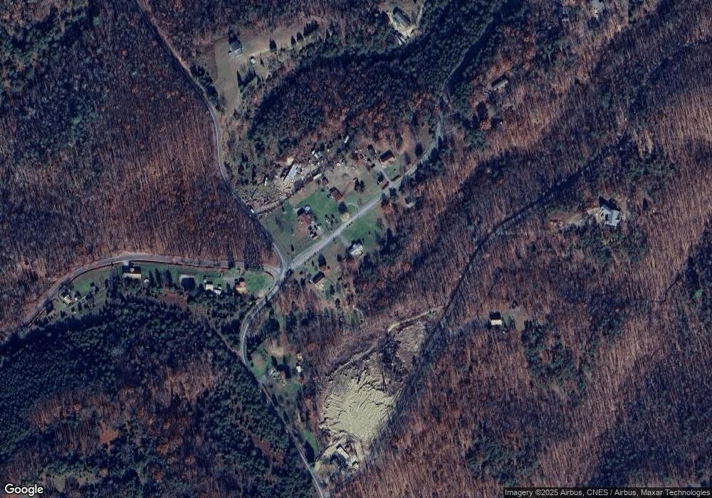
Map
Nearby Homes
- 13 Hunrish Ln
- 7652 Morgantown Rd
- 547 Haven Farms Cir
- 2467 Roby Rd
- 0 Roby Rd
- 4645 Lower Knobley Rd
- 19 Swan Rd
- 307 Earl Barr Ln
- 523 Gloryridge Dr
- 1294 Winding Ln
- 1602 Walnut Bottom Hideaway
- 1039 High Point Dr
- 479 Frosty Hollow Rd
- 133 Upper Hawk Ridge Rd
- 228 Meadow Ridge Dr
- 401 Nighthawk Dr
- 361 Clarks View Dr
- 93 Adare Ln
- 230 Polar Bear Rd
- 140 Jacob Dr
- 62 Badlands Ranches Sub Divide
- 22 Outlaw Trail
- 6 Outlaw Trail
- Lot 2 Pylor Way
- 116 Outlaw Trail
- 123 Outlaw Trail
- 2544 Possum Hollow Rd
- 9.08 ac Pylor Way
- 11.7 ac Pylor Way
- Lot 1 Pylor Way
- 5876 Morgantown Rd
- 188 Pylor Way
- 44 Ambush Dr
- Lot 4 Pylor Way
- 8.01ac Pylor Way
- 5796 Morgantown Rd
- 67 Ambush Dr
- 2452 Possum Hollow Rd
- 6114 Morgantown Rd
- 367 Outlaw Trail