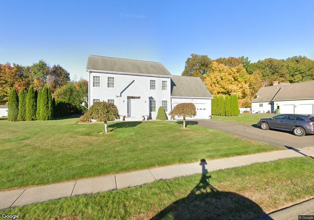
62 Owens Way Bristol, CT 06010
North Bristol NeighborhoodEstimated Value: $564,000 - $721,000
4
Beds
3
Baths
2,426
Sq Ft
$265/Sq Ft
Est. Value
About This Home
This home is located at 62 Owens Way, Bristol, CT 06010 and is currently estimated at $643,902, approximately $265 per square foot. 62 Owens Way is a home located in Hartford County with nearby schools including West Bristol Sch, Bristol Central High School, and St. Joseph School.
Ownership History
Date
Name
Owned For
Owner Type
Purchase Details
Closed on
Aug 19, 2004
Sold by
M&P Developers Llc
Bought by
Filak Andrzej and Filak Maria
Current Estimated Value
Home Financials for this Owner
Home Financials are based on the most recent Mortgage that was taken out on this home.
Original Mortgage
$160,000
Outstanding Balance
$79,500
Interest Rate
6.03%
Estimated Equity
$564,402
Purchase Details
Closed on
Oct 2, 2003
Sold by
Costello James R and Costello Tara L
Bought by
M & P Developers Llc
Create a Home Valuation Report for This Property
The Home Valuation Report is an in-depth analysis detailing your home's value as well as a comparison with similar homes in the area
Home Values in the Area
Average Home Value in this Area
Purchase History
| Date | Buyer | Sale Price | Title Company |
|---|---|---|---|
| Filak Andrzej | $369,900 | -- | |
| M & P Developers Llc | $92,000 | -- |
Source: Public Records
Mortgage History
| Date | Status | Borrower | Loan Amount |
|---|---|---|---|
| Open | M & P Developers Llc | $160,000 |
Source: Public Records
Tax History Compared to Growth
Tax History
| Year | Tax Paid | Tax Assessment Tax Assessment Total Assessment is a certain percentage of the fair market value that is determined by local assessors to be the total taxable value of land and additions on the property. | Land | Improvement |
|---|---|---|---|---|
| 2025 | $9,717 | $287,910 | $53,480 | $234,430 |
| 2024 | $9,141 | $287,000 | $53,480 | $233,520 |
| 2023 | $8,710 | $287,000 | $53,480 | $233,520 |
| 2022 | $8,045 | $209,790 | $41,300 | $168,490 |
| 2021 | $8,045 | $209,790 | $41,300 | $168,490 |
| 2020 | $8,045 | $209,790 | $41,300 | $168,490 |
| 2019 | $7,983 | $209,790 | $41,300 | $168,490 |
| 2018 | $7,737 | $209,790 | $41,300 | $168,490 |
| 2017 | $7,554 | $209,650 | $58,940 | $150,710 |
| 2016 | $7,554 | $209,650 | $58,940 | $150,710 |
| 2015 | $7,256 | $209,650 | $58,940 | $150,710 |
| 2014 | $7,256 | $209,650 | $58,940 | $150,710 |
Source: Public Records
Map
Nearby Homes
- 323 Baldwin Dr
- 62 (Lot 13-1) James P Casey Rd
- 49 Pondview Ln
- 245 Glendale Dr
- 191 Glendale Dr
- 120 Claire St
- 0 Hart St Unit 170255530
- 66 Claire St
- 1970 Perkins St
- 123 El Toro Dr
- 56 Maheu St
- 51 Pine Meadow Dr
- 39 Pine Meadow Dr
- 6 El Toro Dr
- 35 James P Casey Rd
- 40 Lardner Rd
- 329 Burlington Ave
- 848 Burlington Ave
- 116 Old Cider Mill Rd
- 27 Partridge Run