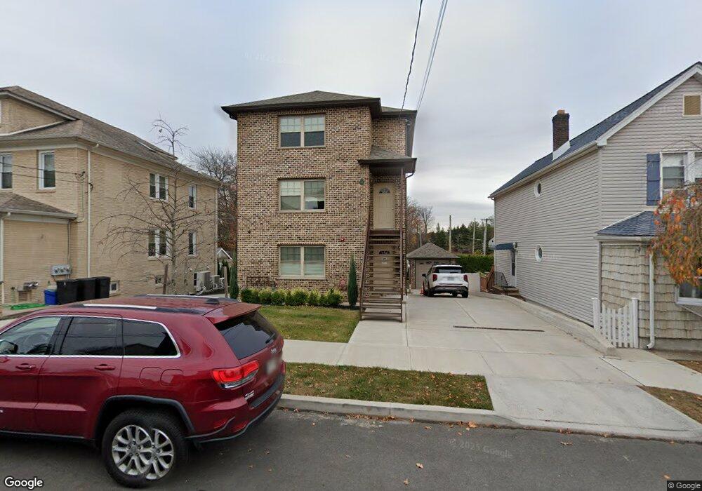
62 Parkinson Ave Staten Island, NY 10305
Grasmere NeighborhoodEstimated Value: $955,000 - $1,358,000
--
Bed
--
Bath
3,001
Sq Ft
$389/Sq Ft
Est. Value
About This Home
This home is located at 62 Parkinson Ave, Staten Island, NY 10305 and is currently estimated at $1,166,333, approximately $388 per square foot. 62 Parkinson Ave is a home located in Richmond County with nearby schools including P.S. 48 - William C. Wilcox, I.S. 49 Berta A Dreyfus, and Curtis High School.
Ownership History
Date
Name
Owned For
Owner Type
Purchase Details
Closed on
Nov 23, 2021
Sold by
Grasmere Holding Corp
Bought by
Caj Property Management Llc
Current Estimated Value
Purchase Details
Closed on
Feb 12, 2020
Sold by
Gambino John
Bought by
Grasmere Holding Corp
Purchase Details
Closed on
Aug 8, 2014
Sold by
Kormann Alice and Schmeider Rose
Bought by
Gambino John
Purchase Details
Closed on
Jan 23, 2014
Sold by
Schmeider Rose
Bought by
Kormann Alice and Schmeider Rose
Purchase Details
Closed on
Jan 31, 2013
Sold by
Malaspina Ann
Bought by
Schmeider Rose
Purchase Details
Closed on
Dec 12, 2005
Sold by
Kormann Alice and Ferrugiaro Louis
Bought by
Malaspina Ann and Kormann Alice
Create a Home Valuation Report for This Property
The Home Valuation Report is an in-depth analysis detailing your home's value as well as a comparison with similar homes in the area
Home Values in the Area
Average Home Value in this Area
Purchase History
| Date | Buyer | Sale Price | Title Company |
|---|---|---|---|
| Caj Property Management Llc | -- | None Available | |
| Grasmere Holding Corp | -- | Judicial Title | |
| Gambino John | $50,000 | The Judicial Title Insurance | |
| Kormann Alice | -- | None Available | |
| Schmeider Rose | -- | None Available | |
| Malaspina Ann | -- | None Available | |
| Malaspina Ann | -- | None Available |
Source: Public Records
Tax History Compared to Growth
Tax History
| Year | Tax Paid | Tax Assessment Tax Assessment Total Assessment is a certain percentage of the fair market value that is determined by local assessors to be the total taxable value of land and additions on the property. | Land | Improvement |
|---|---|---|---|---|
| 2025 | $11,619 | $72,420 | $19,864 | $52,556 |
| 2024 | $11,619 | $67,620 | $13,688 | $53,932 |
| 2023 | $2,623 | $12,913 | $12,913 | $0 |
| 2022 | $2,432 | $23,460 | $23,460 | $0 |
| 2021 | $2,536 | $23,400 | $23,400 | $0 |
| 2020 | $2,999 | $24,600 | $24,600 | $0 |
| 2019 | $2,795 | $25,920 | $25,920 | $0 |
| 2018 | $0 | $10,152 | $10,152 | $0 |
| 2017 | $2,069 | $10,152 | $10,152 | $0 |
| 2016 | $2,007 | $10,040 | $10,040 | $0 |
| 2015 | $1,155 | $9,500 | $9,500 | $0 |
Source: Public Records
Map
Nearby Homes
- 69 Fayette Ave
- 25 Marie St
- 23 Marie St
- 39 Winfield Ave
- 98 N Railroad Ave
- 84 Sheridan Ave
- 81 Providence St
- 21 Norway Ave
- 66 Normalee Rd
- 63 Gateway Dr Unit 172
- 4 Mccormick Place
- 25 Mallory Ave
- 164 Stonegate Dr
- 89 Columbus Ave
- 22 Scranton St
- 4 Sheridan Ave
- 44 Quintard St
- 62 Columbus Ave
- 31 Alan Loop Unit 65
- 185 Radcliff Rd
- 66 Parkinson Ave
- 56 Parkinson Ave
- 68 Parkinson Ave
- 54 Parkinson Ave
- 52 Parkinson Ave
- 50 Whitney Ave
- 50 Parkinson Ave
- 65 Parkinson Ave
- 95 Leslie Ave
- 53 Parkinson Ave
- 57 Parkinson Ave
- 74 Parkinson Ave
- 70 Whitney Ave
- 88 Whitney Ave
- 58 Parkinson Ave
- 114 Leslie Ave
- 103 Whitney Ave
- 98 Leslie Ave
- 78 Parkinson Ave
- 101 Whitney Ave