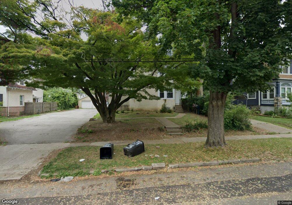
62 Penn Blvd Lansdowne, PA 19050
Estimated Value: $247,000 - $404,000
9
Beds
3
Baths
3,672
Sq Ft
$86/Sq Ft
Est. Value
About This Home
This home is located at 62 Penn Blvd, Lansdowne, PA 19050 and is currently estimated at $315,000, approximately $85 per square foot. 62 Penn Blvd is a home located in Delaware County with nearby schools including East Lansdowne Elementary School, Penn Wood Middle School, and Penn Wood High School - Cypress Street Campus.
Ownership History
Date
Name
Owned For
Owner Type
Purchase Details
Closed on
Aug 15, 2022
Sold by
Hill Robert L
Bought by
43 N Keystone Llc
Current Estimated Value
Purchase Details
Closed on
Feb 20, 2008
Sold by
Turner Paul R and Turner Bettelou
Bought by
Hill Robert L
Home Financials for this Owner
Home Financials are based on the most recent Mortgage that was taken out on this home.
Original Mortgage
$144,750
Interest Rate
5.57%
Mortgage Type
Purchase Money Mortgage
Purchase Details
Closed on
Aug 22, 2005
Sold by
Turner Paul R
Bought by
Turner Paul R and Turner Bettelou
Create a Home Valuation Report for This Property
The Home Valuation Report is an in-depth analysis detailing your home's value as well as a comparison with similar homes in the area
Home Values in the Area
Average Home Value in this Area
Purchase History
| Date | Buyer | Sale Price | Title Company |
|---|---|---|---|
| 43 N Keystone Llc | $203,000 | Bryn Mawr Abstract Inc | |
| Hill Robert L | $193,000 | None Available | |
| Turner Paul R | -- | -- |
Source: Public Records
Mortgage History
| Date | Status | Borrower | Loan Amount |
|---|---|---|---|
| Previous Owner | Hill Robert L | $144,750 |
Source: Public Records
Tax History Compared to Growth
Tax History
| Year | Tax Paid | Tax Assessment Tax Assessment Total Assessment is a certain percentage of the fair market value that is determined by local assessors to be the total taxable value of land and additions on the property. | Land | Improvement |
|---|---|---|---|---|
| 2025 | $8,921 | $208,770 | $56,340 | $152,430 |
| 2024 | $8,921 | $208,770 | $56,340 | $152,430 |
| 2023 | $6,670 | $208,770 | $56,340 | $152,430 |
| 2022 | $8,046 | $208,770 | $56,340 | $152,430 |
| 2021 | $11,996 | $208,770 | $56,340 | $152,430 |
| 2020 | $5,806 | $88,160 | $24,370 | $63,790 |
| 2019 | $5,709 | $88,160 | $24,370 | $63,790 |
| 2018 | $5,634 | $88,160 | $0 | $0 |
| 2017 | $5,346 | $88,160 | $0 | $0 |
| 2016 | $484 | $88,160 | $0 | $0 |
| 2015 | $494 | $88,160 | $0 | $0 |
| 2014 | $484 | $88,160 | $0 | $0 |
Source: Public Records
Map
Nearby Homes
- 608 Pembroke Ave
- 230 Wynnewood Ave
- 7026 Atlantic Ave
- 226 E Greenwood Ave
- 7129 Seaford Rd
- 7123 Seaford Rd
- 603 Penn St
- 407 Church Ln
- 209 E Greenwood Ave
- 319 E Essex Ave
- 317 E Essex Ave
- 315 E Essex Ave
- 726 Copley Rd
- 435 Bonsall Ave
- 7162 Radbourne Rd
- 178 N Union Ave
- 7216 Clinton Rd
- 7155 Radbourne Rd
- 7229 Clinton Rd
- 503 Bonsall Ave