Estimated Value: $5,340,288
--
Bed
--
Bath
--
Sq Ft
0.64
Acres
About This Home
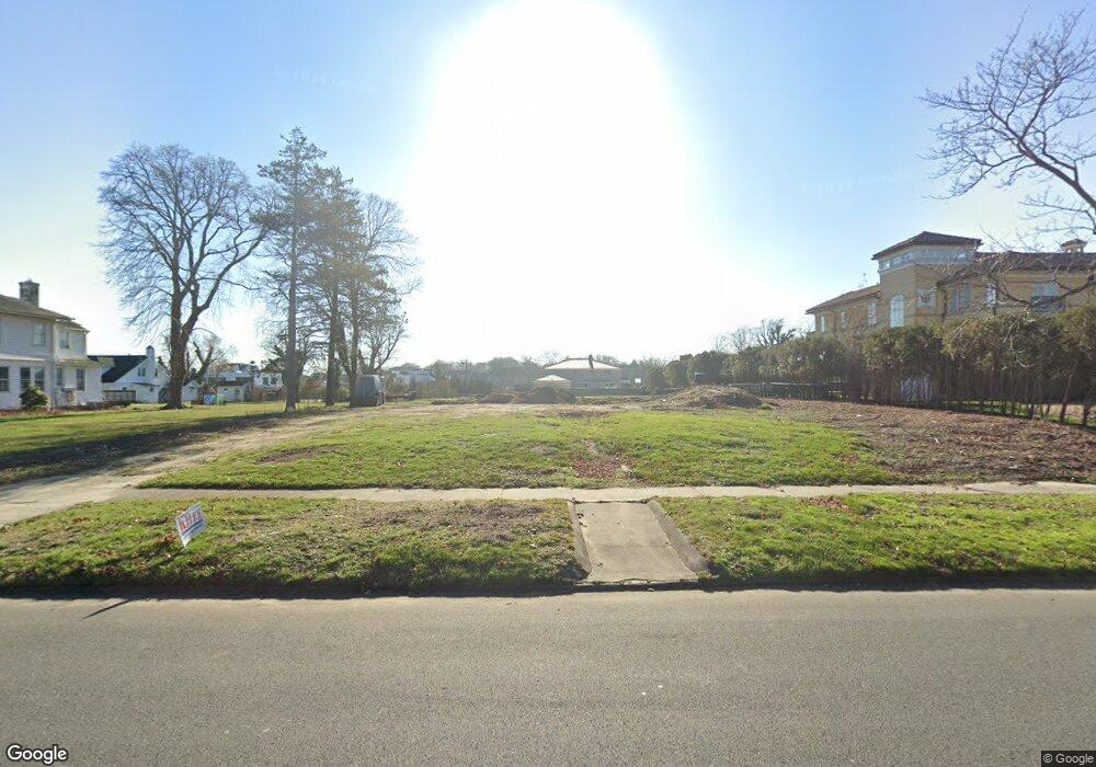
This home is located at 62 Phillips Ave, Deal, NJ 07723 and is currently estimated at $5,340,288. 62 Phillips Ave is a home located in Monmouth County with nearby schools including Deal Elementary School, Hope Academy Charter School, and St. Mary of the Assumption School.
Ownership History
Date
Name
Owned For
Owner Type
Purchase Details
Closed on
Mar 26, 2024
Sold by
Chehebar Richard
Bought by
Chehebar Richard
Current Estimated Value
Purchase Details
Closed on
Sep 5, 2018
Sold by
Sutton Jesse
Bought by
Chehebar Richard
Purchase Details
Closed on
Dec 17, 2012
Sold by
Sutton Sharon
Bought by
Sutton Jesse
Purchase Details
Closed on
Jan 3, 2011
Sold by
Ashkenazi Ezra S
Bought by
Sutton Carol and Kassin Joyce
Purchase Details
Closed on
Sep 16, 2010
Sold by
Ashkenazi Ezra S and Ashkenazi Sharyn
Bought by
Ashkenazi Ezra S
Create a Home Valuation Report for This Property
The Home Valuation Report is an in-depth analysis detailing your home's value as well as a comparison with similar homes in the area
Home Values in the Area
Average Home Value in this Area
Purchase History
| Date | Buyer | Sale Price | Title Company |
|---|---|---|---|
| Chehebar Richard | -- | None Listed On Document | |
| Chehebar Richard | $3,000,000 | Chicago Title | |
| Sutton Jesse | -- | None Available | |
| Sutton Carol | -- | None Available | |
| Ashkenazi Ezra S | -- | None Available |
Source: Public Records
Tax History Compared to Growth
Tax History
| Year | Tax Paid | Tax Assessment Tax Assessment Total Assessment is a certain percentage of the fair market value that is determined by local assessors to be the total taxable value of land and additions on the property. | Land | Improvement |
|---|---|---|---|---|
| 2025 | $20,759 | $5,596,800 | $5,596,800 | -- |
| 2024 | $19,651 | $4,861,700 | $4,861,700 | $0 |
| 2023 | $19,651 | $4,271,900 | $4,271,900 | $0 |
| 2022 | $16,965 | $3,309,500 | $3,309,500 | $0 |
| 2021 | $15,268 | $2,610,000 | $2,610,000 | $0 |
| 2020 | $19,434 | $2,721,800 | $2,721,800 | $0 |
| 2019 | $15,268 | $2,153,400 | $2,153,400 | $0 |
| 2018 | $13,947 | $2,009,600 | $2,009,600 | $0 |
| 2017 | $14,007 | $2,009,600 | $2,009,600 | $0 |
| 2016 | $13,128 | $1,878,100 | $1,878,100 | $0 |
| 2015 | $13,428 | $1,878,100 | $1,878,100 | $0 |
| 2014 | $13,031 | $1,825,000 | $1,825,000 | $0 |
Source: Public Records
Map
Nearby Homes
- 160 Ocean Ave
- 116 Phillips Ave
- 10 Campbell Ct
- 103 Poplar Ave
- 328 Elberon Blvd
- 0 Overbrook Ave
- 267 Roosevelt Ave
- 1 Country Club Dr
- 24 Berger Ave
- 271 Jerome Ave
- 206 S Lincoln Ave
- 296 Garfield Ave
- 306 Roosevelt Ave
- 101 Lincoln Ave
- 1039 Norwood Ave
- 210 Larchwood Ave
- 48 Hathaway Ave
- 404 Brookside Ave
- 1001 Norwood Ave Unit 5
- 1001 Norwood Ave Unit 6
- 68 Phillips Ave
- 58 Phillips Ave
- 53 Brighton Ave
- 74 Phillips Ave
- 54 Phillips Ave
- 57 Phillips Ave
- 55 Brighton Ave
- 51 Brighton Ave
- 61 Phillips Ave
- 49 Brighton Ave
- 78 Phillips Ave
- 69 Phillips Ave
- 48 Phillips Ave
- 49 Phillips Ave
- 69 Brighton Ave
- 75 Phillips Ave
- 84 Phillips Ave
- 77 Phillips Ave
- 8 Seaview Ln
- 43 Phillips Ave