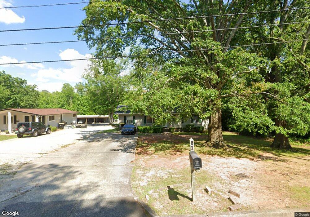
62 Roberts Rd Newnan, GA 30263
Estimated Value: $181,822 - $215,000
2
Beds
1
Bath
1,296
Sq Ft
$154/Sq Ft
Est. Value
About This Home
This home is located at 62 Roberts Rd, Newnan, GA 30263 and is currently estimated at $199,206, approximately $153 per square foot. 62 Roberts Rd is a home located in Coweta County with nearby schools including White Oak Elementary School, Arnall Middle School, and East Coweta High School.
Ownership History
Date
Name
Owned For
Owner Type
Purchase Details
Closed on
Mar 30, 2000
Sold by
Traylor Nell K
Bought by
Bridges Linda L
Current Estimated Value
Home Financials for this Owner
Home Financials are based on the most recent Mortgage that was taken out on this home.
Original Mortgage
$66,620
Outstanding Balance
$23,004
Interest Rate
8.34%
Mortgage Type
FHA
Estimated Equity
$176,202
Purchase Details
Closed on
Jan 31, 1986
Bought by
Traylor Nell K
Create a Home Valuation Report for This Property
The Home Valuation Report is an in-depth analysis detailing your home's value as well as a comparison with similar homes in the area
Home Values in the Area
Average Home Value in this Area
Purchase History
| Date | Buyer | Sale Price | Title Company |
|---|---|---|---|
| Bridges Linda L | $67,500 | -- | |
| Traylor Nell K | $40,000 | -- |
Source: Public Records
Mortgage History
| Date | Status | Borrower | Loan Amount |
|---|---|---|---|
| Open | Bridges Linda L | $66,620 |
Source: Public Records
Tax History Compared to Growth
Tax History
| Year | Tax Paid | Tax Assessment Tax Assessment Total Assessment is a certain percentage of the fair market value that is determined by local assessors to be the total taxable value of land and additions on the property. | Land | Improvement |
|---|---|---|---|---|
| 2024 | $1,353 | $59,230 | $16,388 | $42,842 |
| 2023 | $1,353 | $60,188 | $16,388 | $43,800 |
| 2022 | $1,255 | $51,602 | $16,388 | $35,214 |
| 2021 | $1,179 | $43,858 | $16,388 | $27,470 |
| 2020 | $1,205 | $43,858 | $16,388 | $27,470 |
| 2019 | $696 | $23,159 | $8,708 | $14,451 |
| 2018 | $700 | $23,159 | $8,708 | $14,451 |
| 2017 | $503 | $16,732 | $6,531 | $10,201 |
| 2016 | $504 | $16,732 | $6,531 | $10,201 |
| 2015 | $505 | $16,732 | $6,531 | $10,201 |
| 2014 | $516 | $16,732 | $6,531 | $10,201 |
Source: Public Records
Map
Nearby Homes
- 30 Pinson St
- 0 Davis St Unit 10606043
- 81 Chastain Cir
- 123 Chastain Cir
- 12 Burch Ave
- 10 Burch Ave
- 36 Mitchell St
- 40 Wilcoxon St
- 34 Umber Ln Unit LOT 13
- 10 Umber Ln Unit LOT 3
- 75 Pinson St
- 34 Russet Way Unit LOT 57
- 28 Russet Way Unit LOT 60
- 23 Dewey St
- 20 Salbide Ave
- 5 Casey Rd
- 15 Casey St
- 55A Perry St
- 145 Greison Trail
- 139 Greison Trail
- 60 Roberts Rd
- 66 Roberts Rd
- 58 Roberts Rd
- 70 Roberts Rd
- 56 Roberts Rd
- 72 Roberts Rd
- 1 Locust Dr
- 55 Roberts Rd
- 65 Roberts Rd
- 35 Mcintosh Pkwy
- 37 Mcintosh Pkwy
- 44 Mcintosh Pkwy
- 39 Mcintosh Pkwy
- 41 Mcintosh Pkwy
- 43 Mcintosh Pkwy
- 42 Mcintosh Pkwy
- 161 Summer Place
- 160 E Washington St
- 0 Roberts Rd Unit 7407205
- 0 Roberts Rd Unit 7388885