Estimated Value: $174,000 - $283,000
4
Beds
2
Baths
1,483
Sq Ft
$147/Sq Ft
Est. Value
About This Home
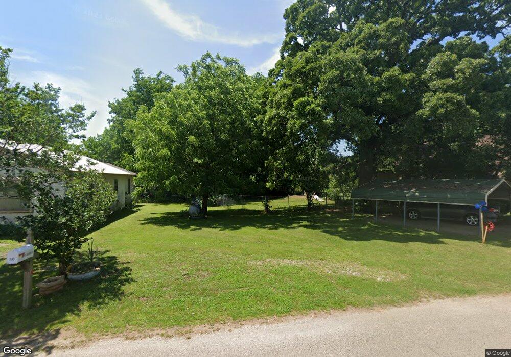
This home is located at 62 S Katy Dr, Mead, OK 73449 and is currently estimated at $218,291, approximately $147 per square foot. 62 S Katy Dr is a home located in Bryan County with nearby schools including Silo Early Childhood Center, Silo Elementary School, and Silo Middle School.
Ownership History
Date
Name
Owned For
Owner Type
Purchase Details
Closed on
Feb 19, 2009
Sold by
Arch Bay Holdings Llc
Bought by
Vanmeter Martin and Vanmeter Linda
Current Estimated Value
Home Financials for this Owner
Home Financials are based on the most recent Mortgage that was taken out on this home.
Original Mortgage
$66,250
Interest Rate
5.13%
Mortgage Type
Purchase Money Mortgage
Purchase Details
Closed on
May 28, 2004
Sold by
Benhardt Randall and Benhardt Audre
Bought by
Fleming Richard and Fleming Tephan
Purchase Details
Closed on
Dec 17, 1999
Sold by
Benharts Revocable Trust
Bought by
Benhartd Randall and Benhartd Audrey
Purchase Details
Closed on
Aug 6, 1997
Sold by
Benhardt Calvin and Benhardt Judy
Bought by
Benhardt Revocable Trust
Purchase Details
Closed on
May 14, 1992
Sold by
Dunn Marcus L
Bought by
Benhardt Calvin and Benhardt Judy
Create a Home Valuation Report for This Property
The Home Valuation Report is an in-depth analysis detailing your home's value as well as a comparison with similar homes in the area
Home Values in the Area
Average Home Value in this Area
Purchase History
| Date | Buyer | Sale Price | Title Company |
|---|---|---|---|
| Vanmeter Martin | $62,500 | None Available | |
| Fleming Richard | $88,500 | -- | |
| Benhartd Randall | $81,500 | -- | |
| Benhardt Revocable Trust | -- | -- | |
| Benhardt Calvin | $46,500 | -- |
Source: Public Records
Mortgage History
| Date | Status | Borrower | Loan Amount |
|---|---|---|---|
| Closed | Vanmeter Martin | $66,250 |
Source: Public Records
Tax History Compared to Growth
Tax History
| Year | Tax Paid | Tax Assessment Tax Assessment Total Assessment is a certain percentage of the fair market value that is determined by local assessors to be the total taxable value of land and additions on the property. | Land | Improvement |
|---|---|---|---|---|
| 2025 | $1,124 | $13,948 | $1,525 | $12,423 |
| 2024 | $1,124 | $13,284 | $1,525 | $11,759 |
| 2023 | $1,124 | $12,652 | $1,525 | $11,127 |
| 2022 | $1,021 | $12,049 | $1,525 | $10,524 |
| 2021 | $961 | $11,642 | $1,463 | $10,179 |
| 2020 | $921 | $11,088 | $1,379 | $9,709 |
| 2019 | $890 | $10,559 | $1,299 | $9,260 |
| 2018 | $851 | $10,057 | $2,286 | $7,771 |
| 2017 | $705 | $9,578 | $2,295 | $7,283 |
| 2016 | $672 | $9,122 | $1,100 | $8,022 |
| 2015 | $672 | $9,122 | $1,100 | $8,022 |
| 2014 | $671 | $9,122 | $1,100 | $8,022 |
Source: Public Records
Map
Nearby Homes
- 426 White Dr
- 280 Sunset Way
- 364 Sunset Way
- 300 Sunset Way
- 320 Sunset Way
- 342 Sunset Way
- 802 W Sand Point Rd
- 0 S Texoma Rd
- 429 N Sand Point Rd
- 180 Sunset Cove
- 249 Sunset Cove
- 0 N Sand Point Rd
- 198 Texoma Dr
- 1409 Streetman Rd
- 0 E Sophia Loop Unit 20251214
- 45 W Sophia Loop
- 36 Flounder Rd
- 653 Max Rd
- 65 Bass Dr
- 75 Perch Dr
- 36 S Katy Dr
- 506 S Texoma Rd
- 91 Streetman Cir
- 633 S Texoma Rd
- 413 S Texoma Rd
- 117 S Texoma Rd
- 117 W Texoma Rd
- 592 S Texoma Rd
- 392 S Texoma Rd
- 672 S Texoma Rd
- 375 S Texoma Rd
- 377 S Texoma Rd
- 133 W Peterson Dr
- 68 Whites Dr
- 0 W Peterson Dr
- 369 S Texoma Rd
- 10 W Peterson Dr
- 745 S Texoma Rd
- 122 W Peterson Dr
- 68 W Peterson Dr