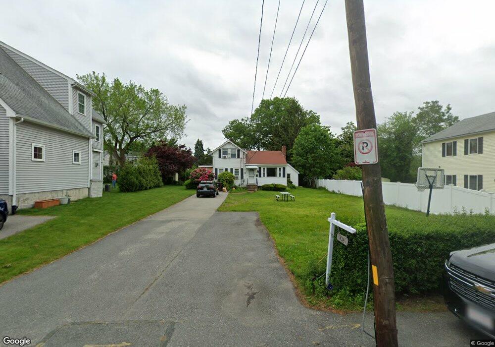
62 Solaris Rd Unit 62 Dedham, MA 02026
East Dedham NeighborhoodEstimated Value: $529,000 - $596,000
3
Beds
1
Bath
1,050
Sq Ft
$541/Sq Ft
Est. Value
About This Home
This home is located at 62 Solaris Rd Unit 62, Dedham, MA 02026 and is currently estimated at $568,339, approximately $541 per square foot. 62 Solaris Rd Unit 62 is a home located in Norfolk County with nearby schools including Avery, Dedham Middle School, and Dedham High School.
Ownership History
Date
Name
Owned For
Owner Type
Purchase Details
Closed on
Dec 28, 2018
Sold by
Fiumedora Ft 2
Bought by
Mathew Shaji and Mathew Shainy
Current Estimated Value
Home Financials for this Owner
Home Financials are based on the most recent Mortgage that was taken out on this home.
Original Mortgage
$320,625
Outstanding Balance
$283,585
Interest Rate
4.9%
Mortgage Type
New Conventional
Estimated Equity
$284,754
Create a Home Valuation Report for This Property
The Home Valuation Report is an in-depth analysis detailing your home's value as well as a comparison with similar homes in the area
Home Values in the Area
Average Home Value in this Area
Purchase History
| Date | Buyer | Sale Price | Title Company |
|---|---|---|---|
| Mathew Shaji | $337,500 | -- |
Source: Public Records
Mortgage History
| Date | Status | Borrower | Loan Amount |
|---|---|---|---|
| Open | Mathew Shaji | $320,625 |
Source: Public Records
Tax History Compared to Growth
Tax History
| Year | Tax Paid | Tax Assessment Tax Assessment Total Assessment is a certain percentage of the fair market value that is determined by local assessors to be the total taxable value of land and additions on the property. | Land | Improvement |
|---|---|---|---|---|
| 2025 | $5,345 | $423,500 | $223,000 | $200,500 |
| 2024 | $5,081 | $406,500 | $211,100 | $195,400 |
| 2023 | $4,860 | $378,500 | $187,400 | $191,100 |
| 2022 | $4,679 | $350,500 | $183,500 | $167,000 |
| 2021 | $4,411 | $322,700 | $179,600 | $143,100 |
| 2020 | $4,290 | $312,700 | $171,600 | $141,100 |
| 2019 | $4,064 | $287,200 | $149,200 | $138,000 |
| 2018 | $4,027 | $276,800 | $131,900 | $144,900 |
| 2017 | $3,869 | $262,100 | $123,500 | $138,600 |
| 2016 | $3,719 | $240,100 | $107,800 | $132,300 |
| 2015 | $3,656 | $230,400 | $106,000 | $124,400 |
| 2014 | $3,542 | $220,300 | $103,600 | $116,700 |
Source: Public Records
Map
Nearby Homes
- 1905 River St Unit 1905
- 1896 River St
- 1892 River St
- 1886-1888 River St
- 3 Lewis Farm Rd
- 1864 River St
- 85 Como Rd
- 38 Fleming St
- 1816 River St
- 7 S Stone Mill Dr Unit 403
- 98 Chesterfield St
- 000 Danny Rd
- 13 W Milton Place
- 10 Fairview St
- 61 W Milton St Unit B
- 45 Dietz Rd
- 11 Danny Rd
- 40 Unit 207
- 71 Readville St Unit B
- 71 Readville St Unit A