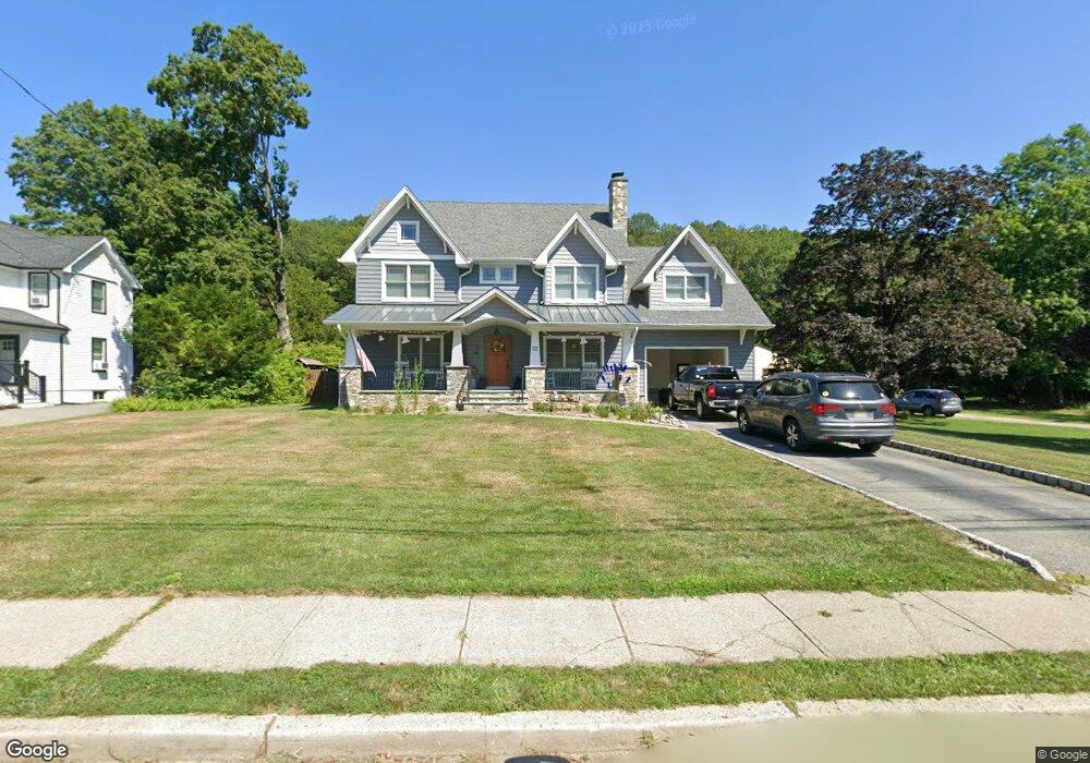
62 Van Dam Ave Bloomingdale, NJ 07403
Estimated Value: $629,000 - $783,000
--
Bed
--
Bath
2,680
Sq Ft
$260/Sq Ft
Est. Value
About This Home
This home is located at 62 Van Dam Ave, Bloomingdale, NJ 07403 and is currently estimated at $697,039, approximately $260 per square foot. 62 Van Dam Ave is a home located in Passaic County with nearby schools including Samuel R. Donald School, Martha B. Day School, and Walter T. Bergen Middle School.
Ownership History
Date
Name
Owned For
Owner Type
Purchase Details
Closed on
Oct 15, 1999
Sold by
Aluzzo Louise and Springstead Marie
Bought by
Lozosky William J and Lozosky Cheryl A
Current Estimated Value
Home Financials for this Owner
Home Financials are based on the most recent Mortgage that was taken out on this home.
Original Mortgage
$148,000
Outstanding Balance
$44,517
Interest Rate
7.78%
Estimated Equity
$652,522
Purchase Details
Closed on
Oct 30, 1998
Sold by
Aluzzo Louise and Springstead Marie
Bought by
Aluzzo Louise and Springstead Marie
Create a Home Valuation Report for This Property
The Home Valuation Report is an in-depth analysis detailing your home's value as well as a comparison with similar homes in the area
Home Values in the Area
Average Home Value in this Area
Purchase History
| Date | Buyer | Sale Price | Title Company |
|---|---|---|---|
| Lozosky William J | $200,000 | -- | |
| Aluzzo Louise | -- | -- |
Source: Public Records
Mortgage History
| Date | Status | Borrower | Loan Amount |
|---|---|---|---|
| Open | Lozosky William J | $148,000 |
Source: Public Records
Tax History Compared to Growth
Tax History
| Year | Tax Paid | Tax Assessment Tax Assessment Total Assessment is a certain percentage of the fair market value that is determined by local assessors to be the total taxable value of land and additions on the property. | Land | Improvement |
|---|---|---|---|---|
| 2025 | $17,339 | $378,000 | $131,100 | $246,900 |
| 2024 | $17,018 | $378,000 | $131,100 | $246,900 |
| 2022 | $16,991 | $378,000 | $131,100 | $246,900 |
| 2021 | $16,624 | $378,000 | $131,100 | $246,900 |
| 2020 | $16,488 | $378,000 | $131,100 | $246,900 |
| 2019 | $11,482 | $265,900 | $131,100 | $134,800 |
| 2018 | $11,420 | $265,900 | $131,100 | $134,800 |
| 2017 | $11,205 | $265,900 | $131,100 | $134,800 |
| 2016 | $11,048 | $265,900 | $131,100 | $134,800 |
| 2015 | $10,780 | $265,900 | $131,100 | $134,800 |
| 2014 | $10,383 | $265,900 | $131,100 | $134,800 |
Source: Public Records
Map
Nearby Homes
- 22 Chestnut St
- 20 Orchard St
- 31 Poplar St
- 31 Hamilton St
- 17 Walnut St
- 29 Leary Ave
- 81 Mountain View Ct Unit 81
- 81 Mountainview Ct
- 76 Reeve Ave
- 32 Matthews Terrace
- 89 Knolls Rd
- 60 Rockcreek Terrace Unit 60
- 247 Rafkind Rd
- 68 High St
- 134 Rafkind Rd
- 120 Knolls Rd
- 7201 Coventry Ct Unit 201
- 7110 Coventry Ct
- 64 Van Dam Ave
- 66 Van Dam Ave
- 5 Chestnut St
- 65 Van Dam Ave
- 63 Van Dam Ave
- 54 Van Dam Ave
- 50 Van Dam Ave
- 7 Chestnut St
- 53 Van Dam Ave
- 67 Van Dam Ave
- 51 Van Dam Ave
- 70 Van Dam Ave
- 9 Chestnut St
- 10 Chestnut St
- 71 Van Dam Ave
- 8 White Haven Place
- 48 Van Dam Ave
- 11 Chestnut St
- 10 White Haven Place
- 12 Chestnut St