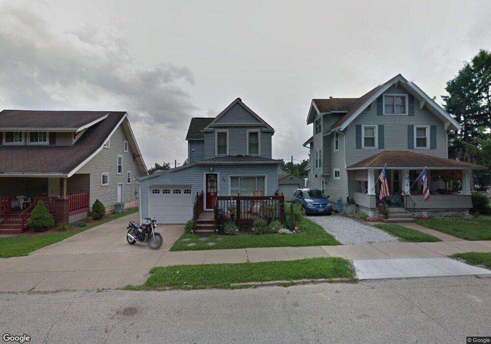
62 W Summit St Barberton, OH 44203
North Barberton NeighborhoodEstimated Value: $124,000 - $144,000
2
Beds
1
Bath
1,082
Sq Ft
$122/Sq Ft
Est. Value
About This Home
This home is located at 62 W Summit St, Barberton, OH 44203 and is currently estimated at $131,633, approximately $121 per square foot. 62 W Summit St is a home located in Summit County with nearby schools including Barberton Middle School, Barberton Intermediate School 3-5, and Barberton High School.
Ownership History
Date
Name
Owned For
Owner Type
Purchase Details
Closed on
Nov 14, 2003
Sold by
Barnes Swania Lee and Barnes George
Bought by
Bowers Ronald R
Current Estimated Value
Home Financials for this Owner
Home Financials are based on the most recent Mortgage that was taken out on this home.
Original Mortgage
$52,000
Outstanding Balance
$23,789
Interest Rate
5.81%
Mortgage Type
Purchase Money Mortgage
Estimated Equity
$107,844
Purchase Details
Closed on
Jun 23, 2000
Sold by
Puett Karl Edward
Bought by
Barnes Swania Lee
Create a Home Valuation Report for This Property
The Home Valuation Report is an in-depth analysis detailing your home's value as well as a comparison with similar homes in the area
Home Values in the Area
Average Home Value in this Area
Purchase History
| Date | Buyer | Sale Price | Title Company |
|---|---|---|---|
| Bowers Ronald R | $85,000 | First Security Title Corpora | |
| Barnes Swania Lee | -- | -- |
Source: Public Records
Mortgage History
| Date | Status | Borrower | Loan Amount |
|---|---|---|---|
| Open | Bowers Ronald R | $52,000 |
Source: Public Records
Tax History Compared to Growth
Tax History
| Year | Tax Paid | Tax Assessment Tax Assessment Total Assessment is a certain percentage of the fair market value that is determined by local assessors to be the total taxable value of land and additions on the property. | Land | Improvement |
|---|---|---|---|---|
| 2025 | $1,794 | $33,002 | $7,039 | $25,963 |
| 2024 | $1,794 | $33,002 | $7,039 | $25,963 |
| 2023 | $1,794 | $33,002 | $7,039 | $25,963 |
| 2022 | $1,385 | $21,697 | $4,599 | $17,098 |
| 2021 | $1,283 | $21,697 | $4,599 | $17,098 |
| 2020 | $1,356 | $21,700 | $4,600 | $17,100 |
| 2019 | $1,036 | $14,640 | $4,050 | $10,590 |
| 2018 | $1,022 | $14,640 | $4,050 | $10,590 |
| 2017 | $984 | $14,640 | $4,050 | $10,590 |
| 2016 | $986 | $14,640 | $4,050 | $10,590 |
| 2015 | $984 | $14,640 | $4,050 | $10,590 |
| 2014 | $979 | $14,640 | $4,050 | $10,590 |
| 2013 | $991 | $15,370 | $4,050 | $11,320 |
Source: Public Records
Map
Nearby Homes
- 44 W Summit St
- 690 Saint Clair Ave
- 0 Wooster Rd N
- 103 Mitchell St
- 613 Wooster Rd N
- 30 W Hiram St
- 645 Madison Ave
- 818 N Summit St
- 412 Grandview Ave
- 277 Glenn St
- 146 Hermann St
- 143 Glenn St
- 137 Hermann St
- 0 Romig Ave
- 320 Lincoln Ave Unit 322
- 213 Hermann St
- 250 Evergreen St
- 76 Hazelwood Ave
- 1924 Caroline Ave
- 261 E State St
- 62 W Summit St
- 58 W Summit St
- 66 W Summit St
- 54 W Summit St
- 48 W Summit St
- 766 Wooster Rd N
- 760 Wooster Rd N
- 770 Wooster Rd N
- 754 Wooster Rd N
- 770 Wooster Rd N
- 78 W Summit St
- 40 W Summit St
- 778 Wooster Rd N
- 82 W Summit St
- 75 W Summit St
- 36 W Summit St
- 746 Wooster Rd N Unit 750
- 740 Wooster Rd N
- 784 Wooster Rd N
- 775 779 Wooster Rd