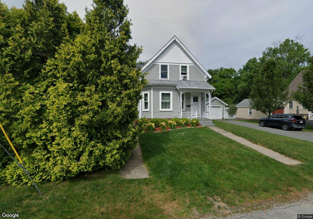
62 Webster St Whitman, MA 02382
Estimated Value: $614,534 - $695,000
3
Beds
2
Baths
2,707
Sq Ft
$239/Sq Ft
Est. Value
About This Home
This home is located at 62 Webster St, Whitman, MA 02382 and is currently estimated at $645,884, approximately $238 per square foot. 62 Webster St is a home located in Plymouth County with nearby schools including St Bridget School.
Ownership History
Date
Name
Owned For
Owner Type
Purchase Details
Closed on
Oct 12, 1993
Sold by
Willse Charles E and Willse Linda J
Bought by
Berry Maureen J
Current Estimated Value
Home Financials for this Owner
Home Financials are based on the most recent Mortgage that was taken out on this home.
Original Mortgage
$108,000
Interest Rate
6.9%
Mortgage Type
Purchase Money Mortgage
Create a Home Valuation Report for This Property
The Home Valuation Report is an in-depth analysis detailing your home's value as well as a comparison with similar homes in the area
Home Values in the Area
Average Home Value in this Area
Purchase History
| Date | Buyer | Sale Price | Title Company |
|---|---|---|---|
| Berry Maureen J | $120,000 | -- |
Source: Public Records
Mortgage History
| Date | Status | Borrower | Loan Amount |
|---|---|---|---|
| Open | Berry Maureen J | $190,000 | |
| Closed | Berry Maureen J | $180,000 | |
| Closed | Berry Maureen J | $108,000 |
Source: Public Records
Tax History
| Year | Tax Paid | Tax Assessment Tax Assessment Total Assessment is a certain percentage of the fair market value that is determined by local assessors to be the total taxable value of land and additions on the property. | Land | Improvement |
|---|---|---|---|---|
| 2025 | $6,386 | $486,700 | $192,300 | $294,400 |
| 2024 | $5,998 | $470,800 | $187,600 | $283,200 |
| 2023 | $5,775 | $425,600 | $164,000 | $261,600 |
| 2022 | $5,828 | $400,300 | $157,200 | $243,100 |
| 2021 | $5,580 | $360,000 | $142,600 | $217,400 |
| 2020 | $5,554 | $350,400 | $140,300 | $210,100 |
| 2019 | $5,218 | $339,300 | $140,300 | $199,000 |
| 2018 | $4,856 | $303,300 | $133,600 | $169,700 |
| 2017 | $4,574 | $303,300 | $133,600 | $169,700 |
| 2016 | $4,354 | $279,300 | $122,300 | $157,000 |
| 2015 | $4,360 | $279,300 | $122,300 | $157,000 |
Source: Public Records
Map
Nearby Homes
- 150 Harvard St
- 48 Day St
- 8 Laurel St
- 53 Temple St
- 159 Auburn St
- 157 Auburn St Unit 157
- 95 Temple St
- 154 Auburn St
- 147 South Ave
- 110 South Ave
- 135-137 Temple St
- 133 West St
- 289 Commercial St
- 413 Harvard St
- 22 Old Coach Rd
- 42 Rock St
- Plan A Northville Village Unit Plan A
- Plan A Northville Village
- 548 Harvard St
- 66 Belmont St
- 70 Webster St
- 74 Webster St
- 63 Webster St
- 46 Webster St
- 71 Webster St
- 3 Fieldstone Cir
- 40 Webster St
- 78 Webster St
- 81 Webster St
- 88 Webster St
- 100 Payton Place
- 34 Webster St
- 31 Webster St
- 23 Webster St Unit 25
- 23-25 Webster St
- 93 Webster St
- 26 Webster St
- 2 Fieldstone Cir
- 7 Magnolia Cir
- 81 Payton Place